Posted on Leave a comment

Peddars Way

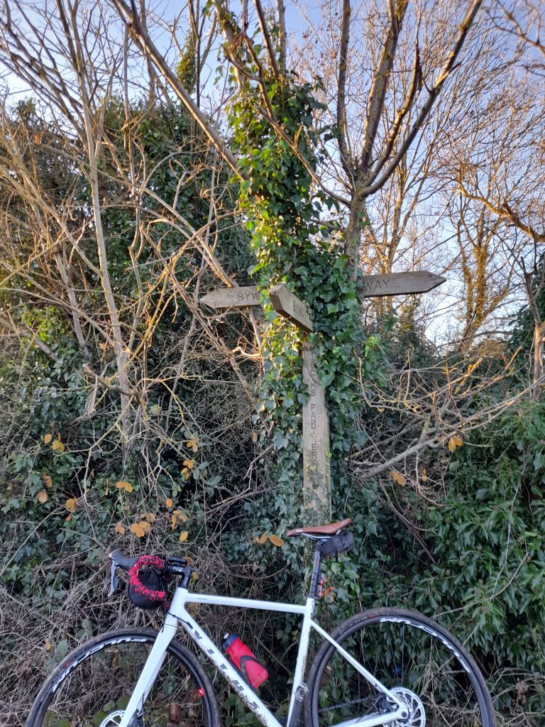
Peddars Way is a long-distance route across Norfolk that begins near Knettishall Heath and runs for approximately 46 km to the coast near Hunstanton. It is thought to have existed as an ancient trackway prior to the arrival of the Romans who established it as a road in AD 61. The track was later used as a pilgrimage route.

It’s worth noting that Norfolk was a much wetter place when the Romans arrived. In fact, going much further back there was a marshland that extended all the way to mainland Europe. The Visit Norfolk website explains: “Norfolk used to be joined to the continent…. It was only the final thawing of the last Ice Age around 5000 BC that separated [Norfolk from the continent].”
To quote National Geographic; roughly 12,000 years ago, as the last major ice age was reaching its end, the area was very different. Instead of the North Sea, the area was a series of gently sloping hills, marshland, heavily wooded valleys, and swampy lagoons.” This area was known as Doggerland. Today the weather forecast includes an area of the North Sea called Dogger Bank. As the sea rose the land mass became submerged.

This rather long-winded explanation is my way of telling the would-be Peddars Way cyclist that much of Peddars Way is sandy and hard going.

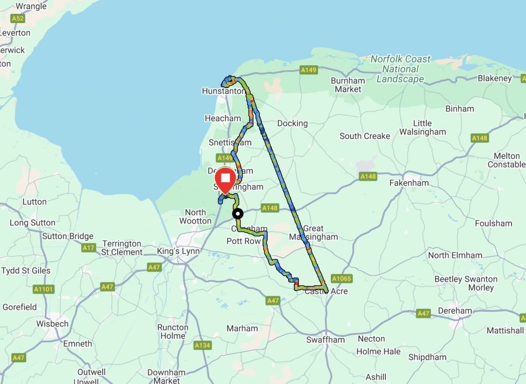
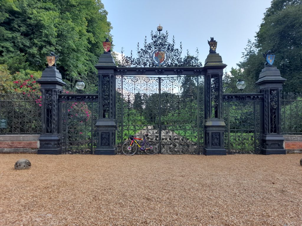
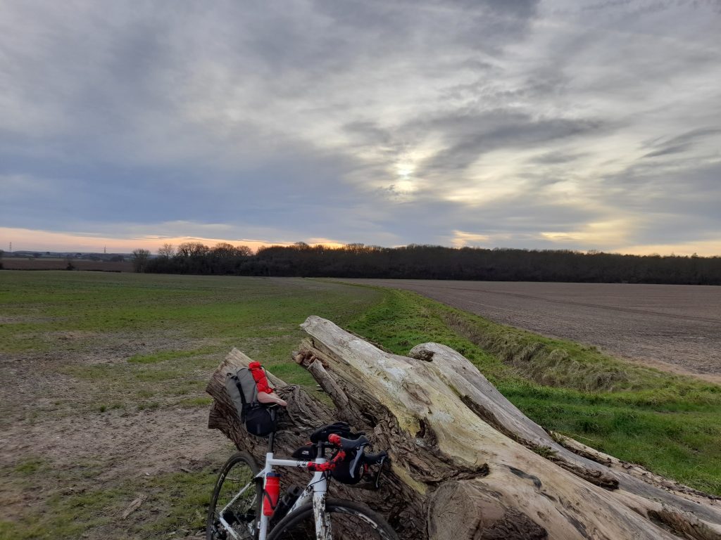
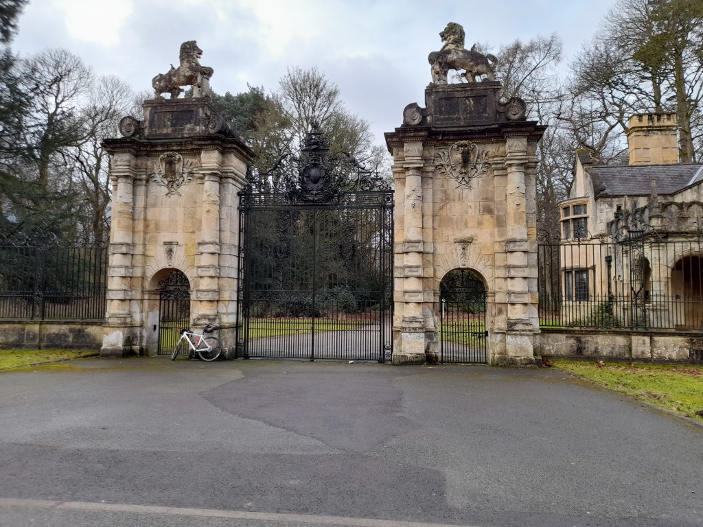
The route has been on my to-do-list for a while but in particular the largely unmetalled section which begins south of Great Massingham. So, on the weekend of the 14th June 2025 I based my tent in the friendly and picturesque Camping and Caravan Club site in Sandringham and set off early in the morning with a loop planned to head southeast to Castle Acre from where I would join Peddars Way north to the coast at Old Hunstanton before returning to my base camp in Sandringham.

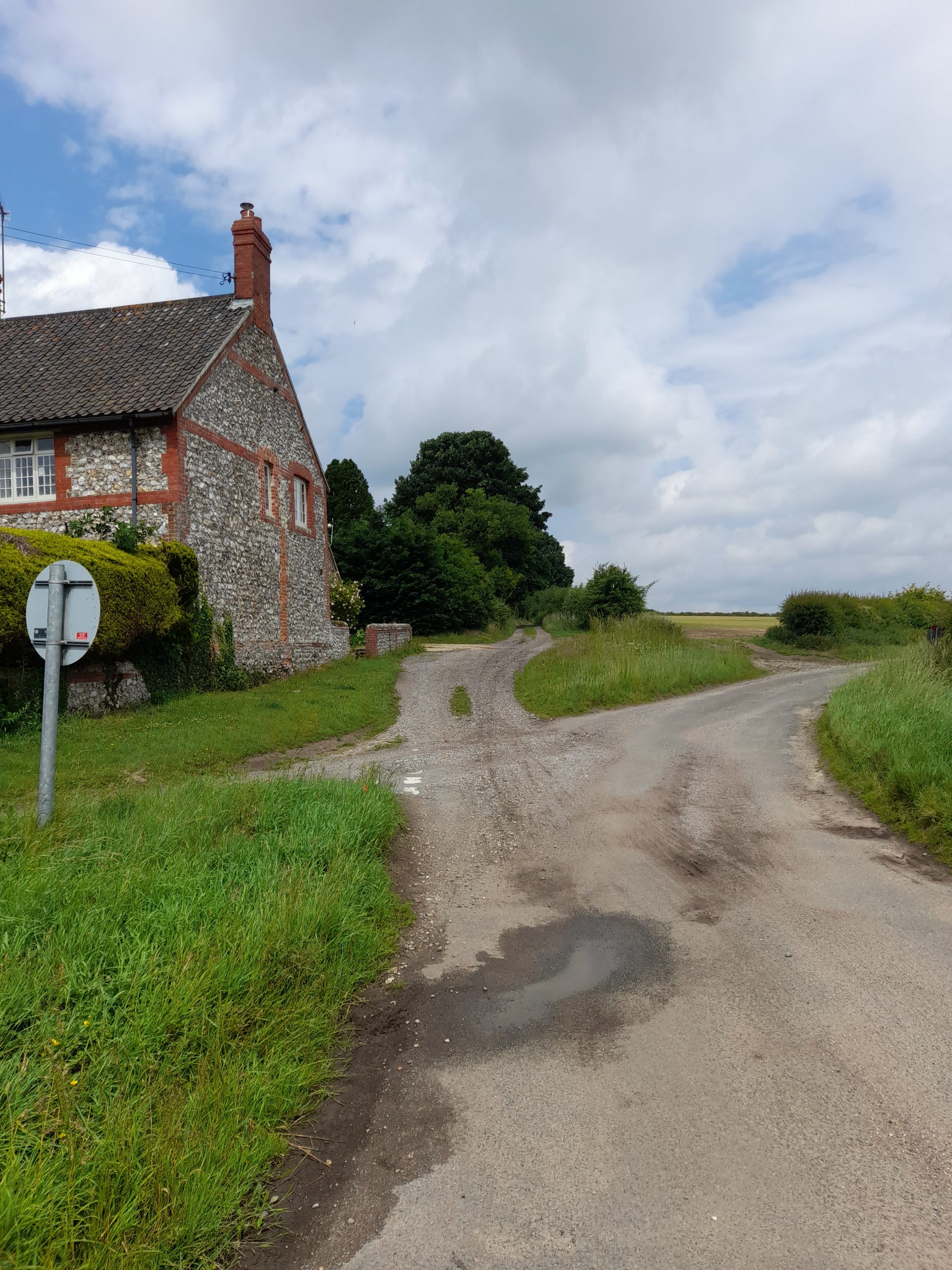
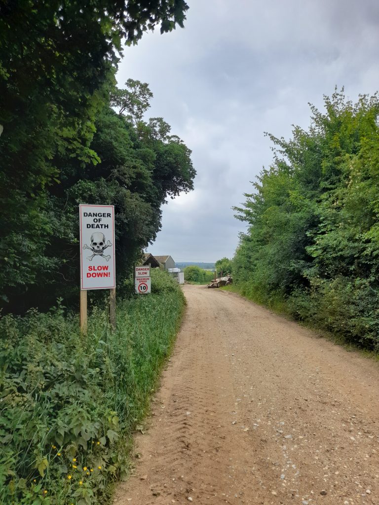
There had been thunderstorms across Norfolk during the evening before my ride.  Drizzle remained in the air as I made my way from the Royal Park. I obviously took ‘Common Road’ outbound. Within half an hour the weather settled into a drying track as I reached my first, and unexpected stretch of gravel road. Just after Grimston, Eastgate Drove provided 10 km of gravel that was wide but sandy and challenging at times with a noticeable sandy climb at one point. So, challenging in fact I recall a ‘Danger of Death’ sign as I descended through some S bends at a farmyard.

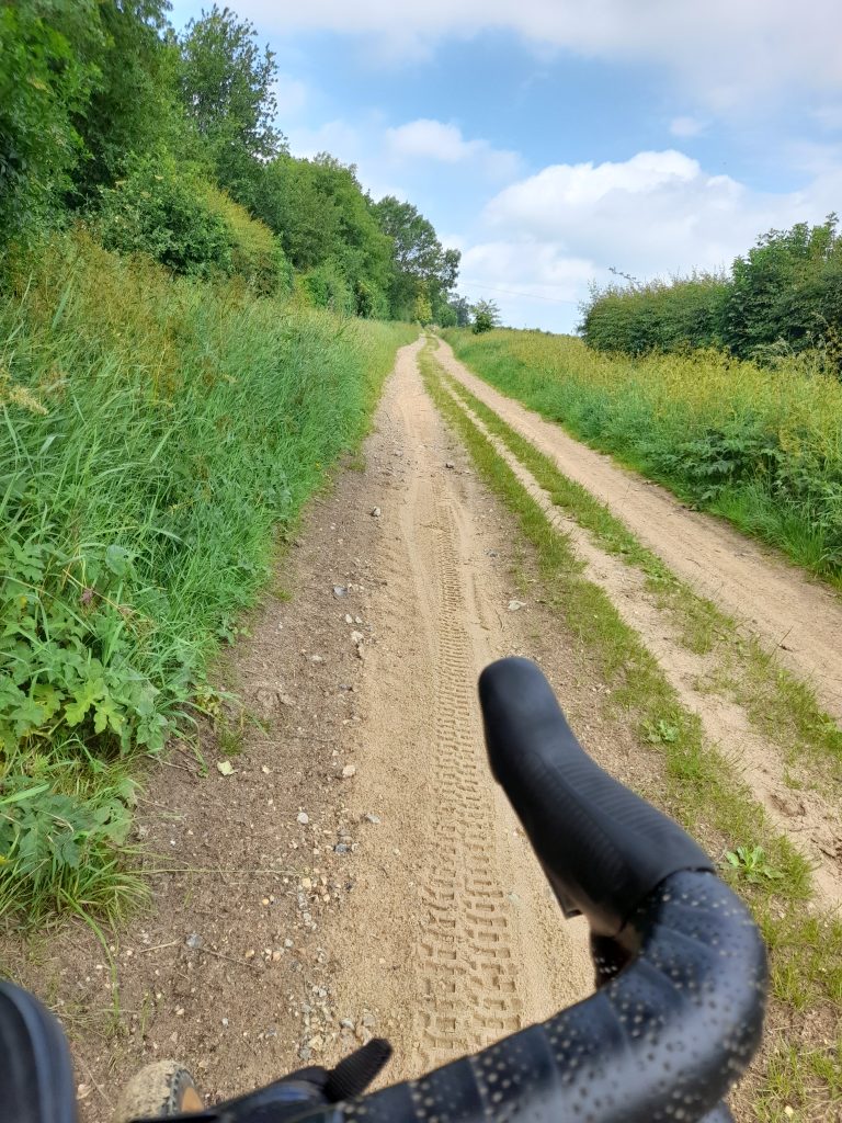
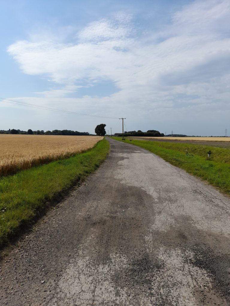
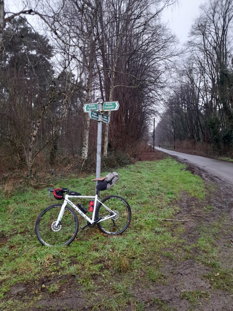
Leaving the gravel at West Acre it was only a short distance on a country lane to Castle Acre where, after a short detour to explore the village, I joined the Tarmac’d section of Peddars Way for 5 km before the first section of ancient trackway commenced marked by a slightly wonky triangulation post. There then followed 20 km of almost uninterrupted gravel cycling.

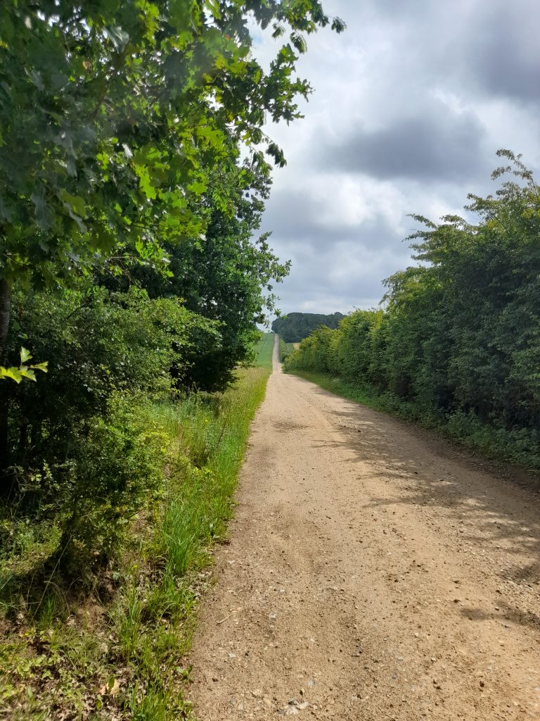
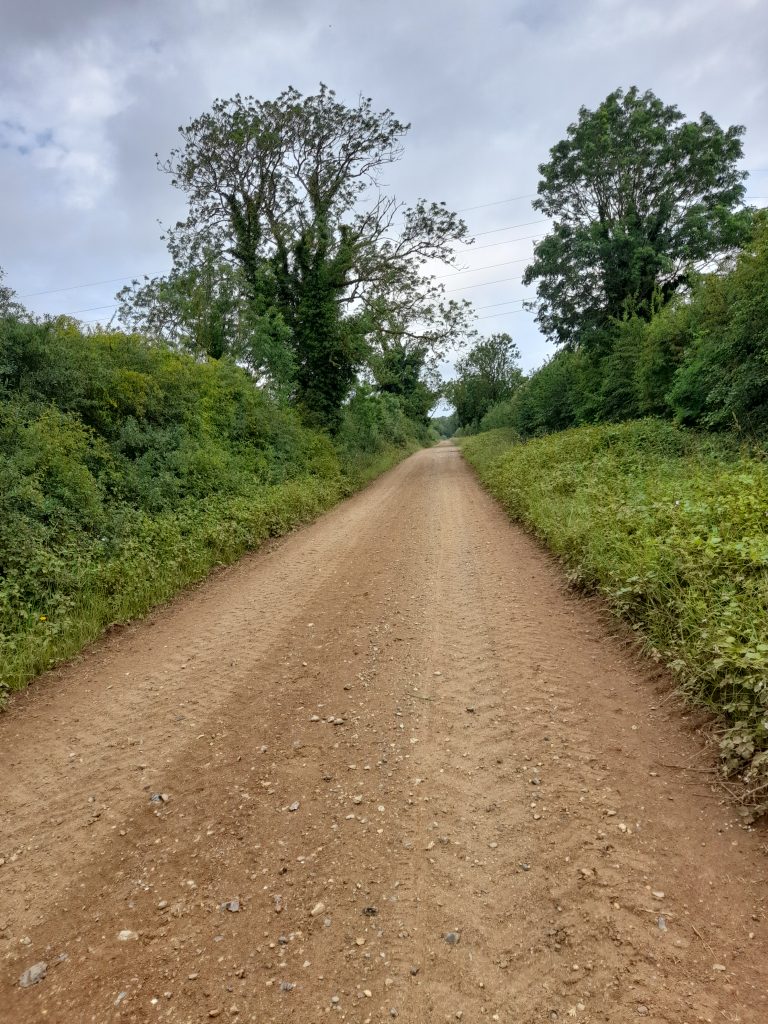
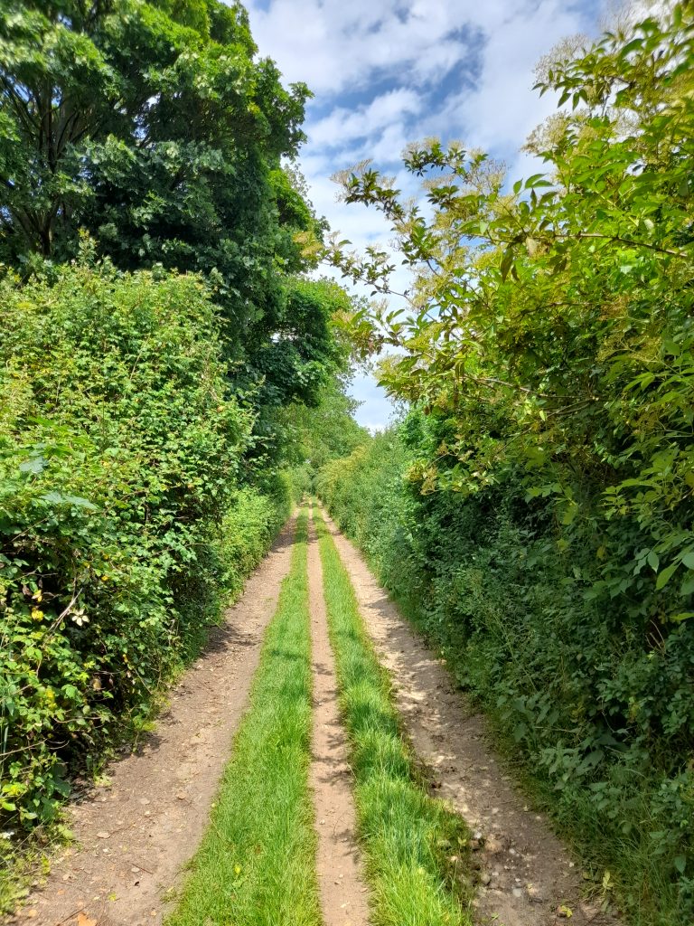
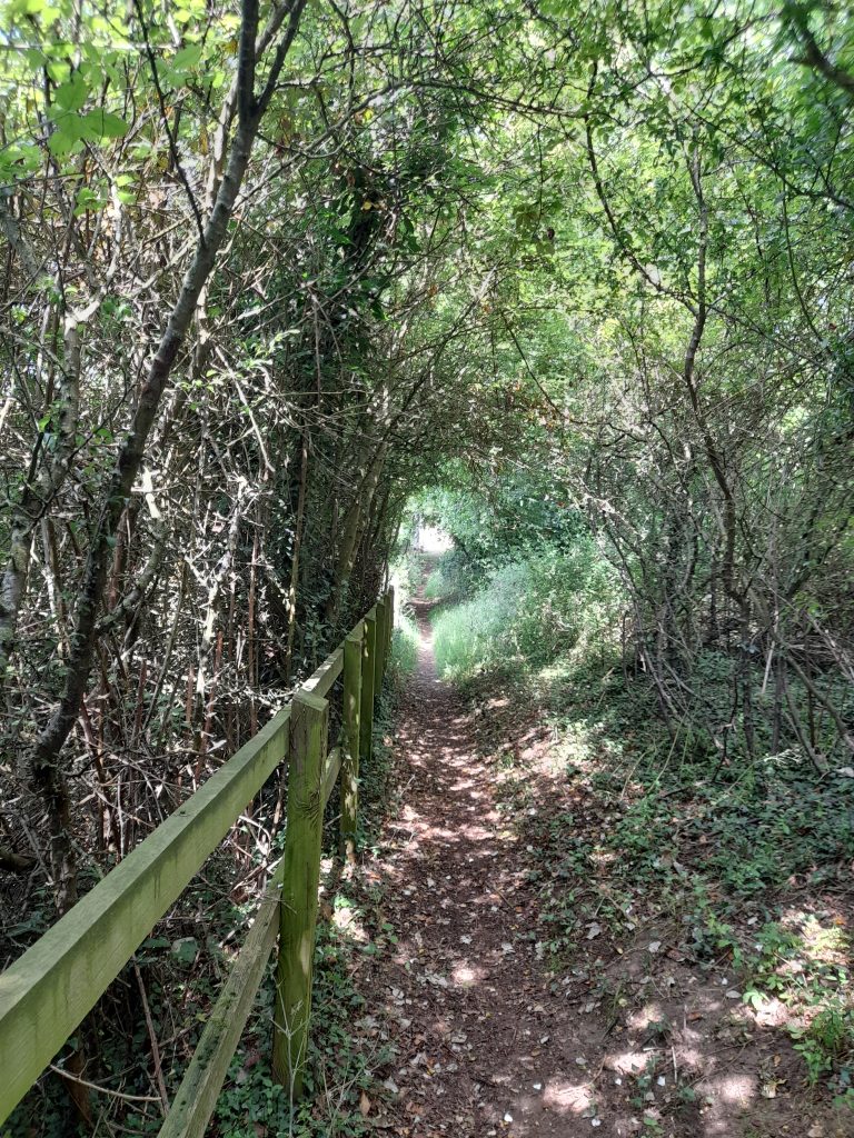
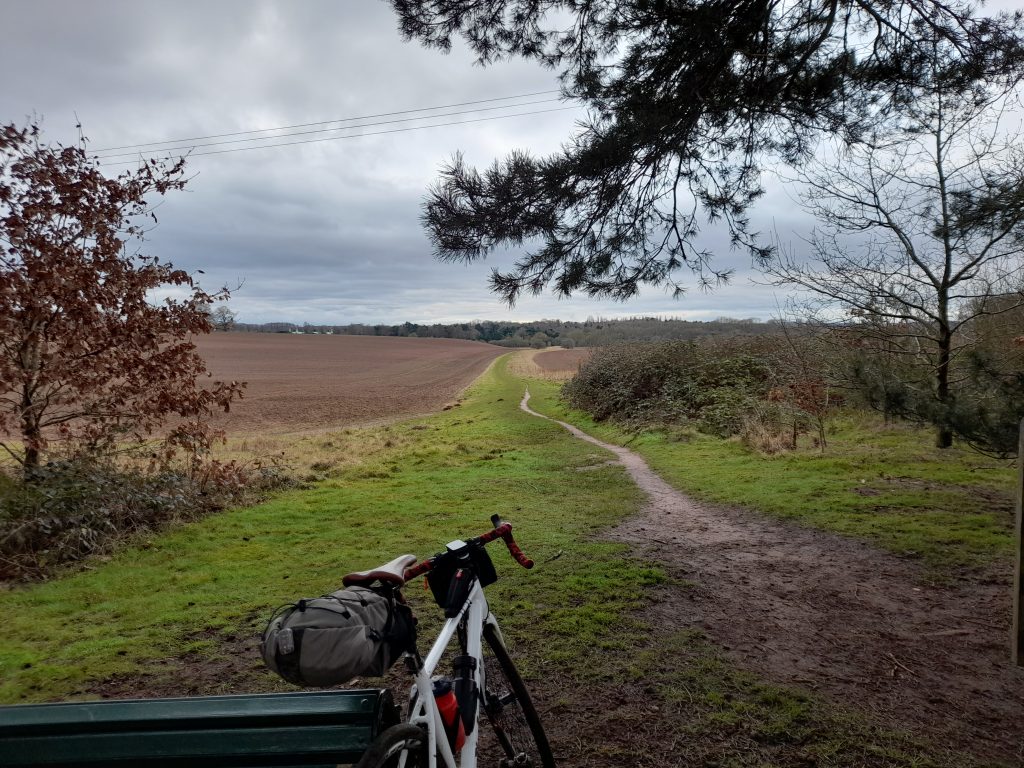
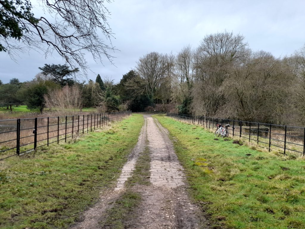
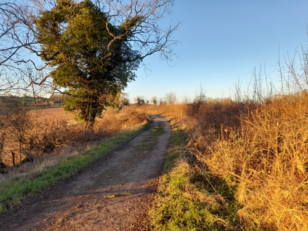
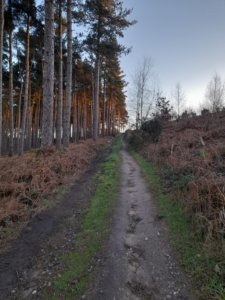
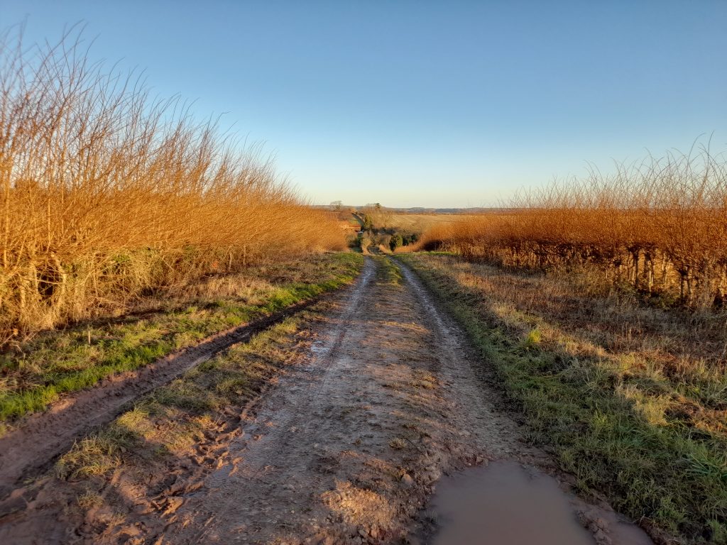
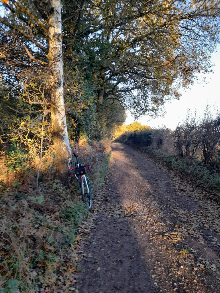
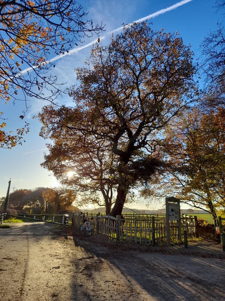
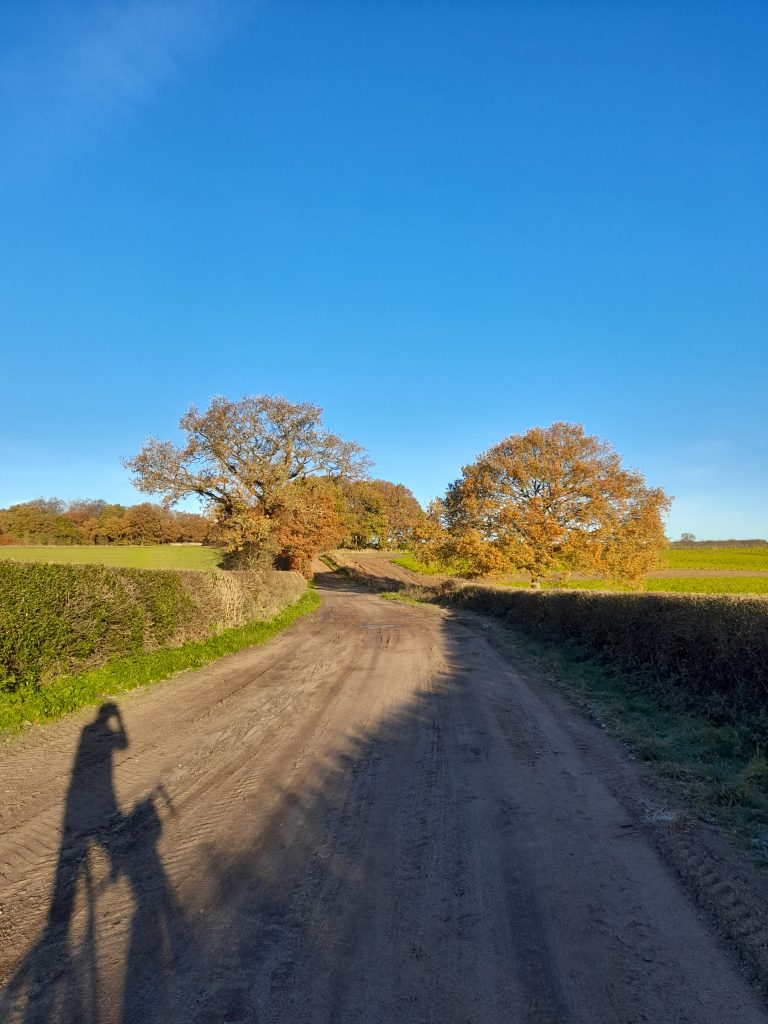
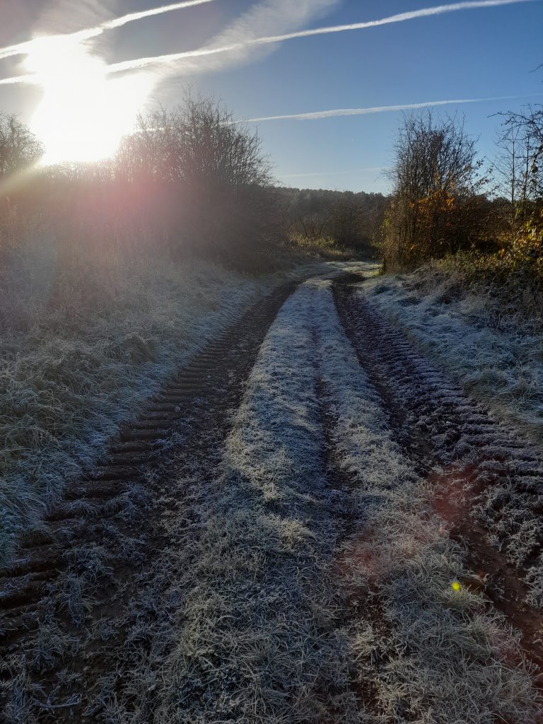
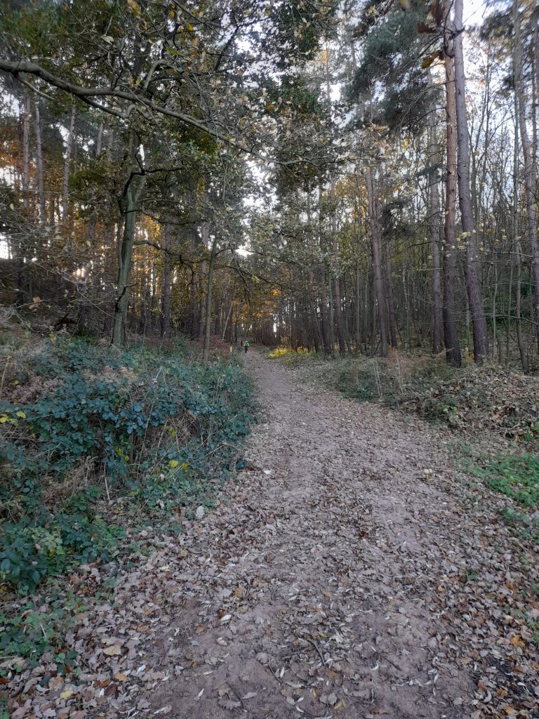
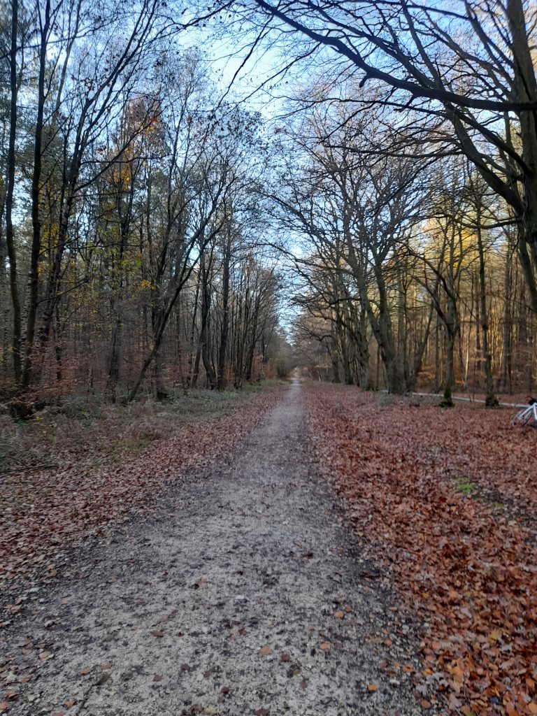
Peddars way from that point was made up of distinctive sections varying between sandy and shale gravel track, grass lanes with various types of surface and a few short sections that are footpaths. Some parts had clearly been used as a green lane route for off road vehicles resulting in a rollercoaster ride.

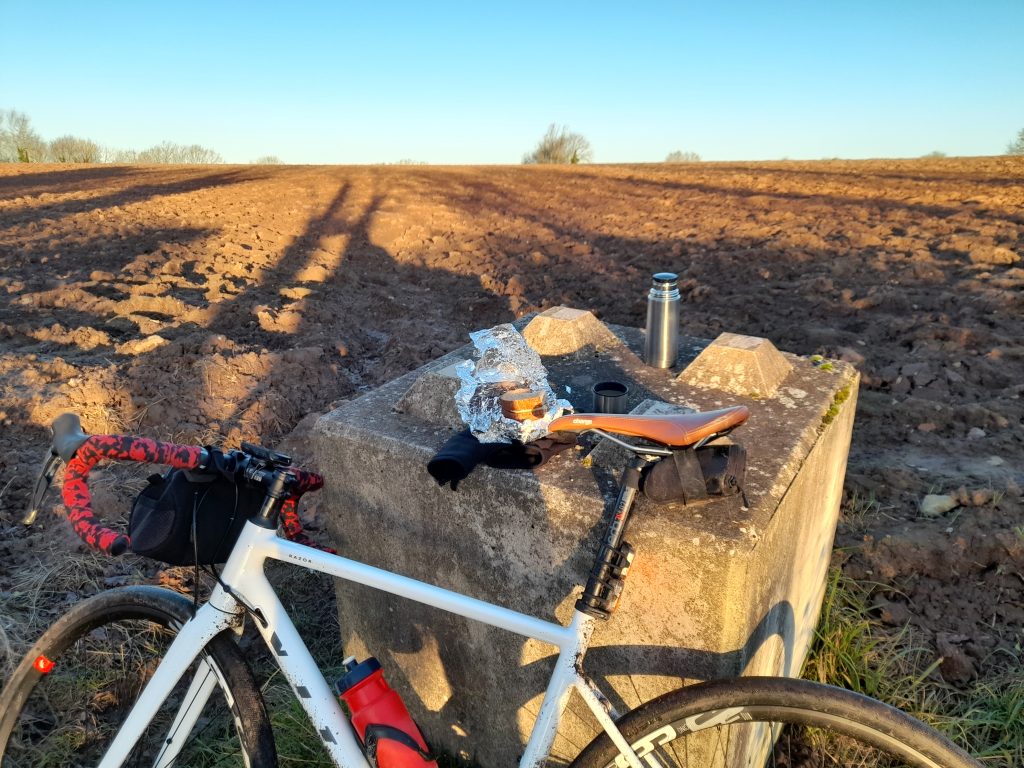
At a spot midway I decided to sit on the grass for a picnic of Quorn slice sandwiches and a banana. At this point a group of ramblers arrived, using the broadening in the track to regroup. As their stragglers caught up, we exchanged pleasantries. One interested member of the group asked about the introduction of disc brakes and we chatted further about his history of time trialing in the 60s and 70s. In the end I had to point out that his comrades were now about half a mile down the road and he made tracks. I wonder if he’s ever read this blog? Maybe I should have mentioned Gravel Notts but didn’t want to appear to be using the opportunity to market the website. I’m far too polite for that.

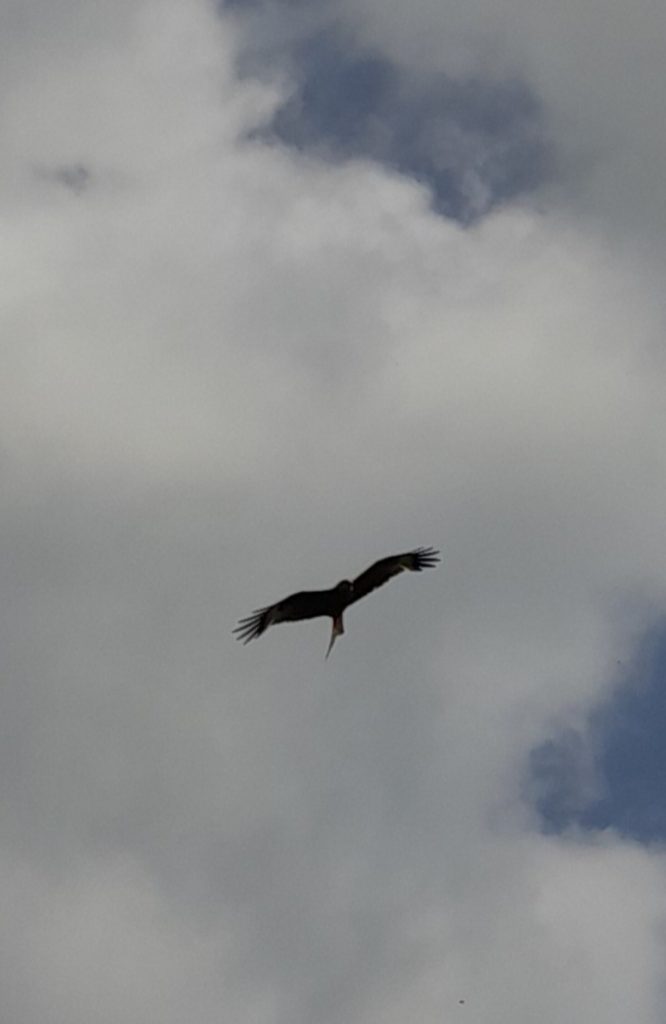
During the ride there was plenty of wildlife. Hares were abundant as were muntjac deer. Muntjacs were released both accidentally and intentionally in the wild from deer parks. They are now on the increase. Red Kites were also particularly common with a few hovering low enough above me to invite a photo opportunity.

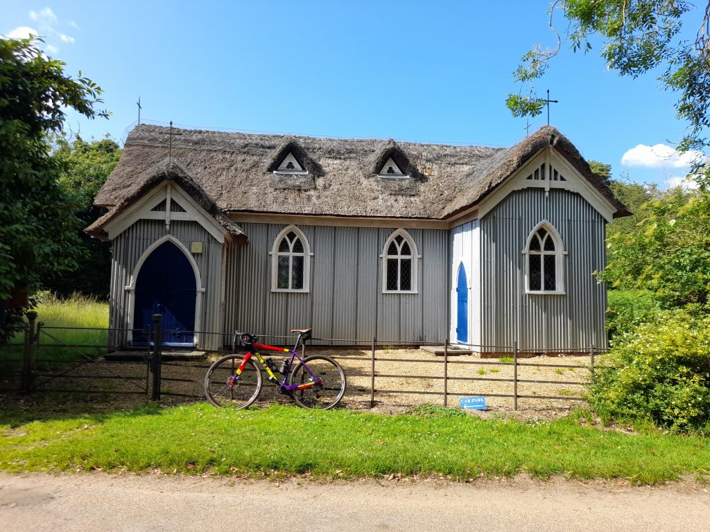
There is a deviation where part of the ancient track is now occupied by a private dwelling adjacent the B1454 at Sedgeford and again shortly afterwards. I then took the final gravel section until reaching tarmac at Ringstead and a short road section to my lunch stop at Old Hunstanton. Cycling to the seaside is something that gives me a child-like feeling of pleasure and comfort. Reaching the coast under one’s own steam is not to be sniffed at. There was also a bonus. The Old Town Beach Cafe served a large selection of vegetarian and vegan cafe options

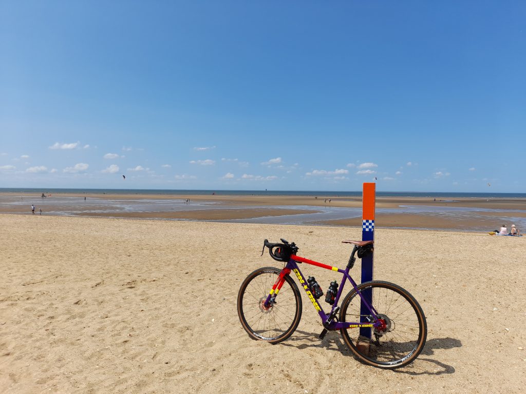
Naturally I had to take my bike to the beach.

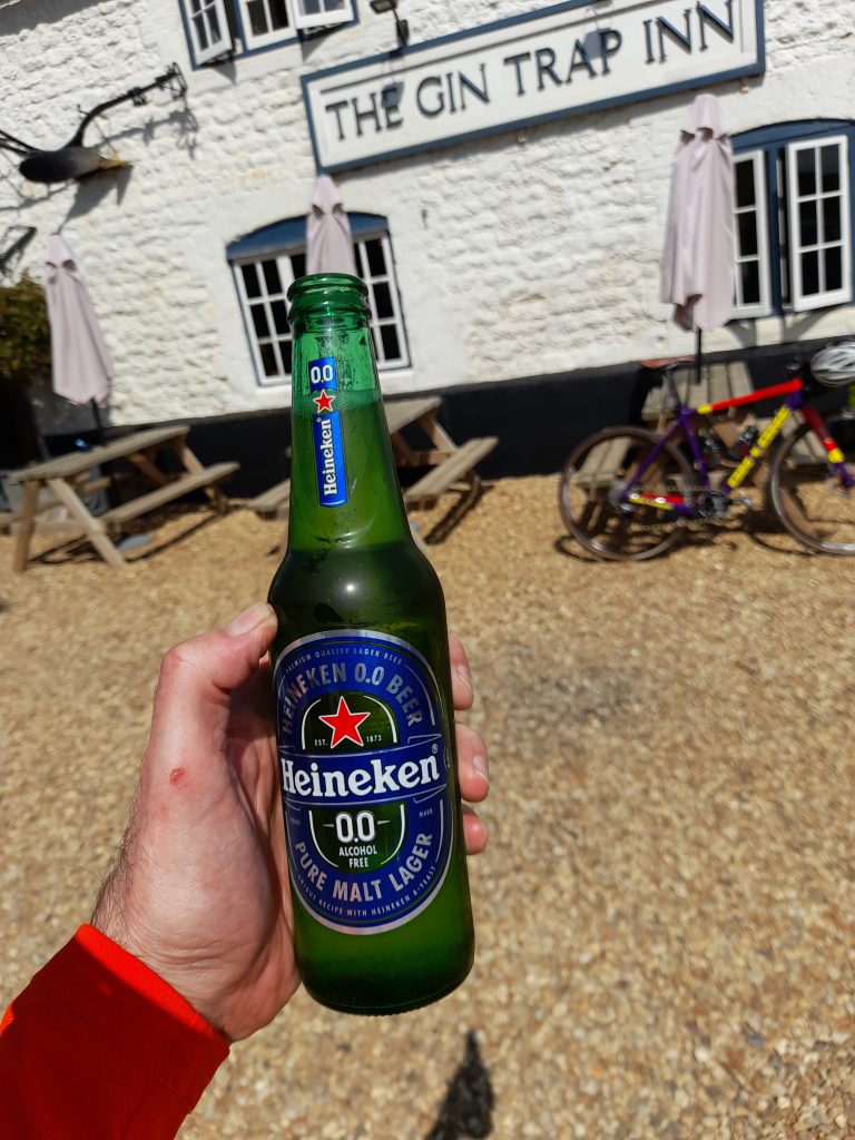
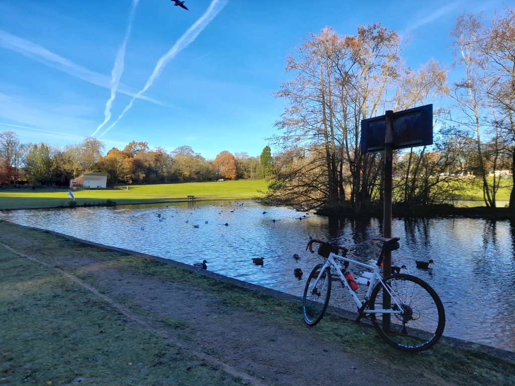
Having refueled I made my way back through the villages gaining a little back in terms of average speed, not that that was important to me. Spotting a picturesque village pub, I took a break and a 0% beer to celebrate an excellent day in the saddle. Basking in a warm summer afternoon with a cold beer that tasted better for having been earned.

Total distance for the ride was a little over 80 km with an elevation gain that was much greater than Garmin had forecast at 745 metres. We’ve had a very dry spring and I would guess the route would be something of a different proposition in periods of wet weather. I would conclude by highly recommending Norfolk for cycling but particularly incorporating Peddars way.

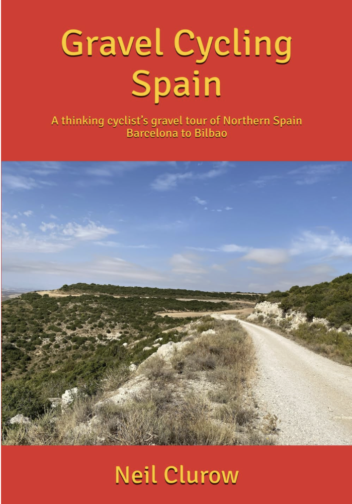
If you’ve enjoyed reading this short blog you may be interested to read more from Gravel Notts. The first book of a planned series of publications is available now. Visit our book shop for more information.

Posted on

Out of Notts – Fuerteventura

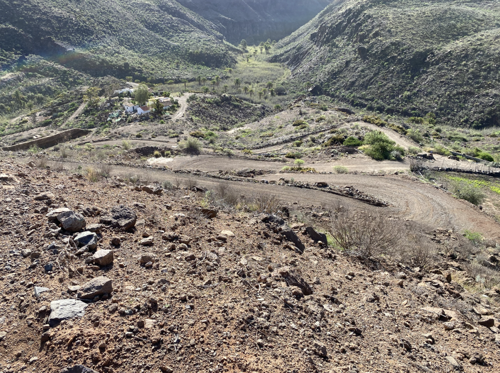
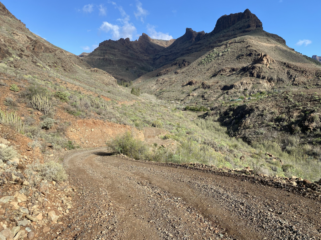
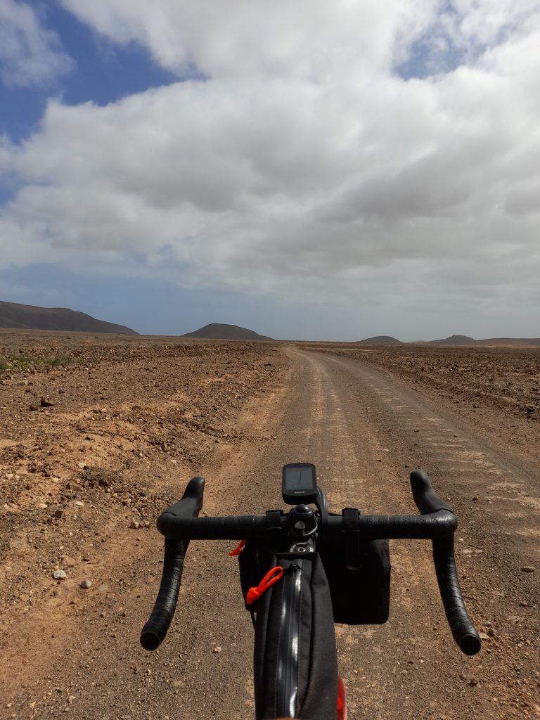
Having kept modest mileage going until the New Year I decided to book myself some warm weather exploration on the island of Fuerteventura, one of the Canary Islands. There were a number of reasons why I chose this location over the more regular destinations of Tenerife . It is relatively flat compared to the other islands but shares the same all year-round good weather, it is inhabited by a population of Egyptian vultures that I hoped to capture a glimpse of and there is an abundance of unmetalled gravel roads. All in all, apart from the four-hour flight, it all seemed perfect and to boot a non-cycling friend and neighbour, Ian, wanted to join me to, in his words, “keep my beer cool until I got back from the rides.”

My background work before setting off for Fuerteventura made interesting reading. Fuerteventura is the oldest of the Canary Islands, formed some 20 million years ago and first inhabited by native North Africans, the Majorero, before invasion by French knights (Jean de Bethencourt) and eventually in 1418 the King of Castile. Throughout this time the island had been persistently raided by North African pirates leading to the population being concentrated inland in relative safety before the current capital city was adopted. The full history of control is complex and includes incursions by the Moors, Portuguese and Spanish. Today the island, like all the Canaries, is part of Spain as an autonomous community and belongs to The Province of Las Palmas (Gran Canaria). The capital of Fuerteventura is Puerto del Rosario, just north of the airport but we stayed at the tourist resort of Caleta de Fuste.

The economy of Fuerteventura was based on wheat and cereals up until the 18th century. Low profits and famine drove many to a better life on the other islands. The main industry is now tourism but the population remains low at 124,00 (2023) given that it is the second largest of the islands.

Fuerteventura is a Biosphere Reserve and a special protection area of birds with endangered eagles, vultures, the African Houbara and stone chats to mention but a few. The Canaries share the same time zone as the UK unlike mainland Spain so there was no adjusting of clocks.

I set out to design some routes that were at least 50% gravel, my altered route to Antigua now falls below that target but for good reason. I utilised both my Garmin Connect app and Ride with GPS to formulate the two main routes. One coast to coast and back and another specifically to an area where I had a realistic chance of spotting vultures, something I have never seen in the wild before. The rest of the rides would just be random exploring to get to know the island.

I was not seeking to ride big miles, just enjoy myself and get a week of consistent cycling in. I figured anything up to 70 km in any day would be enough.

The outward journey went well, flying from East Midlands Airport with my non-cycling travelling companion Ian who decided to join me for a cheap break. Ian, whom I would rename Ian Soigneur was great company for evening meals and a few post ride beers. He was not the most dedicated ‘team soigneur’ failing to clean my bike or provide any training advice. His dietary support usually involved brands of whisky but on the positive side I think I’ve convinced him to have a go at cycling on his return to the UK. On a serious note, thanks to Ian for joining me.

Taking a chance not booking an airport transfer was the correct decision with the taxi charging €17 to our adequate budget accommodation in Caleta de Fuste. Even more impressive was that in my broken Spanish we discussed cycling on the island and the driver showed me his recent downloads to Strava.

So, with some supplies purchased and the bike assembled everything was ready for the following day’s ride, coast to coast.

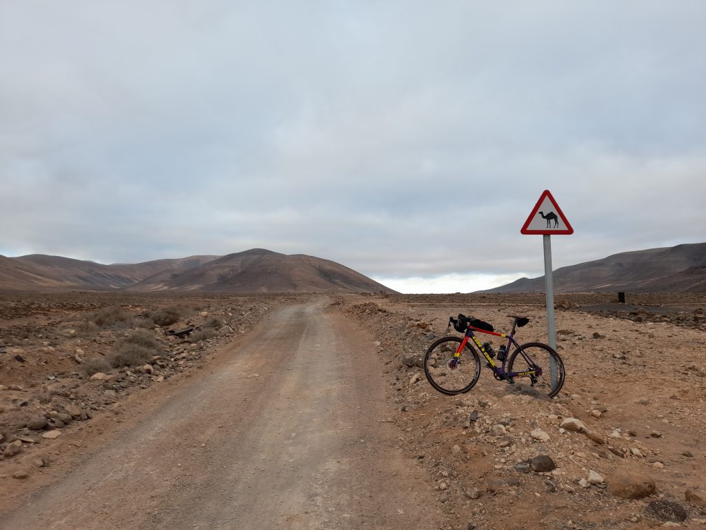
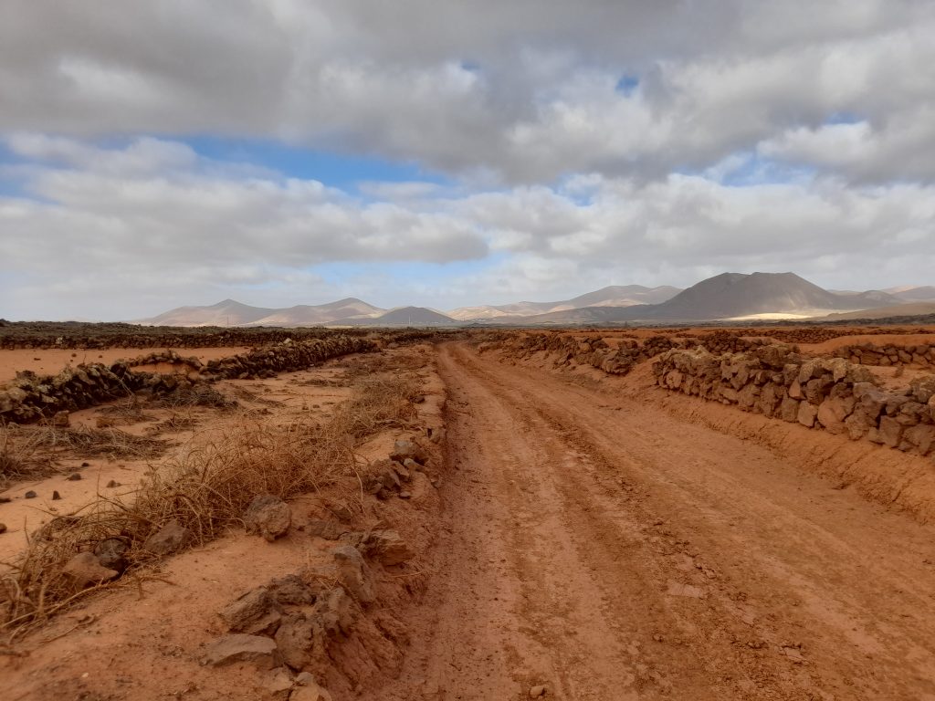
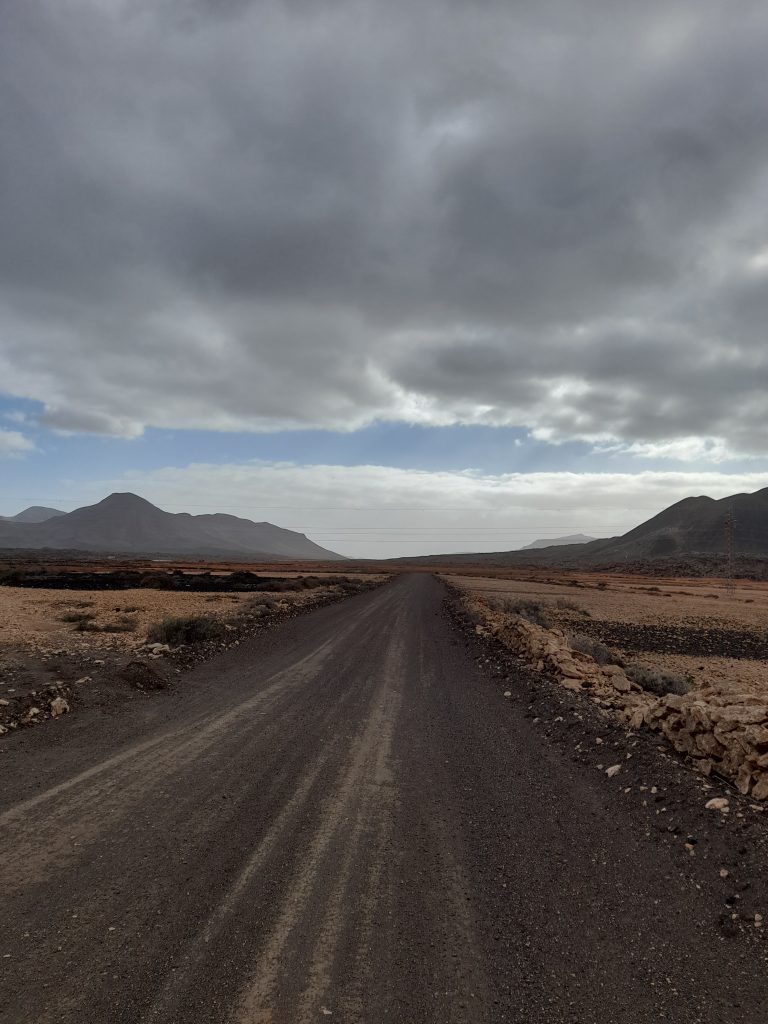
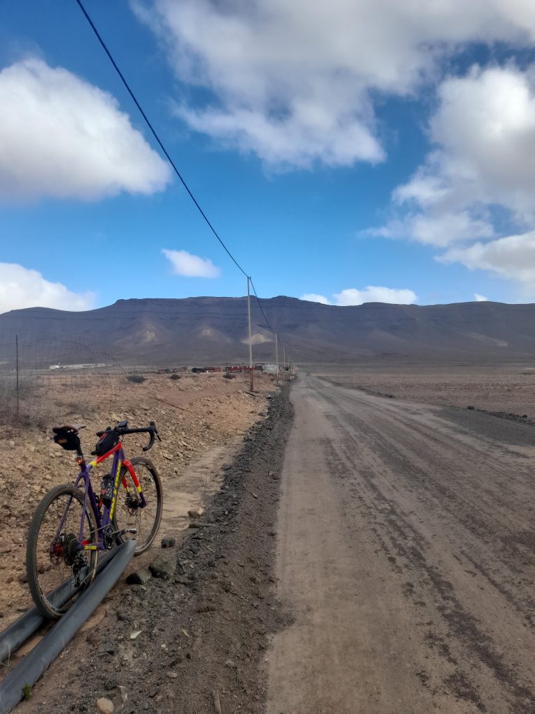
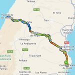
Setting off a little after 8 am the morning sky was overcast but the clouds soon dispersed. For convenience I followed the main road to the airport before swinging left at which point the ride was mainly gravel. The first few kilometres of gravel provided a challenging surface with short sharp hills past the ‘camel milk farm.’ It was however an improving track and a total joy taking me beyond mid-way at Casillas del Angel where the first cafe stop involved coffee and cake.

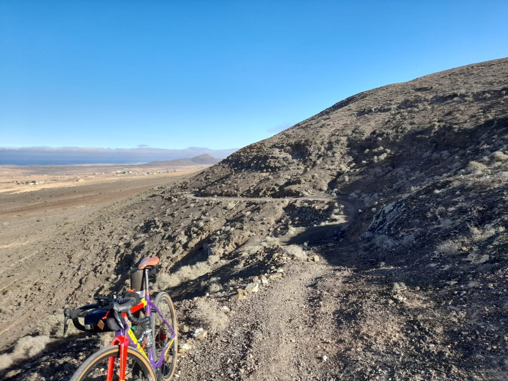
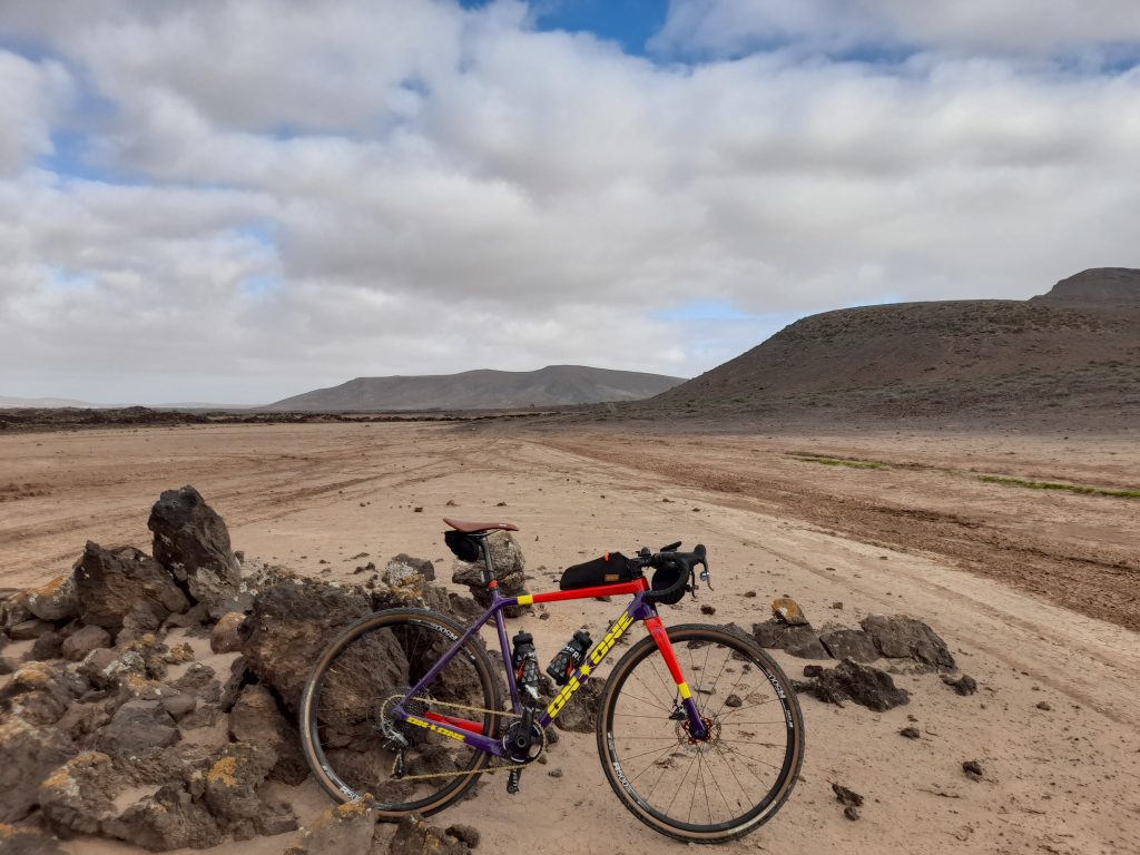
Heading further west out of the village the excellent gravel track left what little tarmac I’d experienced at that point. After a trouble-free ascent of the mid-island mountain range there followed a downward route that was more hiking trail than cycling track. It didn’t last too long before gravel cycling was restored. Keeping to the cautious side of things I walked the most difficult section of about 50 meters.

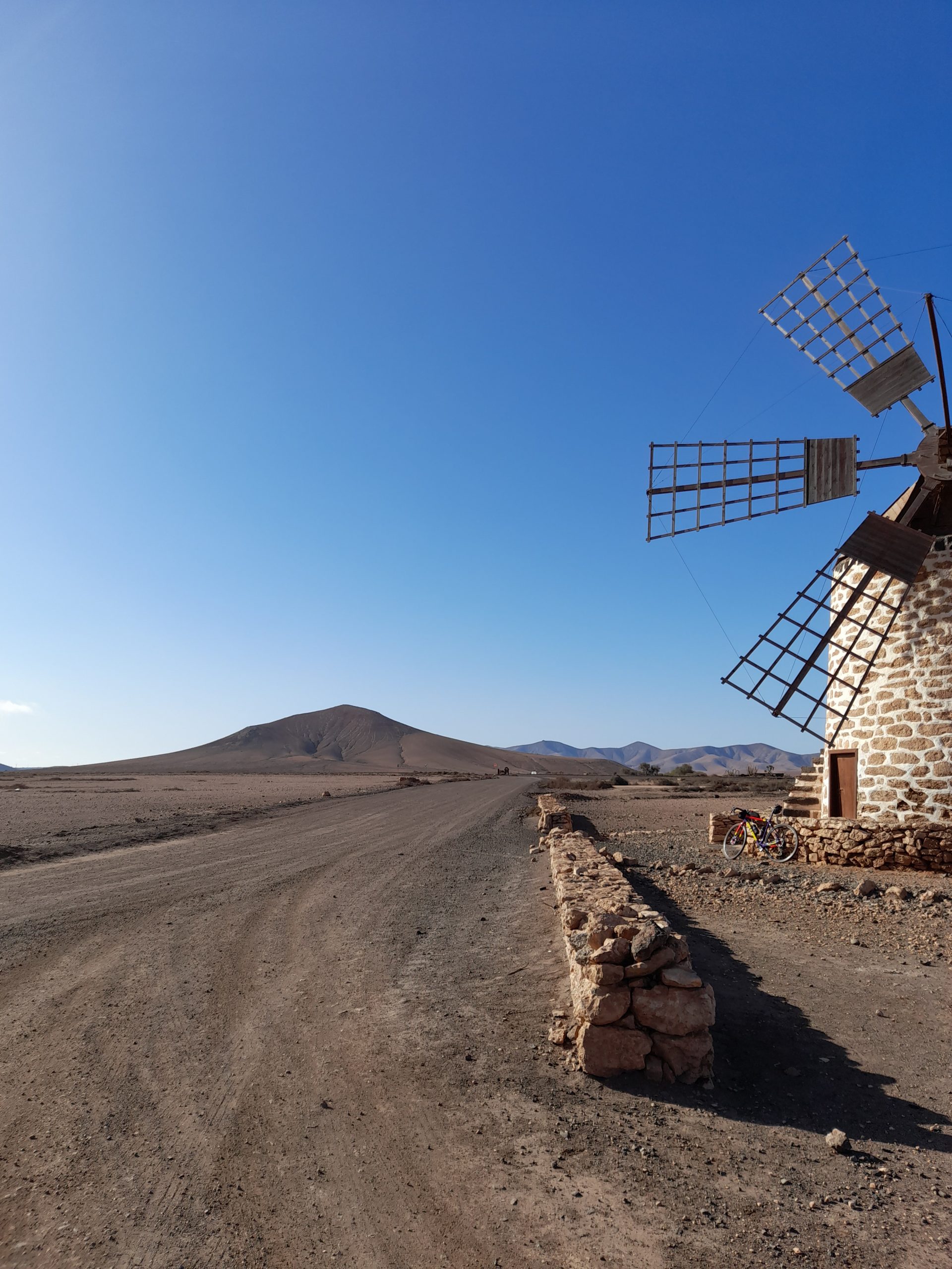
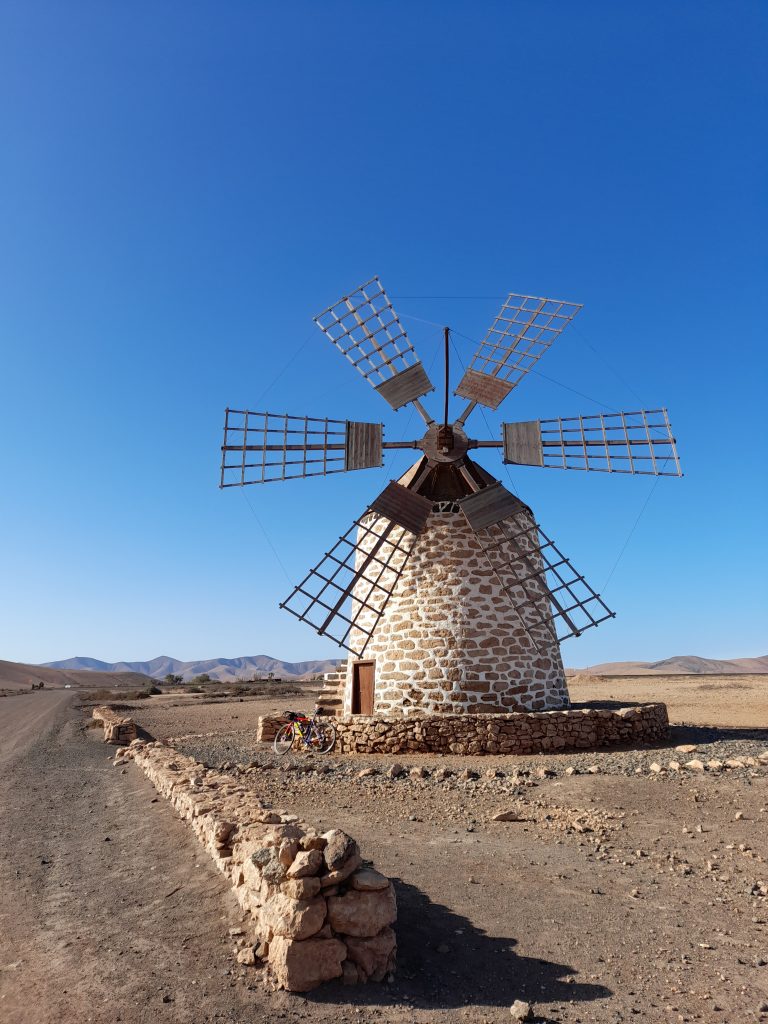
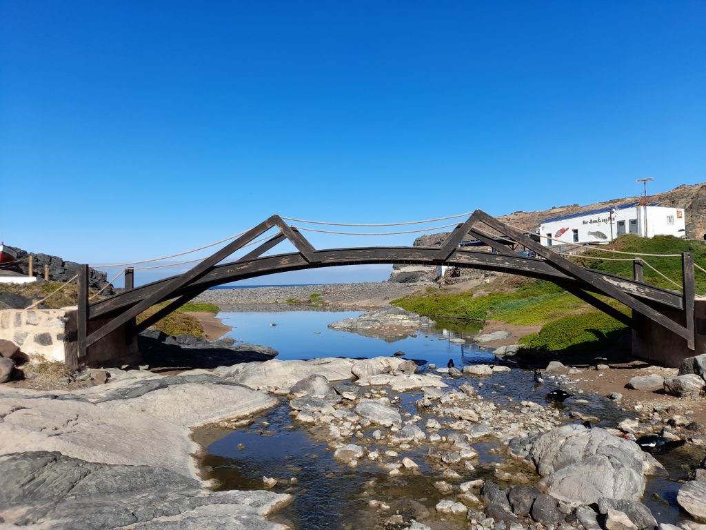
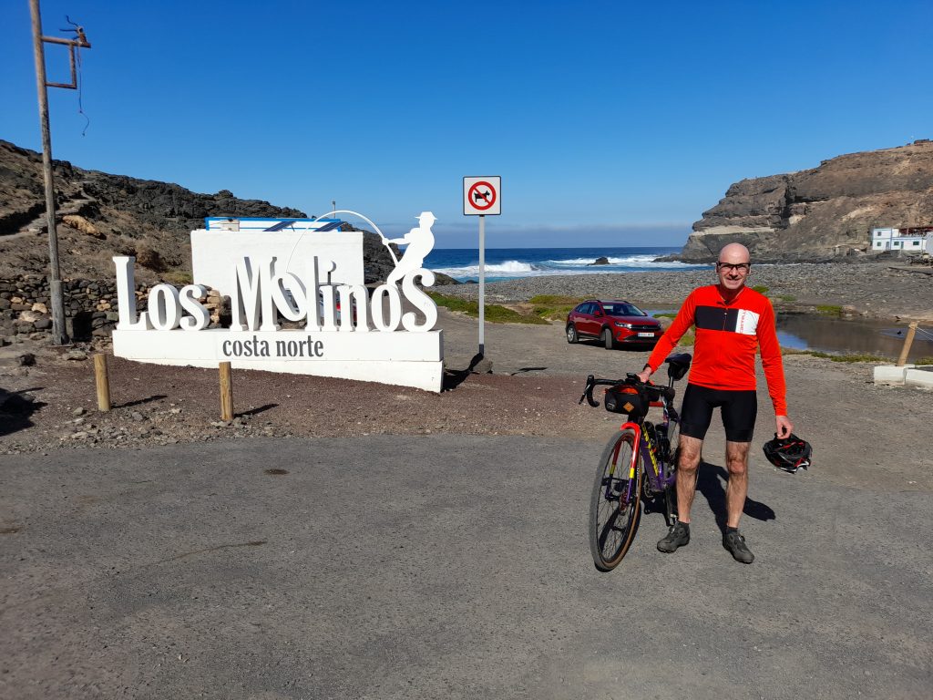
Before me the vast plain provided a clear view of the Atlantic Ocean. After passing a traditional Canarian windmill I picked up the smooth tarmac of the FV-221. It was at this point I caught my first view of Egyptian vultures soaring above in a perfect blue sky. Their distinctive wing markings confirming the sighting. As usual my photographic skills let me down. After a fast descent into the beautiful cove of Puertito de los Molinos and a sandwich stop it was time to repeat the journey in reverse. Four hours of cycling pleasure and my mate Ian waiting with a beer to round things off.

Day two’s ride was a bit of a recovery ride before I ventured back into the interior of the island. A run along the coast to a little bay called Puerto Laja. Heading straight to the shore in Caleta de Fuste and turning north along a dedicated cycle path I realised the force of the wind was going to play a part in the day’s ride. Leaving the resort also left me confused, the trail I had chosen was not rideable so some improvisation was required to get me to the next section of gravel that passed by the airport. This was the point where things improved and despite the strong headwind good progress was made to the capital of Fuerteventura, Puerto del Rosario. Approaching the town, I stopped to watch the barbary ground squirrels busy with their duties. It was also time to eat my warming sandwiches.

Puerto del Resario was a real treat with ferries and cruise ships docked in their mornings. I made full use of one of the many restaurants for a cana (small beer) and patatas fritas. Not my usual cycling fair but I was on holiday.

I then plotted my way further north taking two wrong turns out of the town before picking up yet more coastal gravel to the destination at Puerto de Laja. After a quick break it was about turn and a return to my starting point. The tailwind making the journey back pass in the blink of an eye.

Day three was a rest day to celebrate my birthday and recover for a big day (by my current standards) on Thursday.

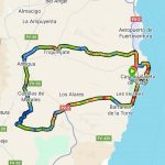
On day four normal service was resumed with a loop of the interior and a half way stop in Antigua. Being propelled along the initial coast stretch without many turns of the pedals was an indication of the wind speed I would be riding against later that day. Garmin registered the wind speed at 43 kph but it felt much stronger in places. As I turned inland along the FV-2 I was grateful for the consideration shown by drivers giving me plenty of space as I leaned into the crosswind.

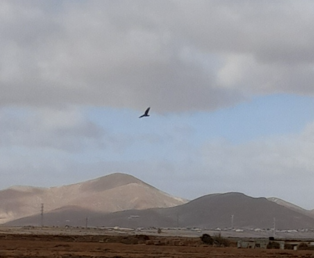
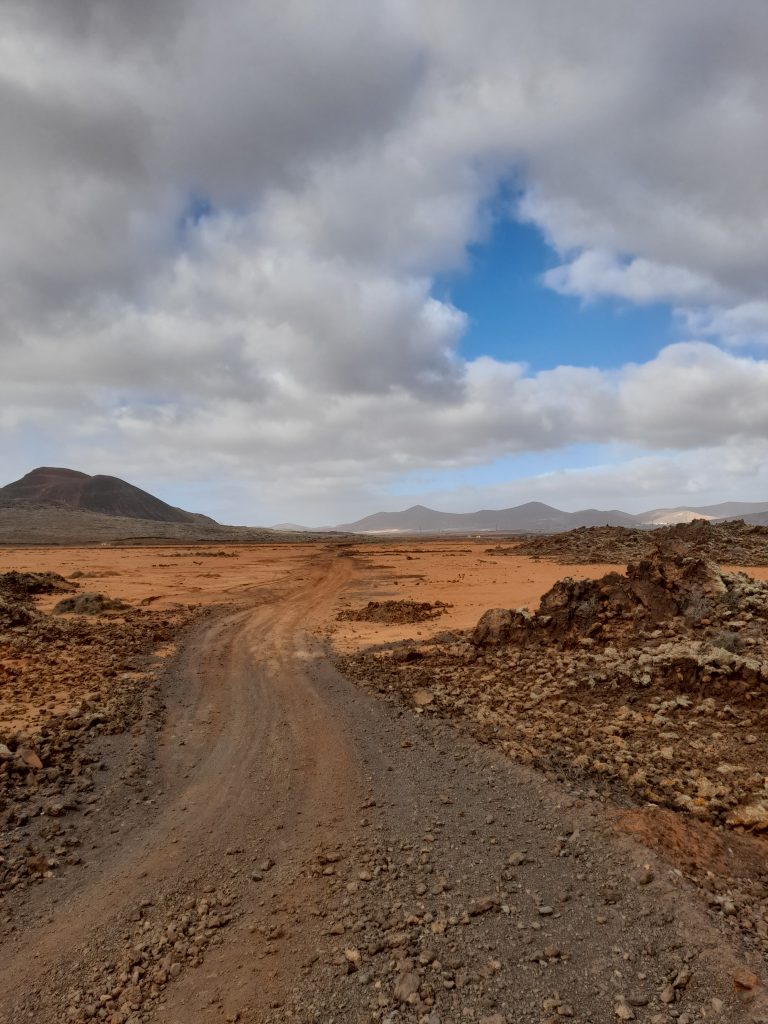
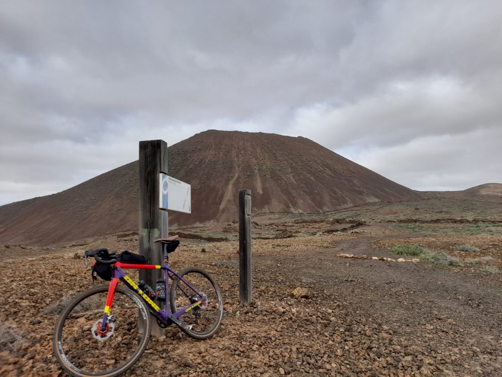
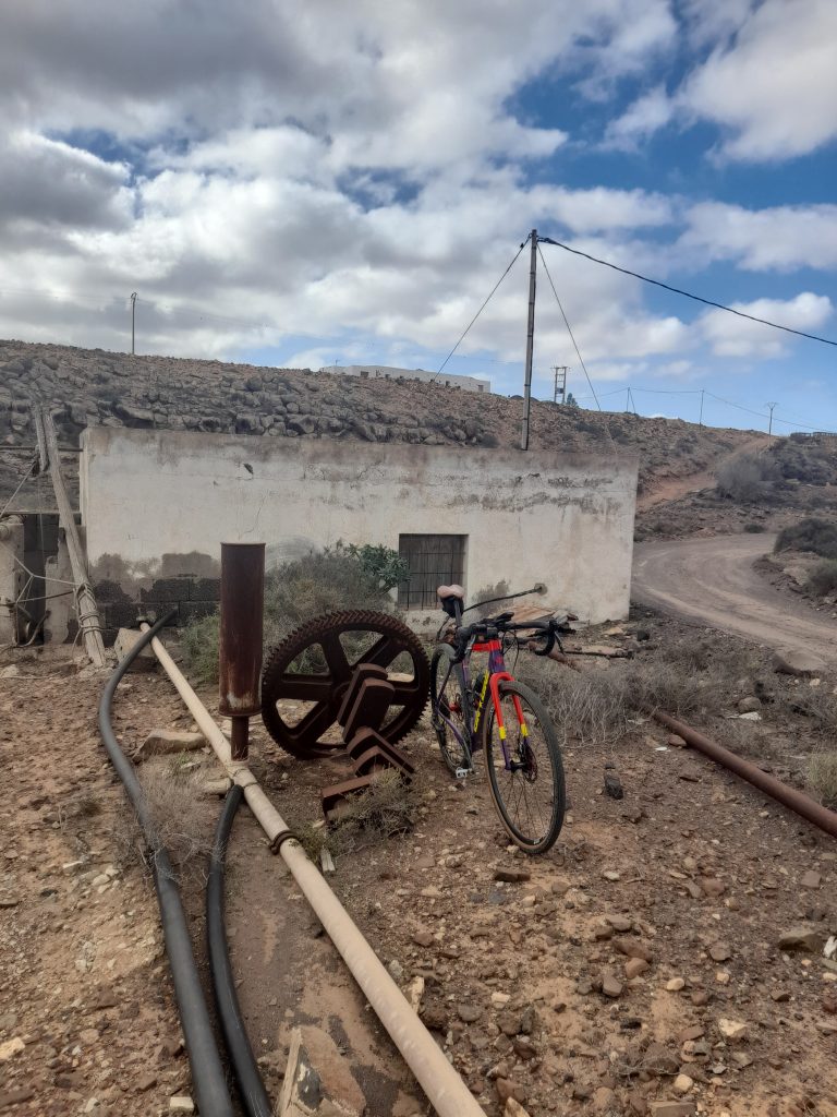
I was also grateful to turn off the tarmac heading towards Tiscamanita passing goat farms and a lunar landscape that was breathtaking. It was at this point I spotted an Egyptian vulture perched on a disused stone tower. As I stopped to get a photograph of this massive raptor it took to the air and made a circular maneuver to glide directly above me about 10 meters high. Once again, my photographic skills let me down by taking a picture before it was at the closest point and then totally missing the bird at the crucial moment. The sighting was a real privilege with the bird’s distinctive wing markings clearly visible unlike the adolescent vulture that was also present yet to acquire it’s adult plumage.

Carrying on I took the planned right hook before Tiscamanita which in hindsight was an error. The trail of large volcanic rock was impossible to ride resulting in me walking for over one kilometre. I’ve changed this on the Ride With GPS provided so that the route continues into Tiscamanita. This quiet road reduces the percentage of gravel but is advisable.

Eventually I was able to remount and make progress against the headwind towards Casillas de Morales, Valley de Ortega and then my lunch stop at Antigua.

Post lunch the gravel and road mixture took me to Triquivijate after which there was a continuous 10 kilometre gravel track towards the coast and then back along the coast for a wind assisted ride back to base completing the 59 km ride. The revised route is a little less.

Day five was a shorter ride out to Triquivijate of about 40 km. Once again blasting along the coast on the way out before turning right for a thankfully shorter stretch on the FV-2 and the deadly cross winds. Turning right to leave the main road towards Los Alares I became confused for a while as the track looked like it had been obliterated by a large digger. Eventually I found my way onto the Cam.Buenavista and past the animal sanctuary. The gravel was good and smooth enough to make progress.

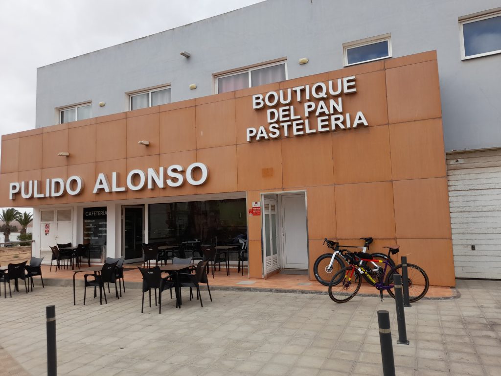
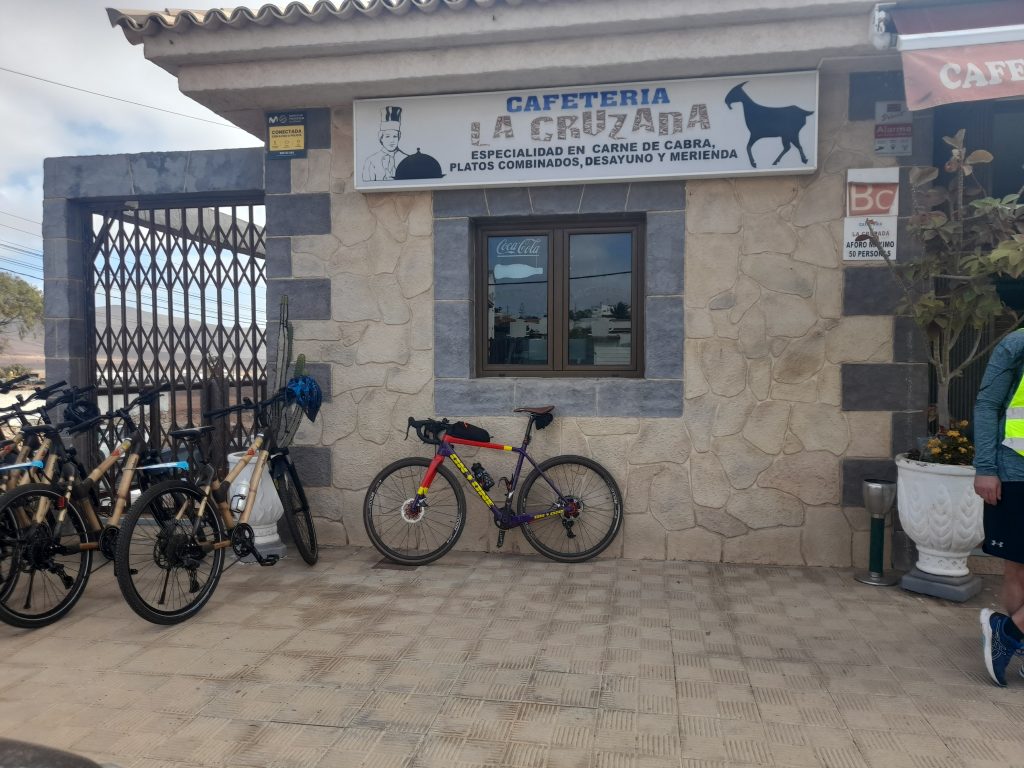
Arriving at Triquivijate I found a pleasant small town with an excellent coffee stop that I had spotted the day before. On arrival I was met by a large group of tourists from a cruise ship docked at Puerto del Rosario. They were on an excursion on bamboo bikes made by Myboo. After coffee and cake, it was back to a mixture of trails and the FV-413 back towards the coast to complete my winter cycling adventure in Fuerteventura.

In summary the island is a great destination for gravel cyclists and I could have planned much longer routes. However, be aware that this is a windy place and the crosswinds were very challenging at times, maybe I was just unlucky. My most enjoyable day was the coast-to-coast ride of about 70 km. The enjoyment was helped by this being the least windy day. There was a section that required me to walk for a few hundred metres but all in all a great route.

Day four was my other major objective. As stated, I have amended the route to take out a very long unrideable section whilst retaining the fascinating and isolated track that provided a close encounter of the vulture kind. This ride offers the least percentage of gravel but the sections that are will take your breath away.

If I were to return, I’d probably base myself in Puerto del Rosario that has a much more Canarian feel to it than the mainly British resort of Caleta de Fuste but remaining close to the airport. Having said that, the accommodation was cheap and acceptable, there were plentiful restaurants to choose from and located midway along the east coast the resort was an ideal base for cycling adventures.

All in all, I’m glad I did it.

Coast to Coast (and back)

Antigua Circuit

Posted on

A summer tour to Lincoln

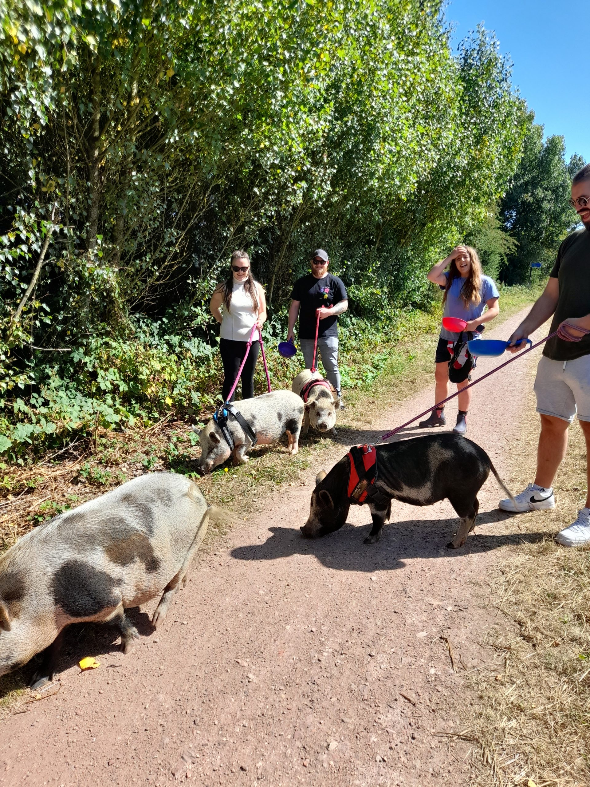
Setting out on a warm summer’s day in early August for an overnight stop in the City of Lincoln was no hardship. I was buzzing at the prospect. The first part of the ride will be familiar to followers of Gravel Notts. The ride out of Hucknall or Nottingham if you are based there utilising NCN 6 through Newstead Abbey, Blidworth and north to take National Cycle Network (NCN) 645 east towards Bilsthorpe is regular and delightful ground. The forest cover providing shelter from the early morning sun was appreciated as I knew there would be little shade after crossing the border into Lincolnshire. The only unfamiliar sight was being greeted by three ladies and a gentleman walking their pigs as I approached Bilsthorpe village. They were all well behaved and happy to pose for a photograph. This is Nottinghamshire so expect to expect the unexpected. The conversation started with, “I saw you guys on East Midlands Today” (a local TV News Programme). To which we discussed how well behaved the pigs where and thanking them for their time.

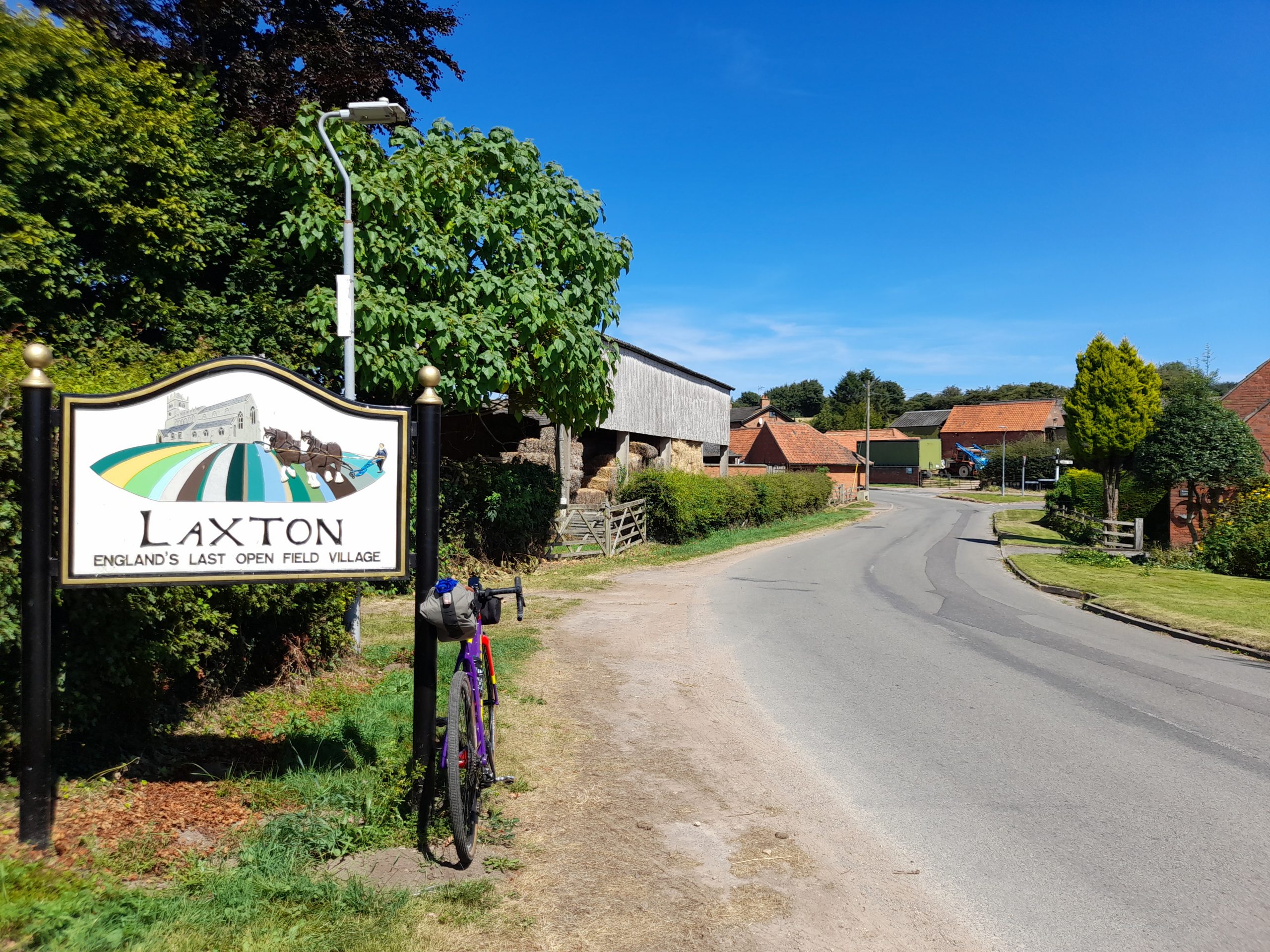
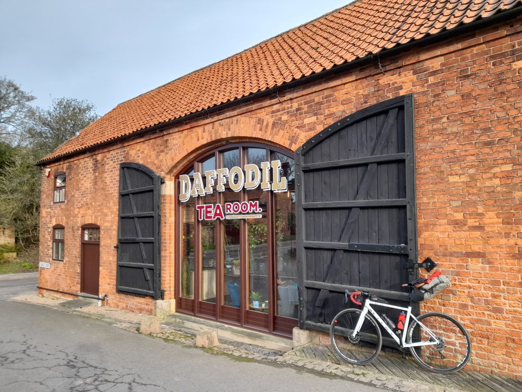
Having admired the drove, I had to look up what you call a group of pigs, the route continued until a planned refreshment stop at the delightful Daffodil Tea Rooms in Eakring. Having fuelled up I then headed northeast, on the quiet lanes through multiple villages, Kneesal, Laxton, which claims to retain the only open field system in England and Egmanton before heading directly east avoiding Tuxford on this occasion.

The addition of the town of Tuxford would have provided plentiful cafe stops but, on this occasion, I was still feeling full from my visit to the Daffodil Tearooms. I was also enjoying making good wind assisted progress along the unclassified lanes so a visit to Tuxford can go on the to do list although I have visited it many times before.

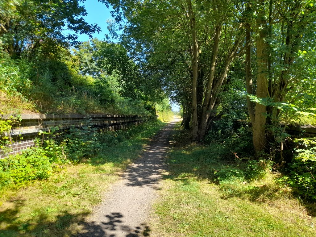
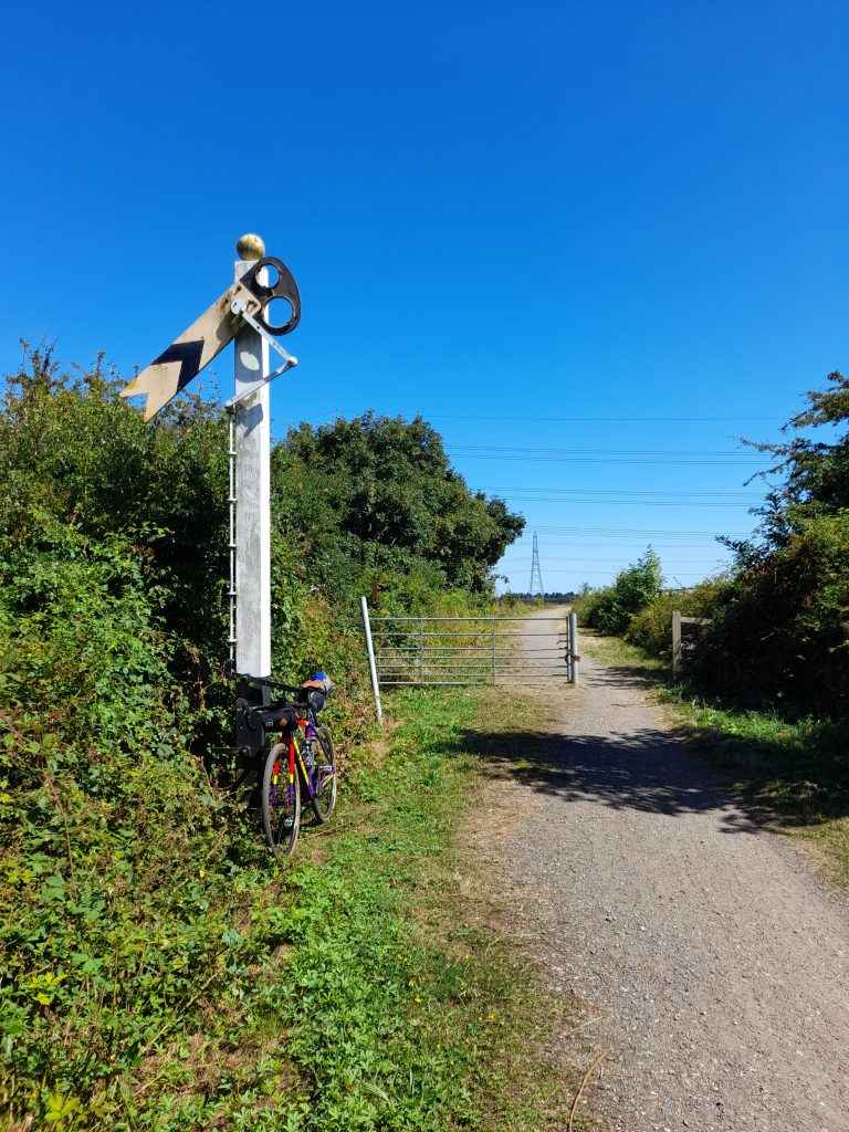
The last village before crossing the River Trent at Fledborough was Skegby followed by a slightly bumpy section of NCN 647. This then gave way to a gravel track heading towards the Fledborough Viaduct. This abandoned railway line that once ferried passengers to the historic City of Lincoln is littered with ghost railway platforms. The first is situated at Marnham which feels a little eerie now it is nestled in woodland that has taken over the platform. I stopped for a while to take a photo and enjoy, probably the last shade of the day.

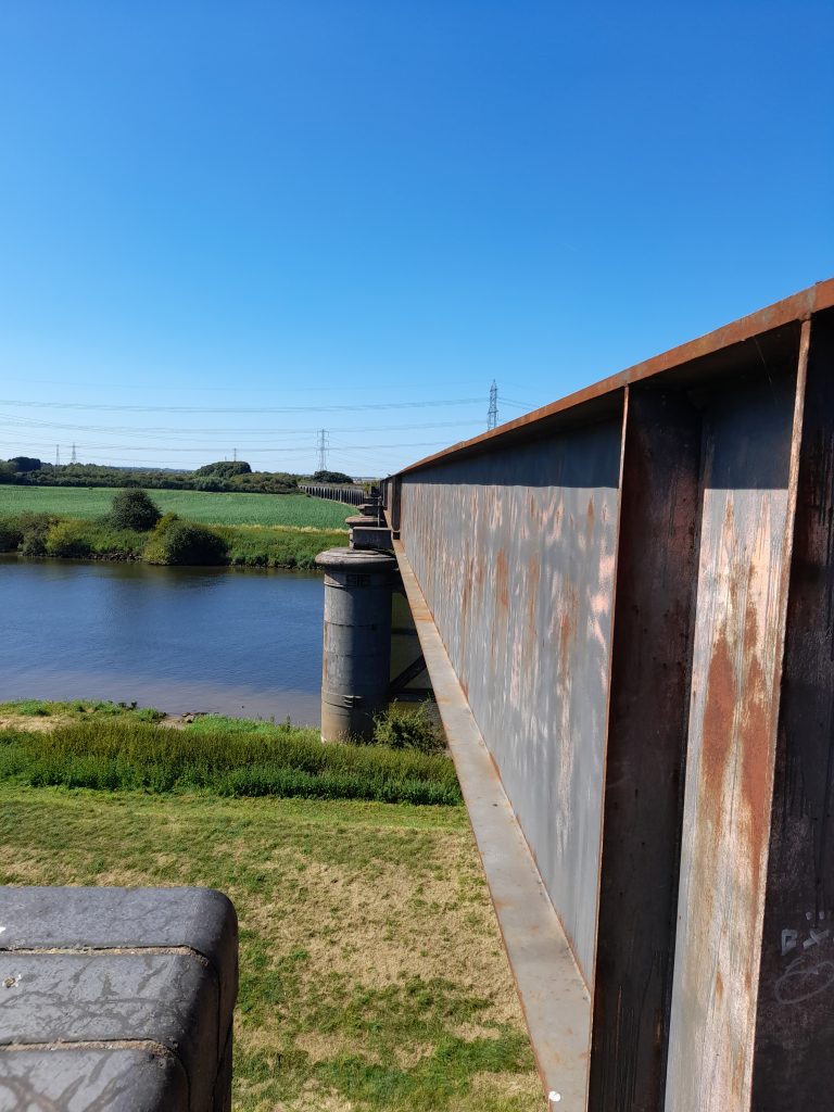
As the Viaduct passes over the great River Trent, I was surprised at how little of the River I could see but grateful for the excellent gravel surface it provided. The opportunity to snap a quality photograph of the viaduct (that I will save for the book) could not be missed however and so it was then that I found an exit path on the east bank from which I was able to find a vantage point to view the viaduct’s vast expanse across the water. Fledborough Viaduct is an interesting structure of brick and iron. It not only stretches across the river but also the extensive floodplain that lies on each side of the Trent at this point.

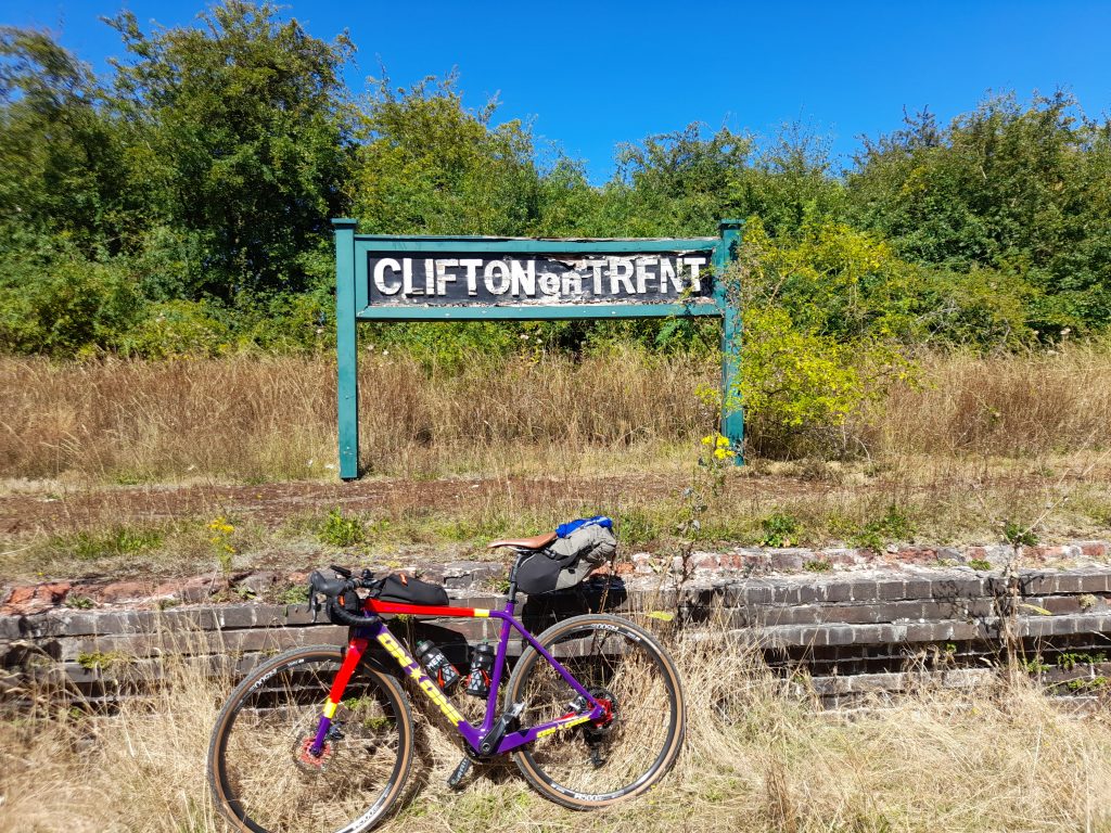
At this point the River Trent is nearing its destination to the Humber and is deep and wide. I too had a destination to reach so it was back to NCN 647 that meets NCN 64 north of Harby and onwards towards Lincoln. Once over the border the going is flat for the remainder of the journey. North Nottinghamshire’s undulating lanes give way to flat gravel. On this occasion, with a tail wind to boost progress. It’s not long after passing over the river that I approached the second abandoned railway station at Clifton on Trent. The platform sign still remains but I had to straighten the letters for photographic purity. In hindsight wonky letters may have been more authentic.

And so, the journey continued, perfect dusty gravel until the next notable settlement of Skellingthorpe. Passing through the village only brief glimpses of the habitation are noticeable as I rumbled on along the 16 km of straight gravel until I finally had to take a right turn under the A46 to pick up Foss Dyke taking me directly into the heart of Lincoln and the vibrant Brayford Pool area. The last section of the route into Lincoln is also interesting as Foss Dyke is a navigation with boats moored up of differing type and size.

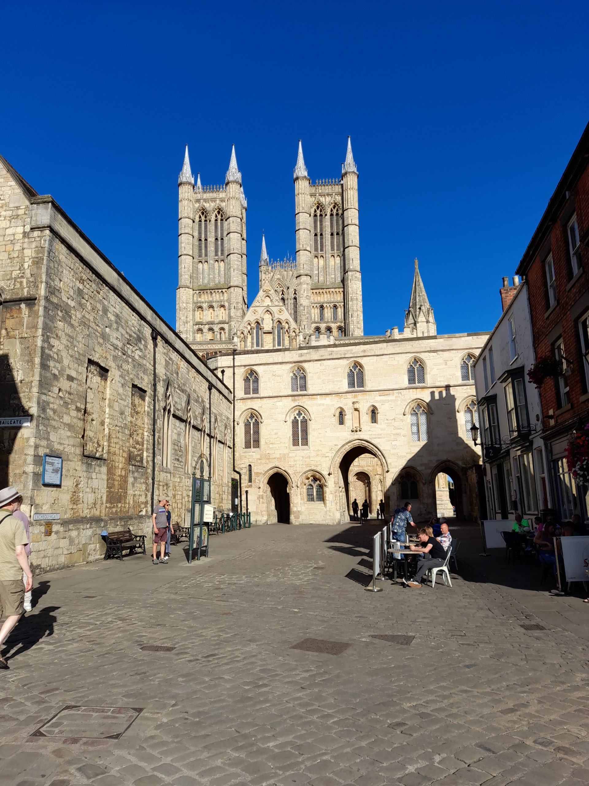
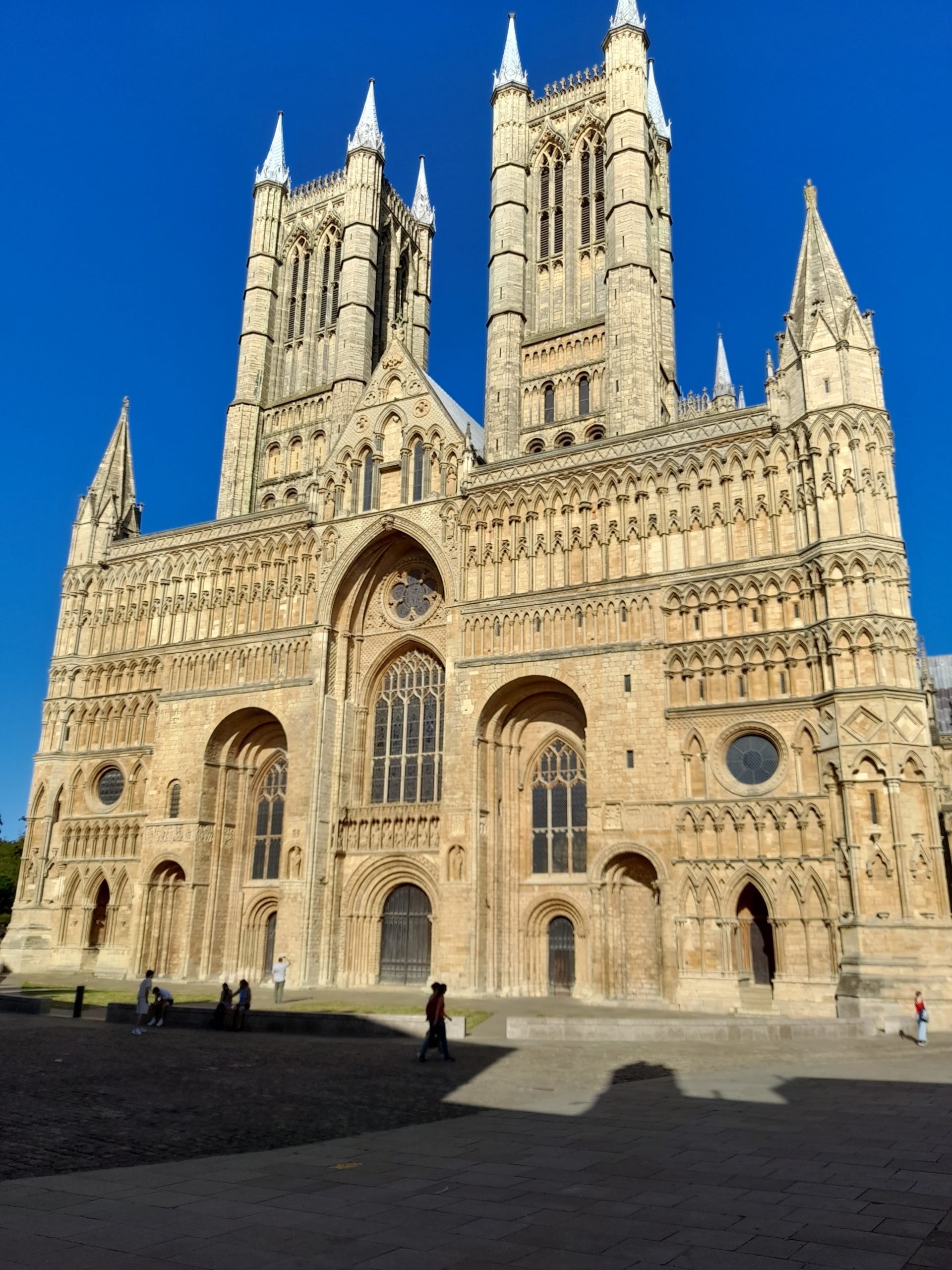
After finding my accommodation for the night, unpacking and a quick shower it was time to wander around this beautiful city, take a look at the cathedral and admire the remains of the city wall, oh and find somewhere to eat which wasn’t difficult. The sunlight made the historic buildings seem even more picturesque. A walk around the historic part of Lincoln is challenging. I guess Steep Hill acquired its name for a reason. It is claimed to be the fourth steepest street in the country. I have cycled up it before and watched the Lincoln Grand Prix riders race up it but this evening walking the steep cobbles was enough of a challenge.

Whilst eating my evening meal I was able to reflect on the 65 km ride. I enjoy cycling with friends, sharing a beer and banter in the evening but there is also something to be said about being a solo traveler. It gives me inner peace and satisfaction. This route was an absolute joy, definitely one I will choose to take again.

The evening was also a time to relax and consider my options for tomorrow’s return journey. Maybe the long way back via Newark on Trent?

And so, the morning came. As I often do, I made a journey on foot to the local supermarket to buy supplies for the day and a makeshift breakfast to eat in my room in the well-known hotel chain, which was very nice and central may I add. The main bonus is being allowed to take your bike into the room itself.

Setting out it was another warm humid day with severe thunderstorms forecast for the afternoon. I had made a decision that evening. Given this was my first overnight ride since surgery early in the year, and I ‘d only recommenced cycling in mid-June I was going to take the train to Newark and ride back home from there.

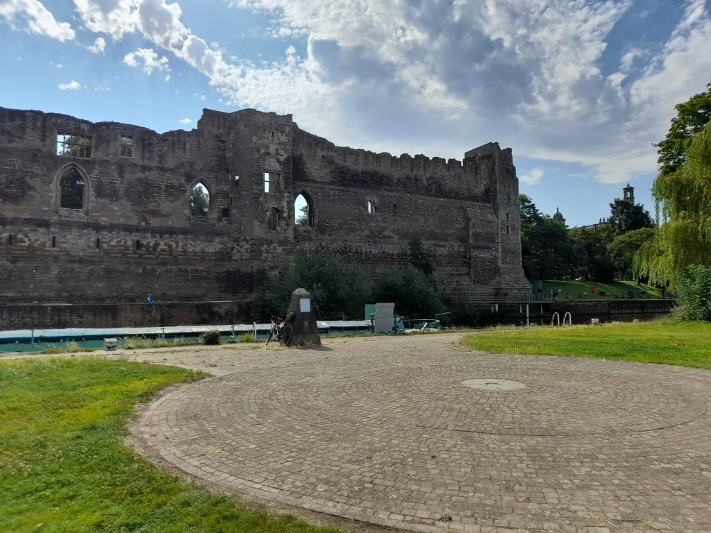
The train ran smoothly and I was able to get a seat next to my bike, perfectly. Alighting the train at Newark I decided to eat my provisions in the gardens facing Newark Castle before heading initially north along the banks of the River Trent before crossing over to pick up NCN 64 (south) and head west towards Nottingham. The NCN 64 is a tarmac traffic free surface from Newark Northgate Station and follows the abandoned railway line until Cotham. At that point I diverted from the NCN route and made my way through the lanes until I was pleased to join a gravel byway by the name of Baxter Lane that provided the day’s first meaningful stretch of gravel until the village of Hawksworth.

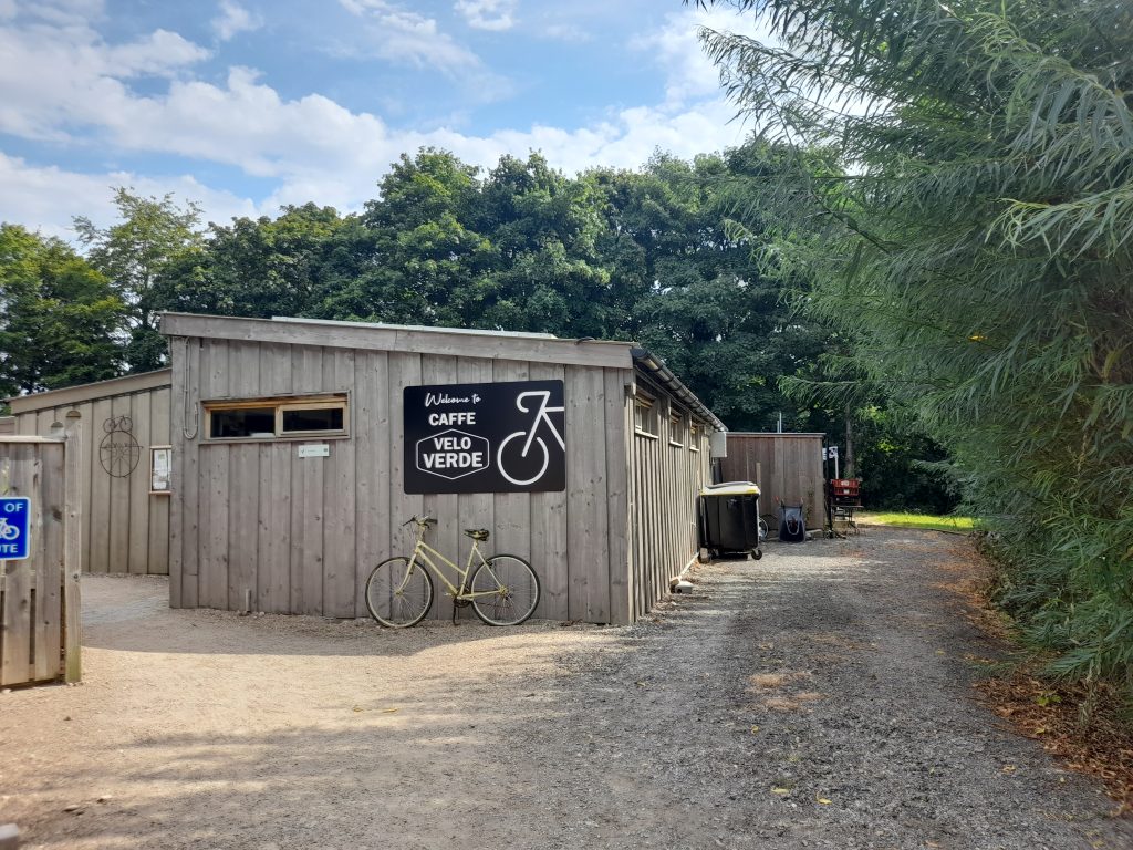
Now at this point my plan was to stop off at Screveton for a refuel at the cycling mega cafe that is Cafe Velo Verde. Unfortunately, this was a Monday, the only day they don’t open in the summer. Luckily, I had saved some of my supplies bought in Lincoln and made do with the snacks I had preserved and a drink from my biddon.

Setting out from cafe Velo Verde I could see that the thunder storms forecast was threatening. The rain visible in the distance along with forks of lightning and loud claps of thunder progressing ever closer. I prepared myself mentally for a soaking. Any cyclist knows the feeling, there is no way out of this one, nowhere to shelter of any meaning and a long way from home. It’s summer, you have your lightweight shoes on, a flimsy wind jacket, short sleeves and bib shorts. However, as I neared Gunthorpe bridge to cross the Trent for the third time on this tour I was becoming hopeful that I had, somehow, dodged the storm. This was confirmed as I rode through Lowdham and Epperstone where the roads had clearly had a soaking before my arrival. As cyclists sometimes we just get lucky!

All I had now to do was to climb the north face of Bonner Hill, descend into Calverton, up and over Gravelly Hollow and, after cutting through Burntstump Park I was cycling over Papplewick Moor and home. The route was a mere 50 km on day 2 but I had completed my first post-surgery tour and felt pretty happy about it. However, my first reaction was not to philosophise but to say to myself, well done chap, now, what’s next?

As for the route, I can highly recommend it, especially the Nottingham to Lincoln via the Fledborough Viaduct. Such long stretches of good gravel are rare. It flat and deposits the rider into a beautiful historic city with plenty of options for onward travel or a return loop. What more could a gravel cyclist ask for?

Posted on 2 Comments

Gateway to the next stage of a cycling life

So you’re a cyclist, just about to turn 60 years of age and your friends from the north of Nottinghamshire invite you to join them for a celebratory curry. You of course accept but how do you get there? Obvious really, turn the whole occasion into a three day gravel tour of the county. OK, it’s winter so best keep it short but having started cycle touring in the gloriously warm summer of 1976 cycle touring seemed a fitting way to mark my milestone, even a very short one. It’s just a shame I wasn’t born in June or July! Even more a shame that I currently can’t get travel insurance for medical reasons, otherwise I’d have made Spain a winter tour of my choice.

The chosen tool was not based on suitability but simply the bike I ride in winter to save my more expensive steeds from the punishment of a British winter. The main downside of this is a bike fitted with road tyres, albeit 35mm maxing out the road orientated frame form the bargain end of the Vitus range.

So with Travelodge hotels booked I have one duty to perform before setting off. That was to visit my father and wish him happy birthday also on what was his 87th such occasion. This is where the problems started, with winter bike packed and the roads dry I decided to pop up to see father on the recently refurbished ‘best bike.’ On the way back and almost home out popped another cyclist from a side path, with quick thinking I managed to dodge a head-on but not enough to stop a shoulder bump that sent us both flying. Now, I’m not going to get into the blame game but if you’re pulling out into a road check both ways. I was just giving a pedestrian a wide birth as there is no footpath on this particular stretch. This positioned me more to the right than I would normally have been and into the path of the other party to the crash. Anyhow, no injuries were evident, only a scratched derailleur but that still pained me as I like things to be perfect.

Day 1: So on a slightly downbeat note I set off on the first leg. As soon as I left the main road and made my way across Papplewick Moor the feelings of angst melted away, there’s always a joy about setting off wondering what the journey would bring. my first goal was to reach the Daffodil Tearooms for a refuel. The route there was via Blidworth then joining National Cycle Network (NCN) Route 6 followed by NCN 645. This is a course made up made up mainly of disused railway lines, the latter with a distinctive crushed red brick and perfect for fast gravel riding and good drainage in winter. At the end of NCN 645 a short road section from Bilsthorpe to Eakring saw me arrive at my halfway destination and a warm welcome. There’s one thing about being born and bred in the town of Hucknall, wherever you travel you’re bound to meet someone else from Hucknall. Whether in Spain, at an M25 service station or a village in a remote part of the UK I have often had a conversation that turns out to be with someone from Hucknall. We’re a bit like the Irish, there’s some of us in every corner of the globe. OK, I’m milking this one, it’s only 25 km from home.

Anyhow, today was no exception and the delightful member of staff (from Hucknall) chatted with me about our shared knowledge of the home town and how the tearooms were popular with cyclists, including large club groups (large groups please phone ahead). I can see why the location is popular and went on my way refreshed with food and faith in mankind. I do recommend this as a stop-off for any cycling tour of Nottinghamshire. Not only is the food good but the location is very nice and conveniently placed close to the National Cycle Network as well as surrounded by quiet lanes.

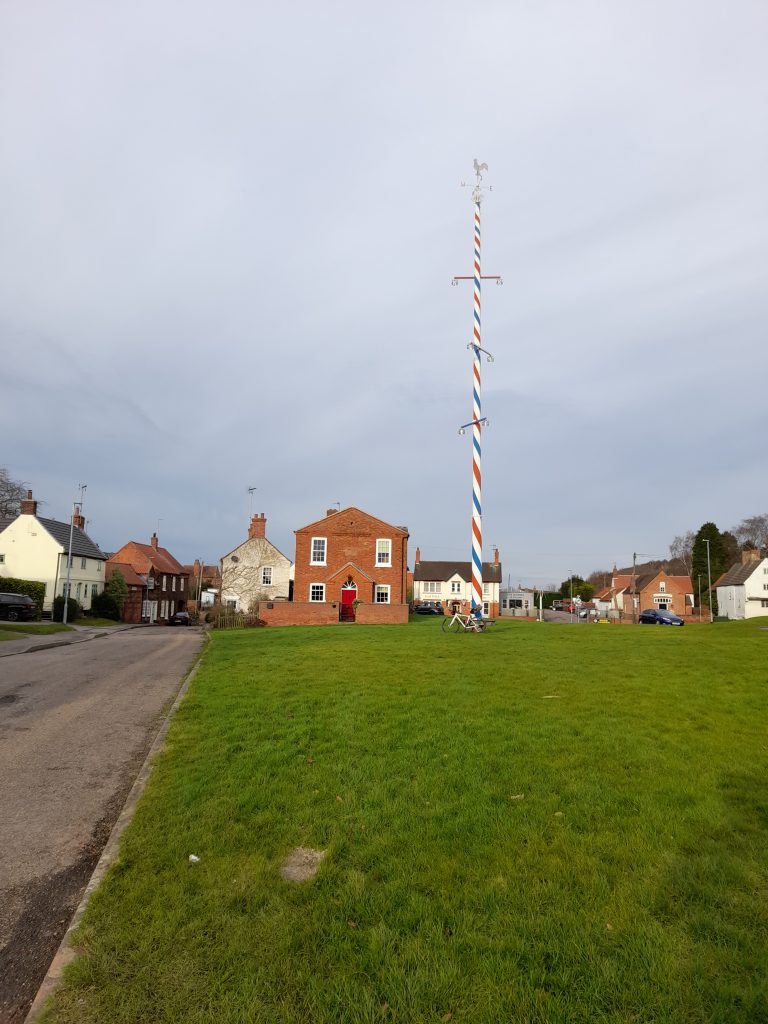
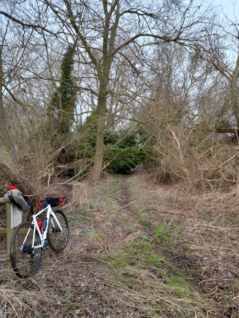
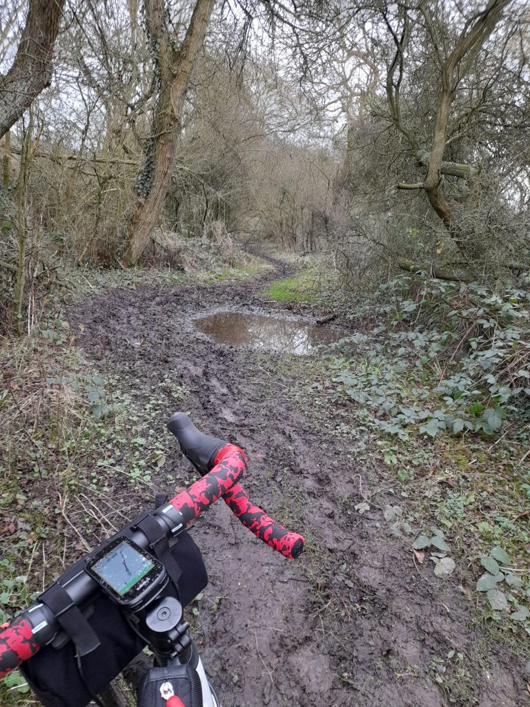
The second stage of my journey also seemed to be going well as I progressed toward the delightful village of Wellow with its tall maypole. This must be one of the tallest maypoles in the country. Passing the village green that is so typically English I took a right onto the main road before locating the intended bridlepath. This is where the route went a little off message. It was obvious from the moment that I turned into the bridleway, just east of Wellow that this was going to be a challenge. The fallen tree across the path was a fair indication of that. Having hauled my fully laden bike around the tree things started to get boggy, and then things became a little boggier. There was hope a gate followed by a gravel farm track. A few hundred meters that allowed me to remount and ride for a short while. But that did not last and having resorted to pushing once again even that became impossible. I had to fight with the stickiest of sticky mud on sticky mud lane, you get my point. Mud was jammed between fork crown and tyre, chain stay and tyre. I guess there was over one kilometre of pushing and lifting and unblocking before I finally emerged on a lane just west of the National holocaust Museum. Where I rested my bike on the truck of a fallen tree.

After a clearing off excess mud, by this time the bike was more muddy brown than white and eating a energy bar I set off on the final leg that thankfully was quiet tarmac lanes towards the Travelodge at Markham Moor. The relative ease of perambulation with a brisk tailwind was appreciated to the extent of cycling bliss. I now had a concern that the hotel would not allow such a dirty bike into the room so after surveying the petrol station opposite managed to employ their screen wash dispenser to clear away the worst of the mud.

The tidy standard room of a Travelodge, shower, enjoyable meal at the Eastern Dreamz restaurant and a good nights sleep prepared me for Day 2.

Day 2: Leaving the Travelodge on Day 2 I was greeted with a damp day. There was no rush, I had a very easy day planned reserving energy for a night out with friends in Worksop. I did however have the goal of visiting the new footbridge at Hardwick village before exploring Clumber Park.

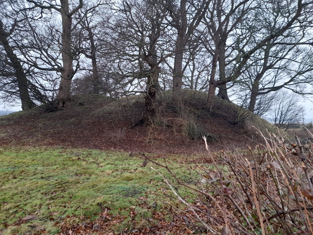
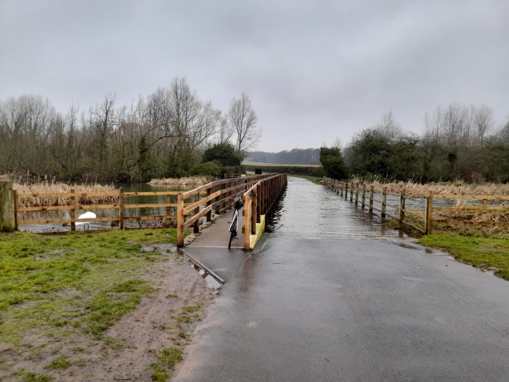
The first section was via quiet lanes through Milton and the old road of the now demolished Bevercotes Colliery. After a few miles I arrived in Bothamsall and a stop to view Castle Hill, the remains of a Norman earth and timber works fortress. The ride from Bothamsall is also a quiet affair that emerges on the A614 Blyth Road where it is possible to cross directly onto a pleasant track that brings the cyclist or walker onto the road into Hardwick Village. Harwick is a residential village built to serve the workers of Clumber Park and established in the nineteenth century. The point of interest for me was the recently reconstructed bridge over the River Poulter. The last time I had crossed the old bridge was at least 10 years ago or longer. I recall being mesmerised watching a pike directly under the bridge. Since reconstruction much of the reed cover has been cleared leaving less cover for fish so this time the bridge felt more clinical but of course safer.

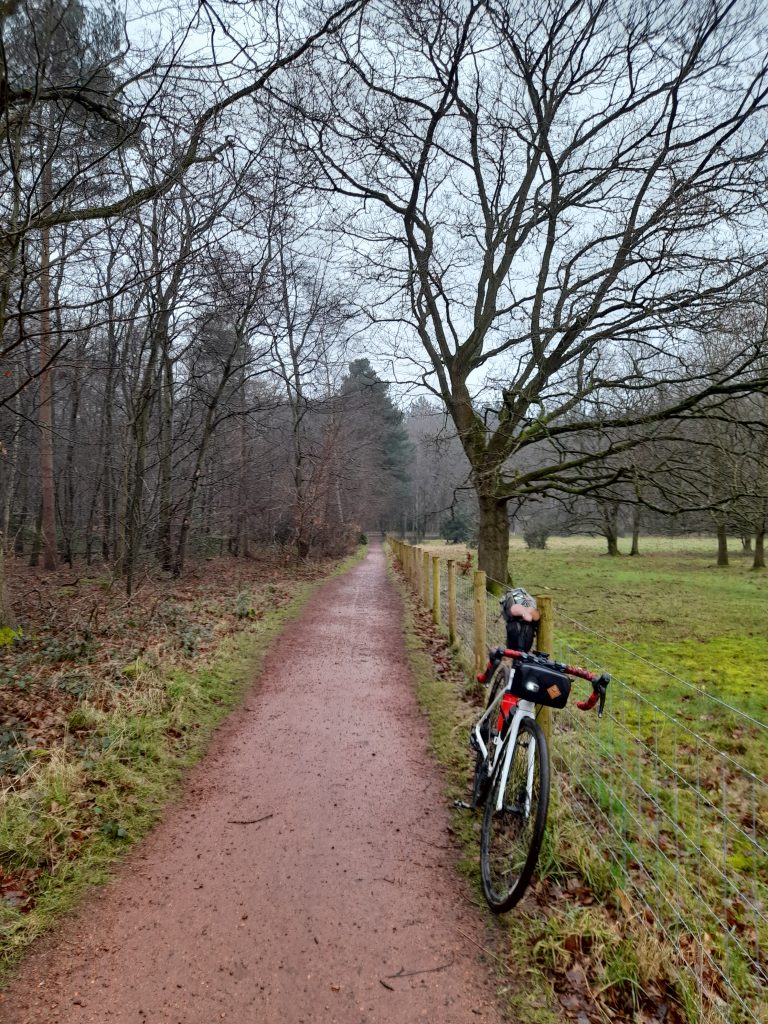
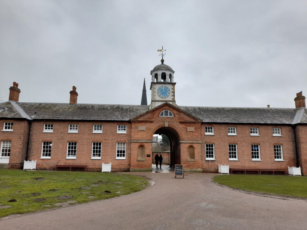
Clumber Park was established as the country estate of the Duke of Newcastle although the house itself was demolished in 1938. There remains the most incredible church that gives an indication of the wealth of the family, along with stable blocks and other buildings that now serve as visitor facilities. A born & bred socialist I’m always torn by the incredible inequity of such grand places whilst at the same time marvel at the architecture. Having such a grand church that could pass as a cathedral is a clear nod to the feudal system. It’s possible to spend hours in Clumber, now owned by the National trust. Although it can be busy on sunny summer weekends there are plenty of trails for the gravel biker to get lost in. So, after some lunch at the cafe and plenty of meandering I headed away from the park towards my destination in Worksop. NCN 6 takes one directly out of the park and into Worksop.

Worksop is a significant town with plenty of shops. It’s clearly still suffering from the economic and social impact of colliery closures and more recently the closure of the Wilko’s distribution centre that employed some 260 staff. I understand that there are plans to regenerate the town centre . The town, has rich heritage being the location of Worksop Manor, prison to Mary Queen of Scots. It was an important point on the Chesterfield Canal, it has rail connections to Sheffield and Nottingham. A proud mining district it now serves as a distribution centre due to its central location and the excellent rail and road connections.

And so, after relaxing in the Worksop Travelodge, a wash and brush-up I was ready to meet my friends from the north (Notts) for a curry and a pint. Even better that there was a surprise visit from a cycling mate of many decades who had travelled all the 65 miles from Lichfield to join us. I think I could write a whole book on my adventures with ‘Mapo!’ The night was made even better by the typical things that happen in a pub. After been mistaken for Mark Strong, whom I’d never heard of until looking him up on the internet the scenario was milked for all it was worth in school boy fashion. I shall retain the policy of anonymity rendering you, the reader unable to make your own judgement on this one. I would however pay thanks to the friendly people of Worksop for providing a source of laughter.

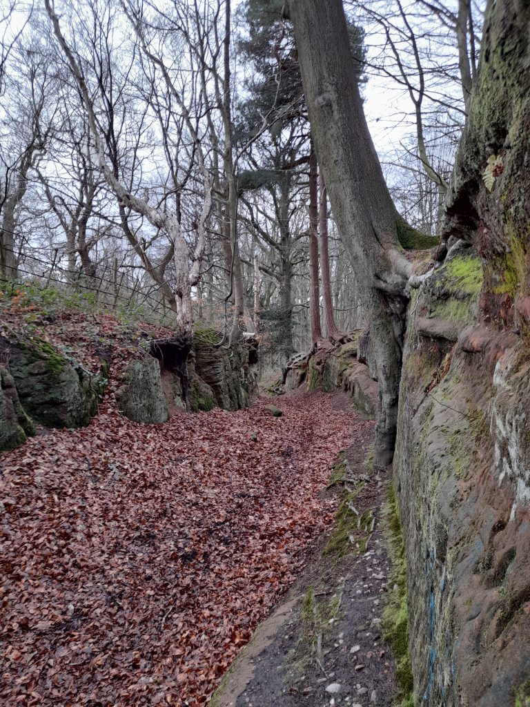
Day 3: The last and final day was back home to Hucknall from Worksop. It’s a route that I am mainly familiar with retracing my steps along route six and then heading east onto the outskirts of the Welbeck Estate. This is another grand estate that was the seat of the Duke of Portland. Unlike Clumber it remains in the private ownership of Welbeck Estates Limited and the residence of the Duke of Portland. This means that there is no public access beyond the established rights of way. Despite this denial of access to commoners the route through Welbeck that includes Drinking Pit lane is one of unquestionable fascination. It’s possible to imagine the countless travellers who have cut a path through the sandstone hollow. Many more have left their mark carved into the sandstone, something I would advise against. On this occasion the deep hollow was part filled with fallen leaves, protected from the elements by the steep sides and tree cover.

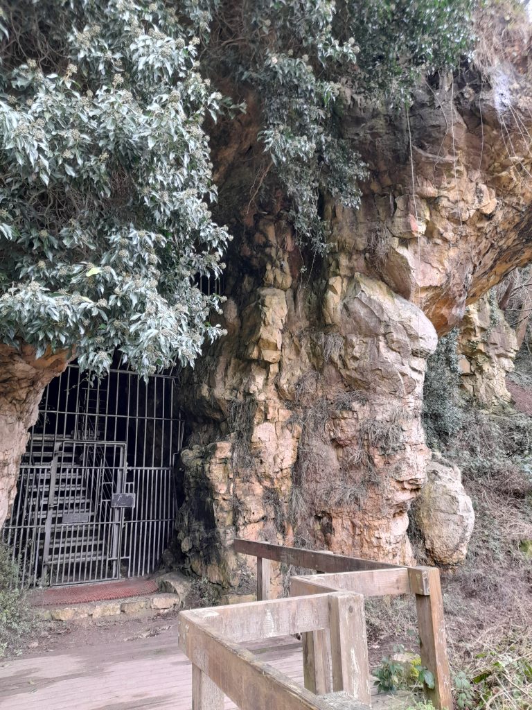
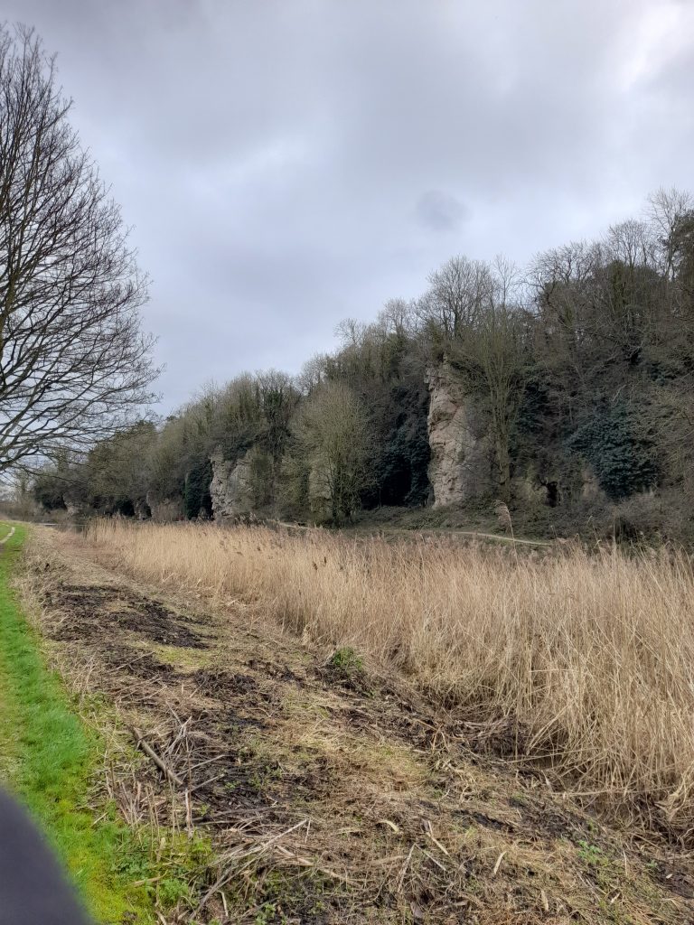
As though the route through Welbeck is not sufficiently enjoyable enough it then emerges onto the gravel track towards Creswell Crags. The caves there offer an insight into life 10,000 years ago. They offer educational tours and riding through I passed scores of school parties looking like mini Bob the Builders in the hi-viz jackets and yellow helmets. So ride through with respect for the many young and less able bodied visitor deserve.

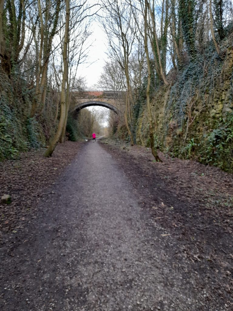
The final section of note, that I’ve not written about elsewhere is the track through Poulter Country Park. Part of the Archeological Way this section of the trail utilises the Park and an old railway line. Newley discovered to myself, after a shimmy across the lanes from the A616 the route is a great off road bypass of Langwith and towards Shirebrook. After that it was the usual route back home via the Parliament Oak and the outskirts of Mansfield.

In conclusion; I made a deal with myself to stop trying too hard once I reached 60 and enjoy life at a slower pace. The unexpected onset of a medical emergency made this less of a choice and more of a reality check. There is something beautiful in the ability to transport oneself many miles without the need to rely on artificial propulsion and with little environmental impact. I recall the actor Paul Eddington speaking at a time when he faced terminal illness. Paul said he would like to be thought of as someone who did very little harm (in a world where a lot of people do a great deal of harm). As cyclists we hopefully contribute very little harm whilst finding our paths to exploration and enrichment. If I can follow that path for the remainder of my active life then I shall be a happy man.

This tour was about making a milestone doing the thing that I love, sharing an evening with good people and not breaking records or pushing my old body to exhaustion. I look forward to the next decade of cycling.

Posted on

New year dead end, a story of the Nottingham Park Tunnel

New Year’s Day can be both an inspiration to make changes and plans for the forthcoming year as well as resolutions that are likely never to be kept. I like to think of it as an opportunity for hope and reflection and the best way for me to achieve this is to go on a bike ride. I expect you thought that might be my conclusion.

One of the enjoyable things to do on a New Year’s Day bike ride is go somewhere you wouldn’t normally. This year I decided to ride through the city of Nottingham whilst it was dead to traffic and the only people I came across during the first hour of my 07.30 start were the people who had not yet managed to make it home from their late night revelry. The Gravel Notts Route 7 (GRN7) already has a well worked out route through the city that takes advantage of as many gravel tracks and traffic free options as possible. Today I decided to utilise part of that route, National Cycle Network 6 and return along the river Leen Greenway. However, I had a different goal to that of GNR7. My goal was to visit and photograph the Nottingham Park Tunnel.

The Park is a rather upmarket semi private residential area just off the city centre. The wealth there is obvious even today with grand houses all around and the Nottingham Castle Tennis Club at its core. Sitting high above The Park stands Nottingham Castle on its sandstone plinth. There are various entrances with large wooden gates denoting that this is a special place reserved for those of a certain station in life.

Anyhow, enough of the working class chip on my shoulder, no doubt the Duke of Newcastle was an honest guy who accumulated his great wealth and assets through endeavour, oh and a family peerage that dates back to their support of the loyalist cause. As well as owning the Park the Duke once owned Clumber to the north of the county, featured in the Gravel Notts routes.

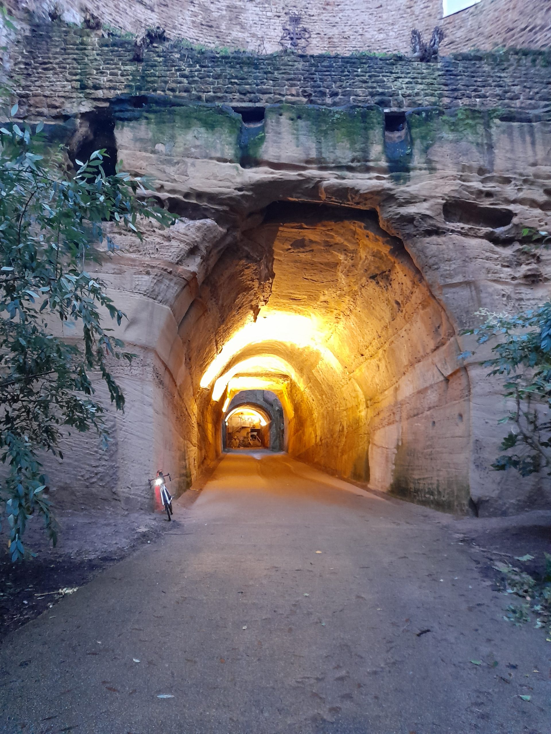
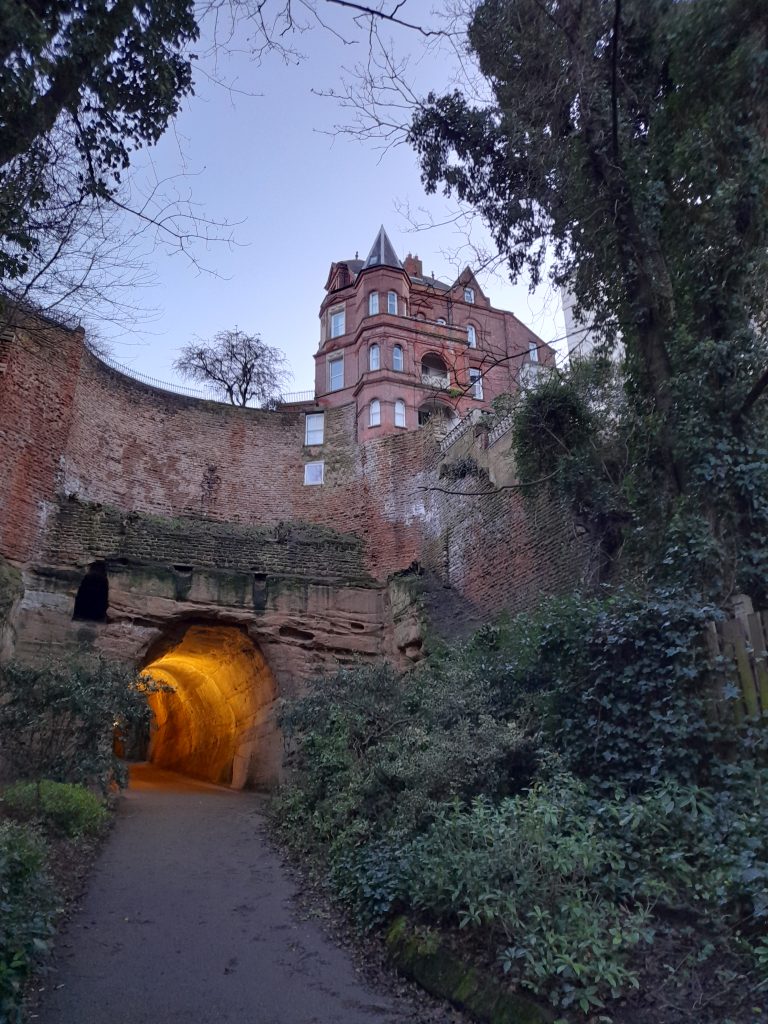
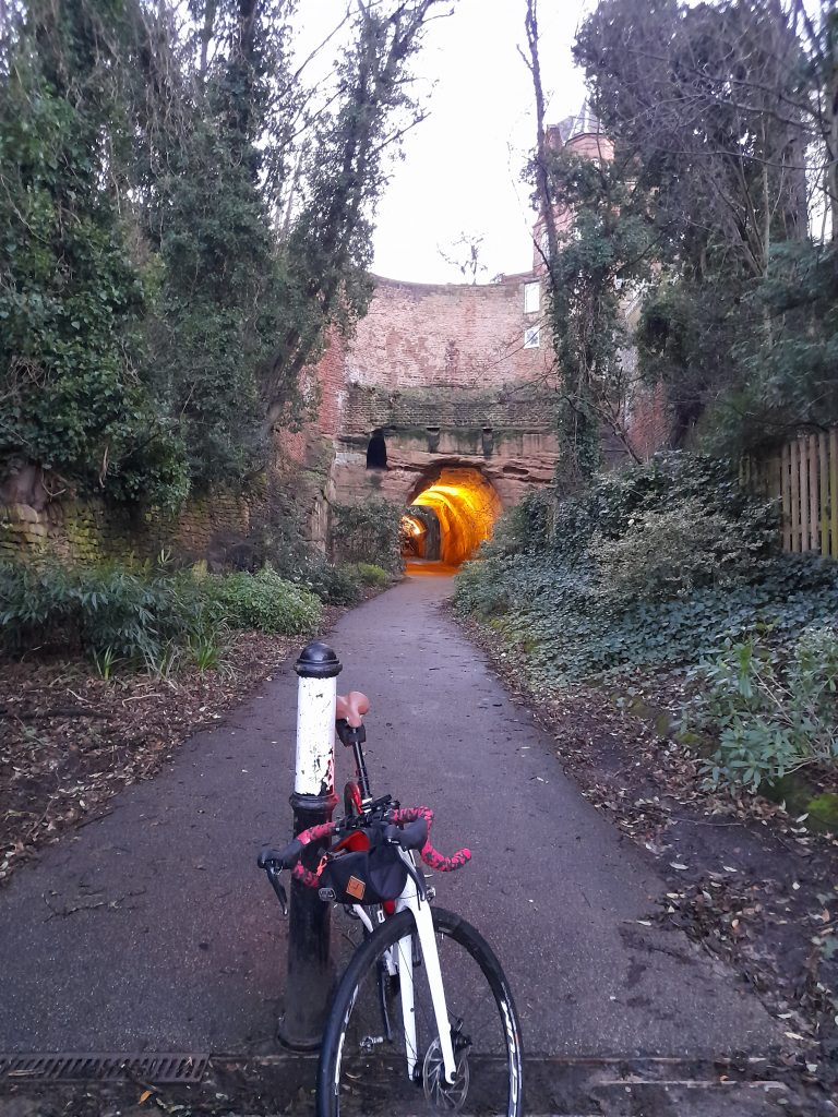
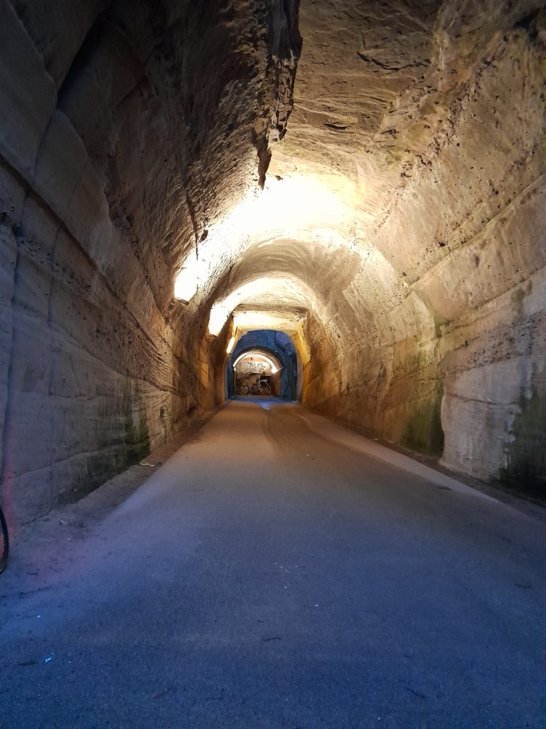
It was the then Duke of Newcastle who commissioned the tunnel as a spectacular entrance the Park in 1885. The idea being to provide access to horse drawn carriages. The project was an engineering disaster with the eventual gradient being too steep for its intended transportation. So, we are left with a piece of abandoned engineering. Two stretches of tunnel unsupported through the sandstone with an open air section in the middle. After entering the tunnel from Tunnel Road you reach a dead end to traffic and an impressive stone staircase that winds its way up onto Derby Road.

The structure is just one of the unusual and interesting things that I shall write about in a Gravel Notts publication (hopefully) later this year. It’s another reminder of the geological history of our fine city and well worth exploring although it is literally a road to nowhere.

Sources of information various public.

Posted on

Boxing Day Byways

Boxing Day is a traditional English bank holiday that sees a full sporting calendar and people walking off overindulgence from the day before. Its origins are more philanthropic, a day for giving to those less fortunate than one’s self. I tend to view Boxing Day as a time to give back to my soul and replenish wellbeing with a good dose of cycling and being out in nature.

This year, on a bright clear morning I decided to explore a byway that I’ve not ridden before. Surprising because Carvers Hollow is not far from where I live, about 20km away in fact. It does not feature on the Gravel Notts routes simply because it’s not really on a route to anywhere. So, having designed a ride around Cavers Hollow, the adjoining Newhall Lane and interestingly named Cutlersforth I set out early with my leftover vegetarian roast and stuffing sandwich, along with a flask of coffee.

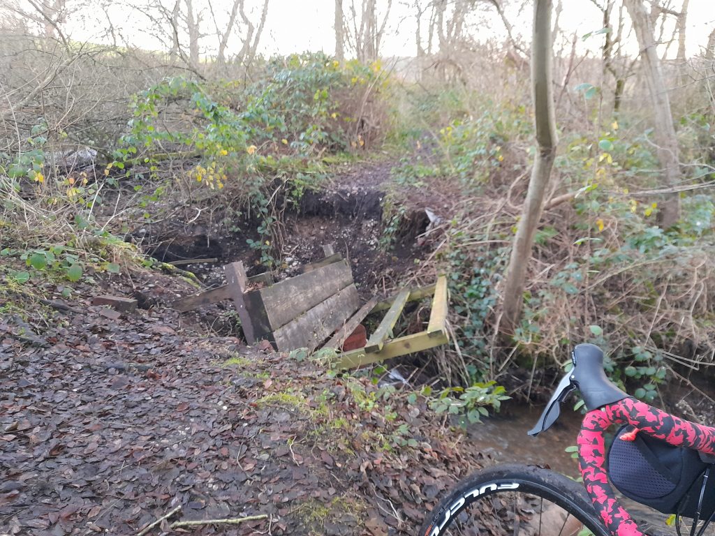
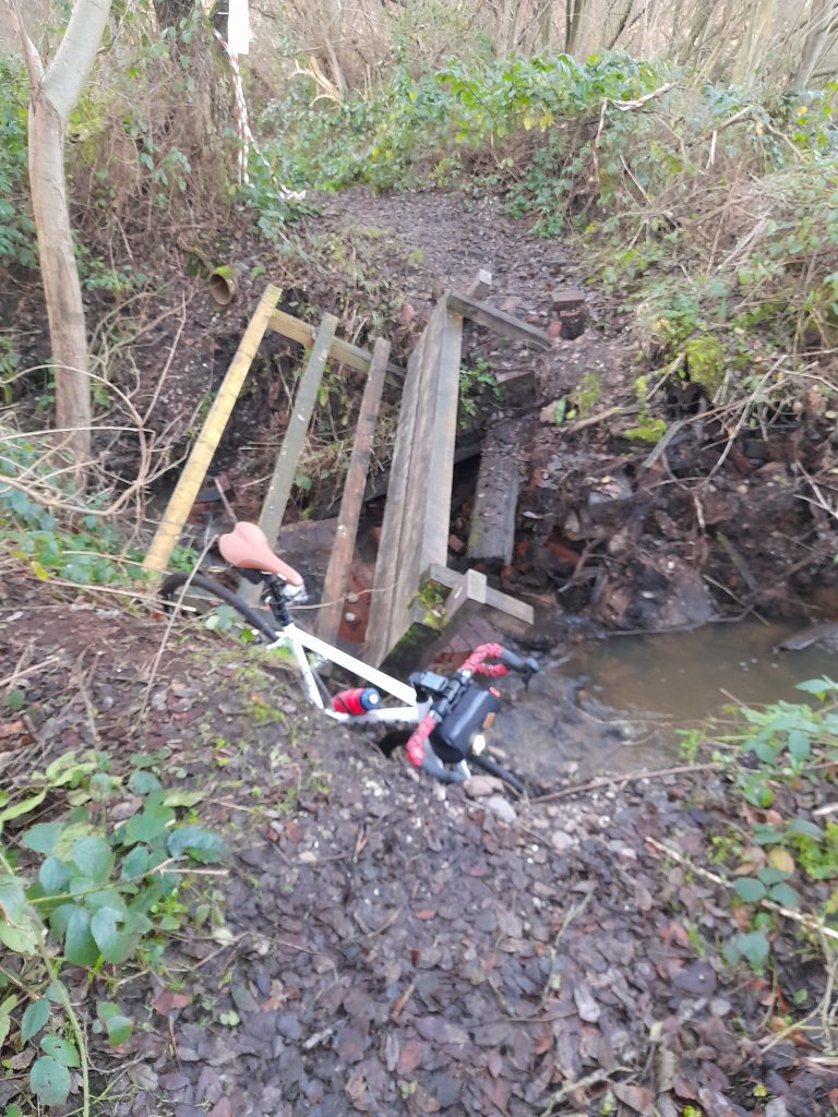
Making my way out of the home town, across Papplewick Moor and through Samsom Wood I decided to try a new footpath linking two main roads to avoid the traffic. That was the real start of my adventure. Having crossed a field into the nearby coppice I was in for a surprise. Within this small patch of trees runs a stream that feeds Beanford Ford. The narrow wooden bridge across the stream had been partially washed away during recent floods forcing a precarious crossing of man and bike.

Having made my way over the stream hauling my heavy winter bike down and out of the obstacle I continued out of the wood and along a delightful track to the main road. The main road was thankfully deserted this early on a bank holiday.

After a short stretch of A road, I took a right into Greaves Lane and climbed the 10% hill before descending in the direction of Edingley village for about two kilometres. A sharp right took me away from the village and my exploration of Carvers Hollow began with a sharp climb maxing out at about 15%. Not much in the way of things but my winter bike only sports an 8 speed 38/28 so I was working by the top of the climb.

The semi-tarmac Carvers Hollow was smooth in comparison to the unnamed byway taken to the left and towards Newhall Lane. At the summit there was a convenient concrete block that served as a table for my sandwich break. Continuing on Newhall Lane offered a similar surface with the occasional deep puddle to ensure our washing machine would be pressed into service upon my return home.

Turning into Cutlersforth I eventually emerged north of Halam village before the climb to Oxton Bank and a fast descent towards more familiar roads and home.

All in all, this was a satisfying adventure that gave more than expected for a short ride of less than 40km. Back home to a shower, rolled eyes from the wife and an afternoon of more Christmas leftovers.

Posted on

Shirebrook or bust

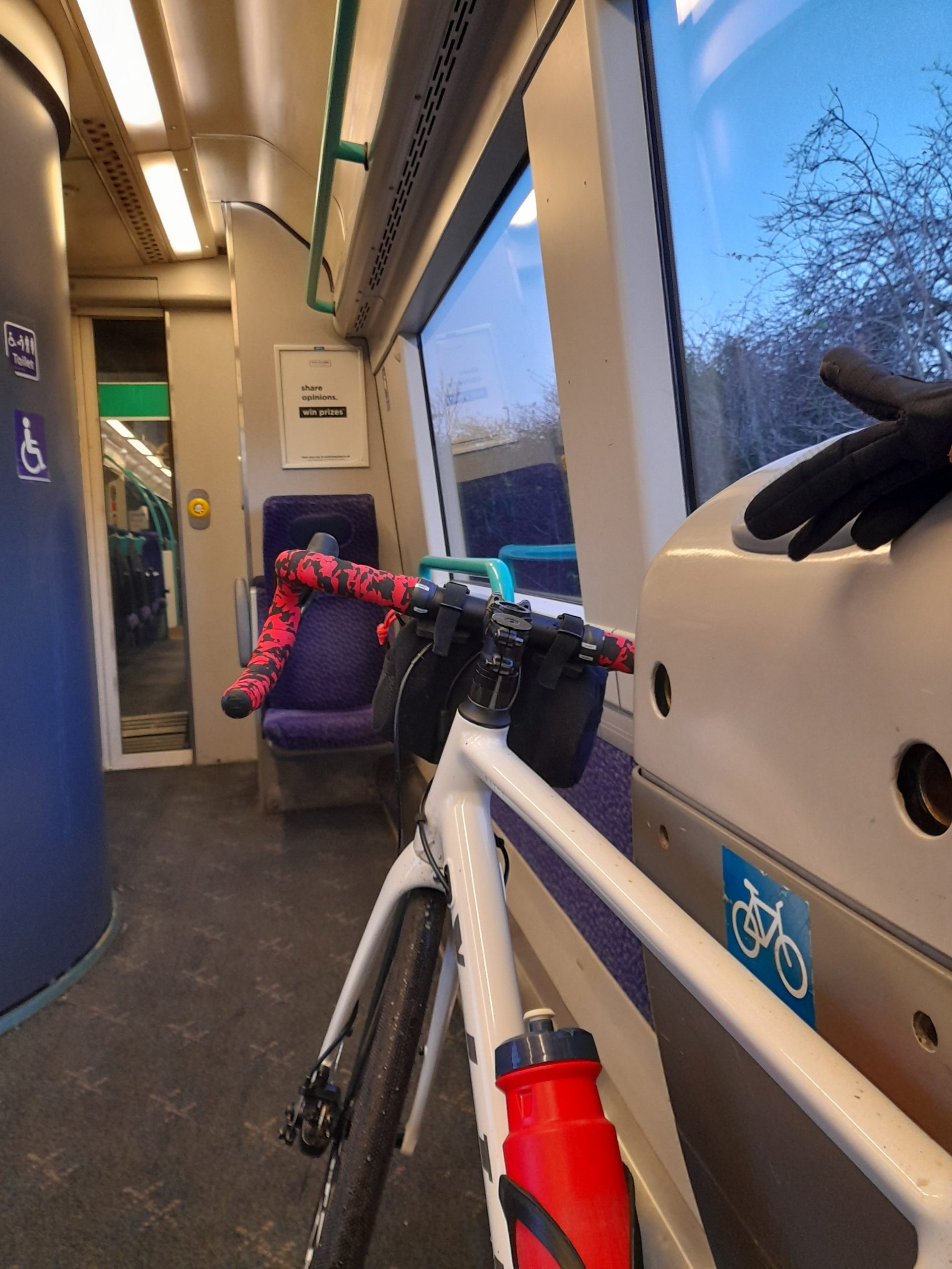
With an objective of taking some winter shots of the historic Parliament Oak for a book I am writing I awoke to a perfect crisp winter morning. My cycling effort and mileage is currently limited whilst I wait with ever diminishing patience for an operation on the NHS. This rendered the only sensible option being an outward journey on the Robin Hood Line from Hucknall to Shirebrook

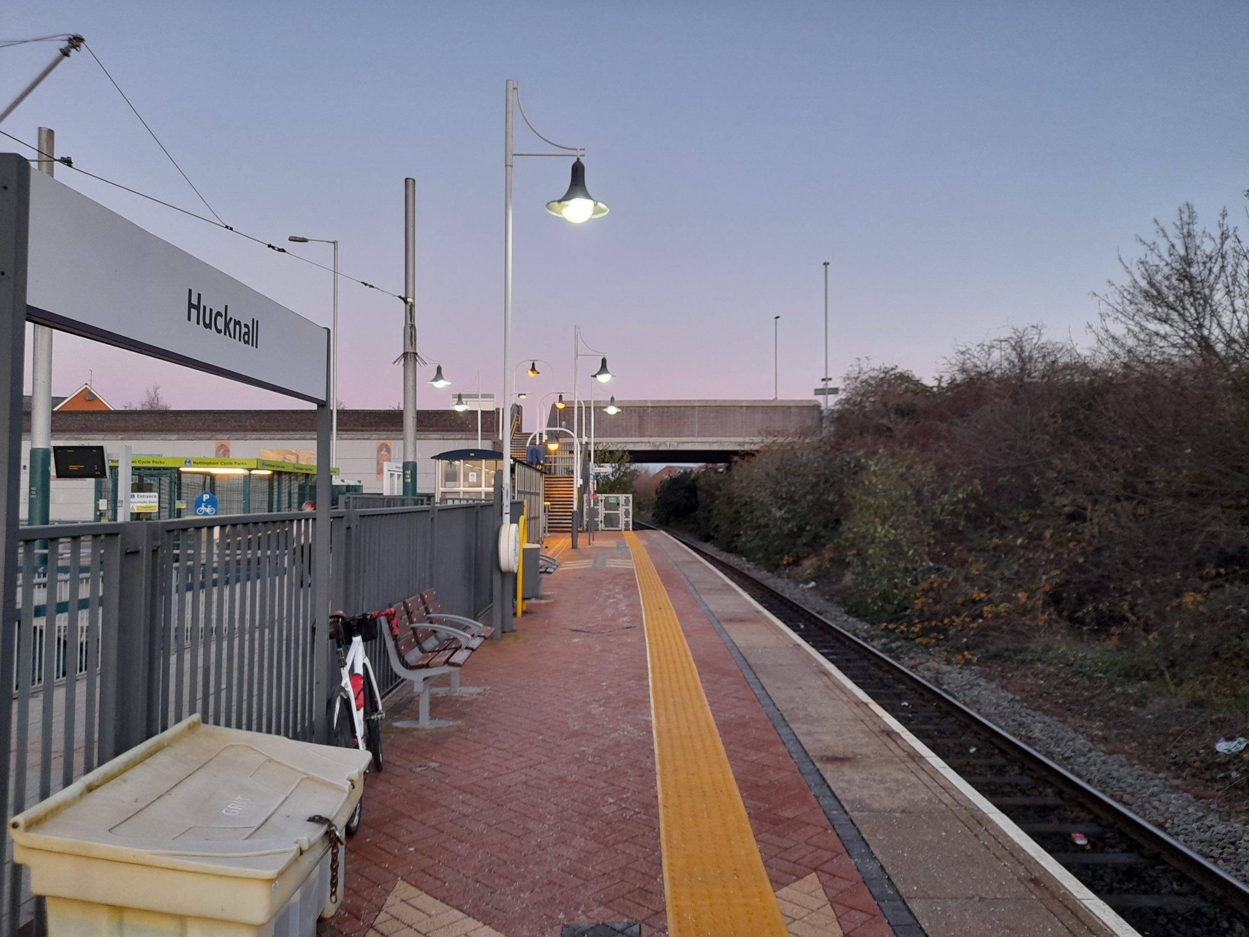
So, the 7.42 train left Hucknall just as the sun climbed over the station bridge. I could tell this was going to be a perfect morning to capture a photograph of the splendid oak. It was only as I took the phone from my canister bag  hoping to take a picture whilst leaving the station that I realised I’d not put the batteries in! Therefore, phone photo’s it would be.

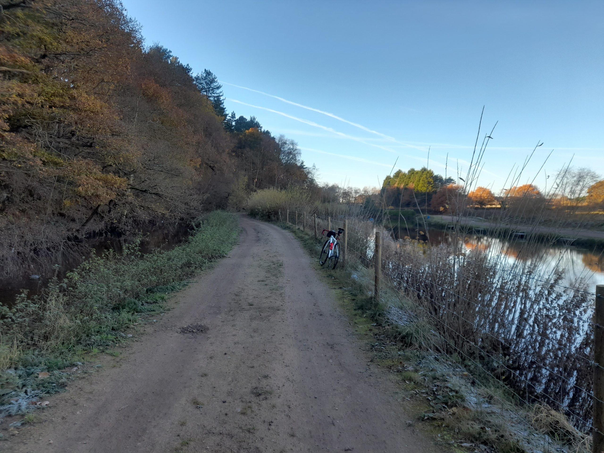
Alighting the train at Shirebrook station I looked forward to the first leg of my cycling mini adventure from Shirebrook to the Parliament Oak.  This included a detour of Shirebrook wood to avoid the main road. A reflection of low winter sunlight bounced off a pond lying at the edge of the wood. It was blinding, making clear vision virtually impossible.

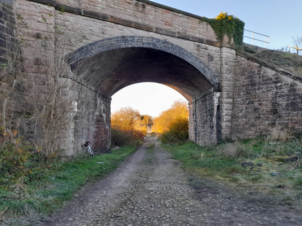
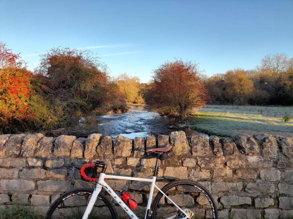
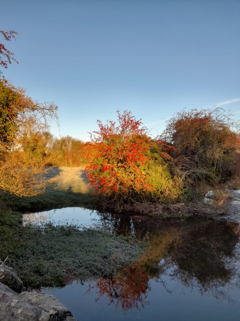
After a short return to tarmac I was able to pick up Sookholme Lane which quickly turned from asphalt to gravel. This section was new to me and riding it wasn’t to disappoint. The farm track was delightful and made better by a frost that kept the surface firm. Passing under a viaduct and then over a limestone bridge that spanned the river Meden I stopped to take a few photographs. The river was cascading over rocks and bordered with bushes resplendent in bright red berries.

It wasn’t long before I said goodbye to Sookholme Lane and hello to Market Warsop.  After resolving my confusion over the route, a lane that Garmin thought had open access was in fact blocked by a tall padlocked gate at each end. I plotted my revised way out of Warsop picking up what must be an ancient track called Coach Road. This track ran along a wood known as Forest Hill Plantation. It was a delight and brought me directly to Parliament Oak.

On my last visit to see this historic Oak it was in its full coat of leaves. Now bare of summer foliage and set against the winter sunlight Parliament Oak looked like the arteries’ of an oversized heart. With few leaves to cover its great mass it was easy to make out the snaking trunk ravaged by time but refusing to give up on life. It very much reminded me of my own self determination to carry on despite the battle scars acquired during decades of running, cycling and striving to make sense of the crazy economy in which we work, or at least the work I do to make a living. But my triumph against adversity is nothing compared to the thousand years or more this battered oak has endured.

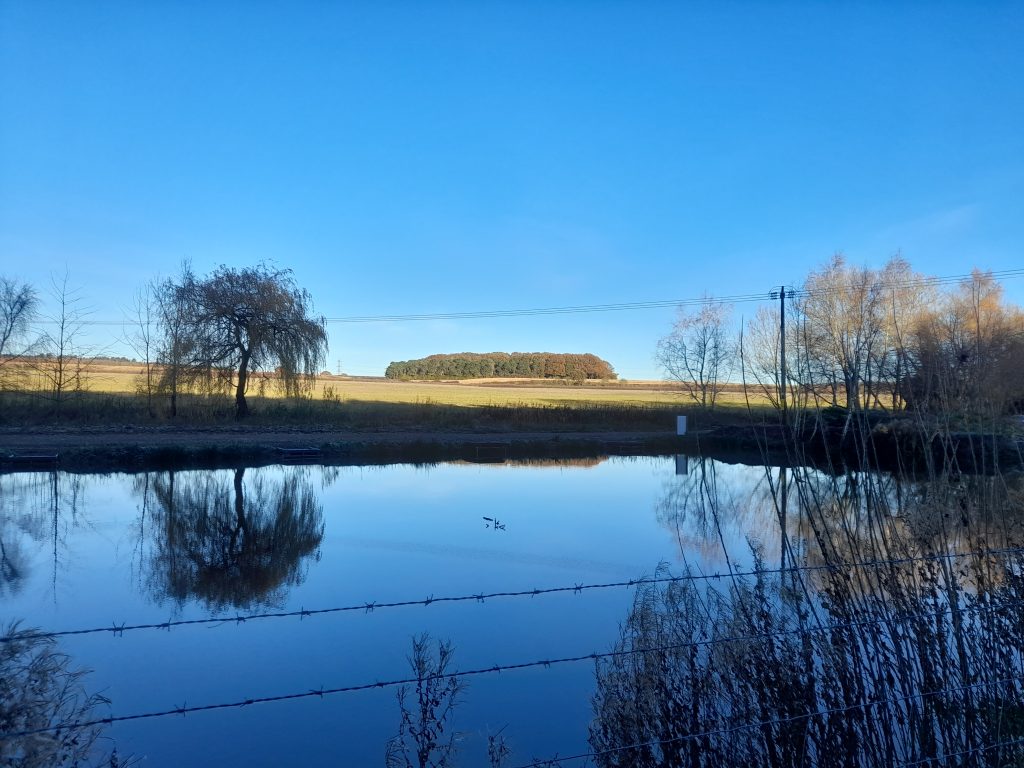
Having gathered the photographs I wished to collect I made my way south, through the sandy track that is New Buildings Drive, I often wonder about the names of these tracks. Once at the bottom of the lane and having shared a few good mornings with local dog walkers I arrived at Sherwood Forest Fishery. There, head tucked under wing was a heron. Perched on a pole driven into the pond bed. I thought it hadn’t seen me and, after gently leaning my bike on a fence, reaching for my phone and pressing the camera icon, off flew the heron. And that is the story of my wildlife photography in one instance. Despite my obvious disappointment the mirror like pond delivered pleasure to the eye so I snapped a few frames for the record.

And onwards, turning into the steep climb of Cavendish Wood I had to remind myself to be sparing with the effort, doctor’s orders. This can be a challenge because I feel I still have climber’s legs. Cavendish Wood is a lovely stretch but having only a 28-tooth sprocket at the back and a loose surface under tyre, made me exert myself more than I know I should at the moment.

After negotiating the climb, I was then following yet more interestingly names and equally enjoyable tracks as I made my way to the outskirts of Mansfield via the delightful named Chestnut Screed and then Clipstone Drive. Once in Mansfield it was easy to avoid the busy roads by following the course of the town’s long- abandoned Racecourse and over Berry Hill Park. Leaving the town there was only a brief encounter with the A60 before turning right into Thieves Wood and a well-earned picnic stop. It was interesting and slightly worrying to observe how many people were there having travelled in cars to take in nature. The burger van proving an ever-popular supply of calories, but not for me having been a vegetarian for the past 35 years.

Having refreshed myself with a pack-up lunch I made my way for the final 14 kilometres of my ride, taking the back route into Newstead Abbey to avoid paying the excessive toll on National Cycle Network route 6 (levied by Nottingham City Council) and entering the grounds after the gatehouse. The section back to Linby and home was more challenging than normal having been churned up by the recent floods. Sustrans volunteers have made a great effort to get this section useable again given the totality of water levels a few weeks before. Reflecting on this ride made me think about how lucky we are in Nottinghamshire having such a diversity and range of gravel bike options and also on the incredible spectacle loaned to me by nature on this bright winter’s day.

Download the GPX file below:

Posted on

Become a Legend of the Gravel

A short post to congratulate our good friend Dave and his Merry Men who took on and championed a very wet Glorious Gravel event today (organised by Glorious Gravel). Despite the horrendous conditions mid-week leaving the course flooded in several places, Dave and his mates managed to complete the course in 3 hours 48 minutes. Not Dave’s normal pace but achieving over 11 mph in these conditions makes him a Gravel Notts Legend. Here’s to all the riders who braved the conditions wherever they might have cycled today. Don’t try this at home.

You too can become a Gravel Notts Legend. If you complete one of our routes we’re happy to share your thoughts and pictures. You don’t have to get as wet as Dave and his mates through!

Posted on

How to watch the Tour of Britain 2023 (Stage 4) by gravel bike

The idea of professional cyclists from across the world racing in my home county has captured my imagination for decades. I’m sure this passion is shared with many other Notts born cyclists. My first memory of being inspired to watch such events came when I was just 10 years of age, or thereabouts. Sneaking a day of school to watch the Milk Race. I pedalled six miles to Oxton roundabout, all the way imagining being in a peloton spinning the little cranks on my 24” wheeled racer. OK, since then the wheels have grown to a metric 700c and the dream is extinct but the enthusiasm remains.

These days it’s almost like paying homage to Nottinghamshire as a great cycling county, home of Raleigh and Carlton bikes but most of all the memories of growing up and escaping the realities of life in a mining town. Cycling off into the countryside each weekend and racing mid-week time trials on the same bike in the summer months.

The matter in hand is that Nottinghamshire offers some great scenery and rural cycling that should be better known to gravel riders. In recent times the expansion of the National Cycle Network has improved this experience. Stage 4 of the Tour offers you a chance to find out about the county whilst watching some cycling greats of the modern era.

The Tour of Britain returns to Nottinghamshire for the fourth time on 6th September 2023. Stage 4 snakes its way around our beautiful county starting in Edwinstowe and finishing in Newark. The race passes through the Notts & Yorkshire boundary town of Harworth home to the first British road race world champion, classics winner and our first cyclist to wear a yellow jersey in the Tour de France. Tom Simpson’s life is well documented by Chris Sidwells in the Cycling Legends series.

Harworth marks the most northerly point of the race and provides a great atmosphere for cycling events so do include this in your considerations. If all goes to plan, I’ll be watching the race from neighbouring Bircotes simply because my companion for the day, a cycling mate of almost 30 years, was born and bred on Scrooby Road where there now stands the Tom Simpson memorial. I seem to remember a few post race pints being enjoyed after the Tour of Yorkshire some years ago.

Anyhow, apart from slurping a few beers in Harworth here’s my tips for seeing the Tour of Britain Stage 4 by gravel bike.

How to watch the race by gravel bike

The full route timetable has now been published. Use some of the suggested National Cycle Network routes to build your own plan for watching the race by gravel bike or follow some of our suggestions later on in this blog. All times stated are estimates so please allow yourself plenty of time. Also check Nottinghamshire County Council’s latest information on road closures and parking restrictions, although we would encourage readers to arrive by bike and for those from outside the area to park well away from the race route and cycle in via one of the cycling networks highlighted below.

The trails around Nottinghamshire offer gravel riders the opportunity to watch Stage 4 from multiple vantage points that would be difficult by road, especially with road closures. In this blog we suggest some possible options to see the race pass more than once. There’s a clear message, definitely leave the car at home and probably take advantage of the connectivity offered to gravel cyclists.

There are a few key National Cycle Network routes that will be useful. Please be mindful that on the day others may have the same idea so the trails are likely to be busier than normal. They are:

NCN 6; leaves the city and runs as far north as Worksop and beyond into Sheffield. Great if you are travelling from north or south.

NCN 645; the Southwell trail links Sherwood Forest with Southwell. NCN 645 offers a quality off-road trail to see the tour with drop-off points along the route to Southwell including a vantage point in Kirklington.

NCN 647; links Tuxford (if you include a few kilometres of country lanes) to Lincolnshire via the Fedborough Viaduct. It cuts across the route in two places, three if you are a potential UCI gravel world champion and can get from Tuxford and over the Fledborough Viaduct in the time it takes the peloton to reach the east bank of the River Trent.

NCN 64; offers a route towards the finish in Newark from the south of the county and from the city you can link to this by NCN 15 that runs from Trent Bridge.

Adding country lanes, you may be able to expand your options. I find the OS online map a great resource for planning gravel rides.

NCN on the OS online map

Getting to the start

The Tour starts at the Sherwood Forest Visitor Centre (Edwinstowe) at 11.15 and can be reached from both directions (north or south) via NCN 6. Pick up Broad Lane, which is an ancient forest track heading east from NCN 6. This takes you to the Major Oak from where you can make your way south (for approximately 1km) towards Edwinstowe village and to the start at the Visitor Centre.

It’s worth mentioning that there are no hills on the route that will trouble the professional peloton so whilst it’s worth seeking out vantage points on a climb, don’t expect the pace to drop much below 30 kph anywhere in Nottinghamshire. If you decide on waving the riders off close to the start then you have a few options to see the race again at a later point.

Suggested routes:
From the start in Edwinstowe

2nd KOM – Redhill Lane Eakring (21 km)

The Tour heads north from Edwinstowe before returning southwards providing just enough time to intercept the race at the second KOM north of Eakring village. There is an excellent gravel route of approximately 21 km but you’ll need to be confident of holding a pace to take this option. If you’re not sure of your ability to make the timings then this KOM would make a great vantage point in it’s own right. The racing time from start to Redhill lane (KOM) is estimated at 1hr 54 minutes (fastest estimate).

Directions to KOM from Edwinstowe

Take the B6037 out of Edwinstowe and turn right into Mill Lane, just after the River Maun. At the T-junction turn left then immediate right into Sherwood Pines. From there pick up NCN 6 until you reach NCN 645 were you follow NCN 645 until exiting at Bilsthorpe onto Eakring Road. Turn left then right into Swish Lane then right again at the T-junction. Arriving in Eakring turn left into Wellow/Redhill Lane heading north towards the KOM.

Wellow village (6.5km)

A shorter option involves travel by road and the quietest option is to leave Edwinstowe by B6034, go straight on at the crossroads then take a left into Vexation Lane that turns into a byway. At the end Rufford Lane is facing you over the A614. Rufford Lane is famous for its ford videos on YouTube. I’d suggest using the bridge to cross. Go to the end of Rufford Lane and you will pick up the ToB route at the junction with A616. Turn right for a picturesque vantage point on the village green at Wellow with its tall maypole. The arrival time in Wellow Village is 13.06 (1hr 51) fastest estimate.

Viewing the race, other options

Southwell/Kirklington

Access to the southerly point of the ToB course can be reached via the Southwell Trail (NCN 645) where the ToB course turns back north again at Southwell. The race arrives in Queens Street Southwell between 13.29 and 13.56. NCN 645 is also a good option to see the race as it speeds through Kirklington, estimated arrival 13.22 and 13.28. You will have to leave NCN just after the carpark in Kirklington and turn left on Station Road where you will intercept the race route.

If you remain on NCN 645 to the end point and you can watch the race from the National Trust Workhouse, Station Road (13.30 – 13.38).

Fledborough

The Fedborough Viaduct NCN 647 acts as a convenient link between two points of the ToB as it loops north and south again crossing the River Trent at Dunham Bridge (A57). This is a great route if you are cycling from Lincoln. The two points to see the race from each side of the river Trent are only around 2 km apart whilst the race has to cover 8 km crossing the Trent north at Dunham Bridge. There may be a mad race across the viaduct so be careful.

The race arrives at Fledborough Road between 14.10 – 14.47 (west bank) and arrives at the opposite side (east bank) approximately between 14.19 – 14.58. The route timetable does not give an exact marker for this point.

Clumber Park – Bothamsall

The ToB cuts through the west of Clumber Park travelling along Limetree Avenue. This is directly accessible from NCN 6 so you will be able to travel to the start from the north or south via NCN 6. There is then the option to travel the short 8km to view the race as it passes (southbound) through Bothamsall on the B6387. You will have approximately a hour to make the link by taking NCN 6 over the Ornamental Bridge in Clumber Park and then taking a left (east just after the lodge) along Freeboard Lane until you reach the A614. Go straight over onto the unclassified road, passing Nottinghamshires last oilfield, and then taking the left turn towards Bothamsall village and the junction with the B6387.

Wider exploration of Nottinghamshire

If you are visiting Nottinghamshire for the Tour why not take advantage of some of Gravel Notts nine routes. They can be found here.

Key:
KOM: Kind of the Mountains
NCN: National Cycle Network

ToB: Tour of Britain