Posted on

Summer 2026 – Netherlands and Flanders

Day 1

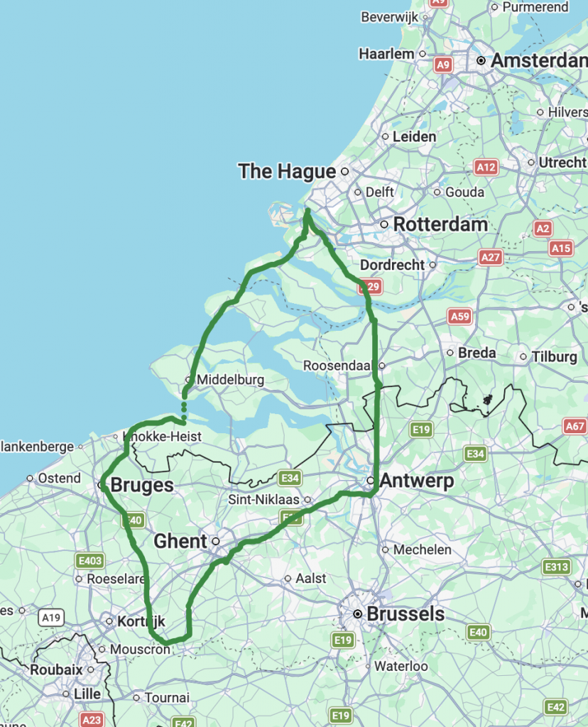
The liaison of four riders for this year’s main event, a loop to include the Netherlands and Belgium (Flanders), was a simple affair. Due to our home locations spread from south of the city to north of Nottingham, we all decided to catch the Robin Hood Line, alighting in Worksop. This plan reduced our first day’s riding distance to around the 100 kilometre mark. On East Midlands Trains, cycle coach provision is only designed for two bikes. It was a cosy affair at the point when the fourth rider boarded Coach C. Thankfully we were not challenged by the guard who kindly checked our tickets and moved on with a smile. And so it was, four cyclists, Neil, Dave, Colin and Andrew, set off in anticipation of adventure.

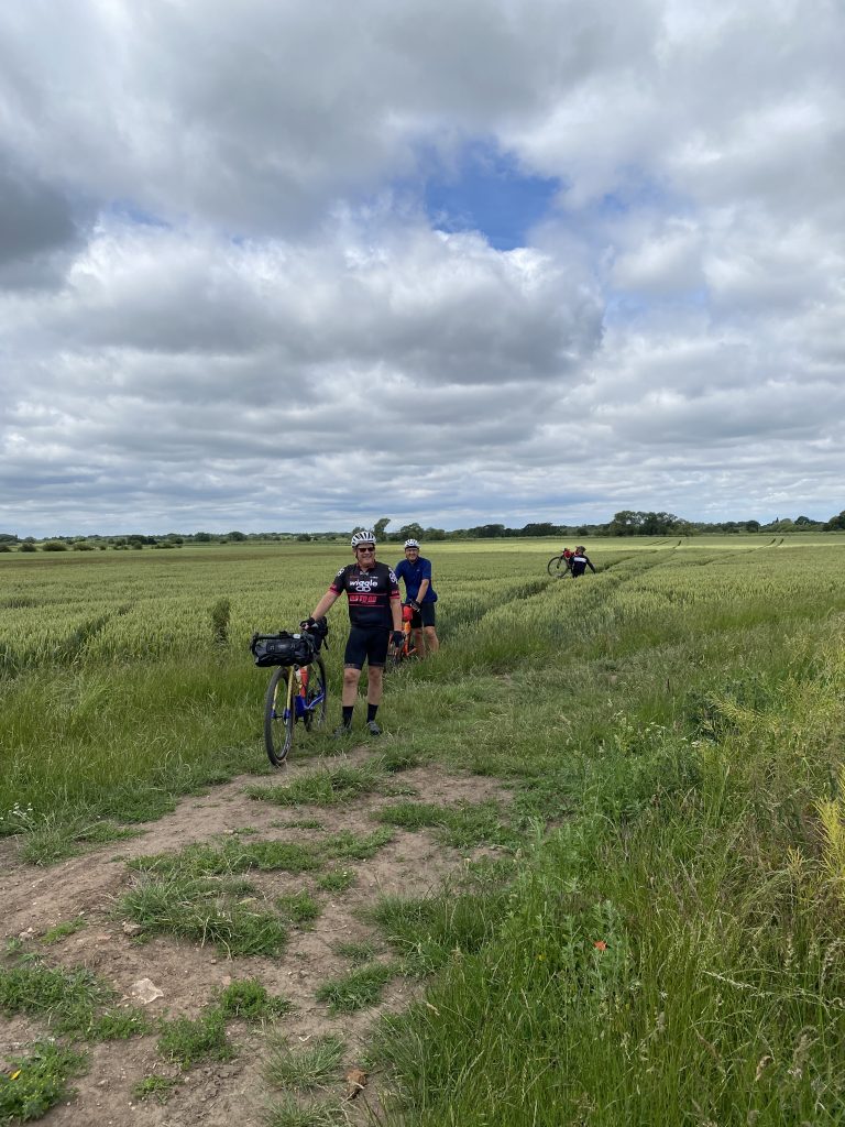
Shortly after leaving the station, we picked up a canal path out of Worksop and soon found good gravel leading onwards to the Wetland Lakes at Lound. The temperature was already climbing towards the day’s average of the high twenties by the time we reached a ‘hike-a-bike’ section through a cornfield. This useful shortcut reduced the distance travelled by road. Remounting our steeds we cycled onto Clayworth, Gringley on the Hill and then our first tea stop at a surprisingly good café situated in an industrial estate east of Misterton.

It was at this point that Dave experienced the first of his Di12 (electronic gear shifting) problems. Something that would worry us for the next few days as he suffered intermittent interruption at the rear derailleur. Thankfully, normal service resumed promptly and we made good progress as we followed the River Trent’s course towards the Humber. Day 1 was also the point where Dave picked up a puncture. He was not having much luck so far. We had all opted for a tubeless set-up but this was one of those occasions when a rip in the tyre was too large for the sealant to do its work, requiring us to plug the hole. From this point on Dave’s rear tyre would plague him with the slow escape of sealant and air.

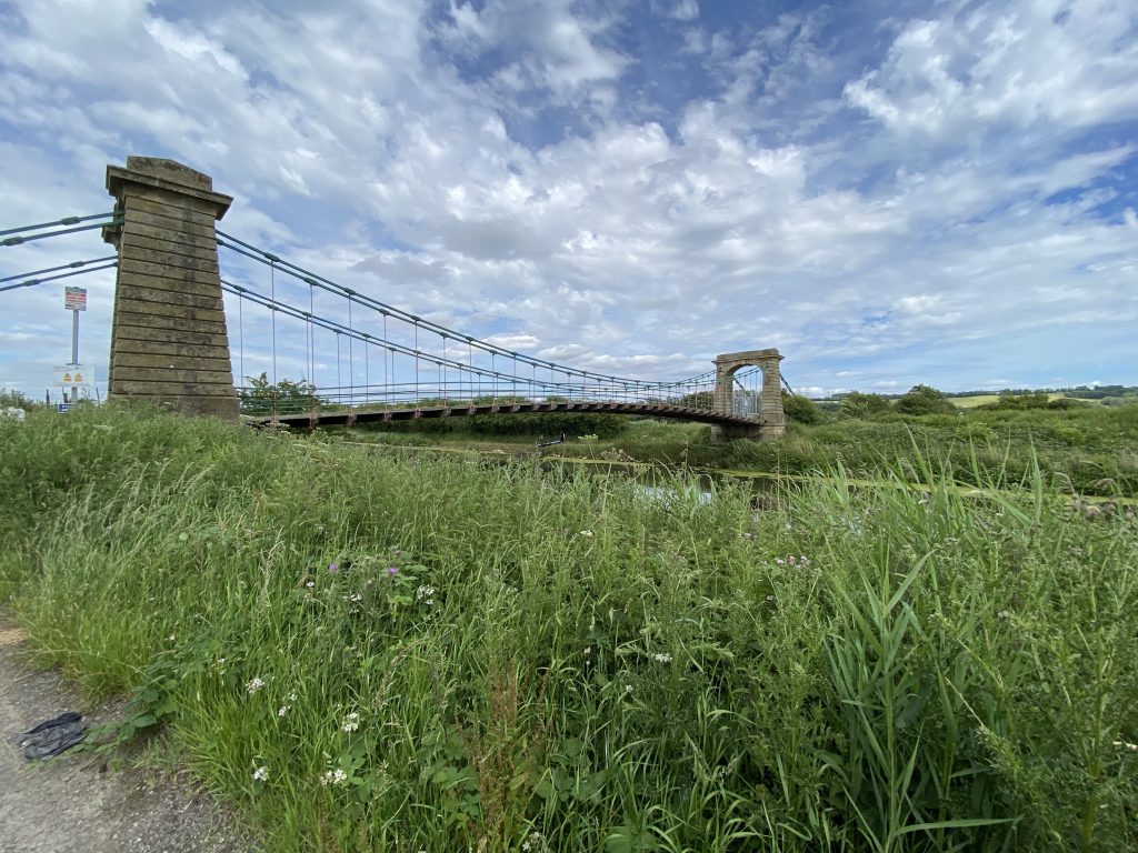
Deviating away from the River Trent at Flixborough we made our way alongside Normanby Hall Country Park and Roxby with the intention of crossing the River Ancholme at Horkstowe Bridge. Unfortunately, the bridge was closed for repairs causing us to back track and cross the River on the rather unpleasant A1077 via the village of Ferriby Sluice.  We then followed the route to the Humber Bridge. Crossing into Hull we navigated our way as safely as we could through the city and onto the port.

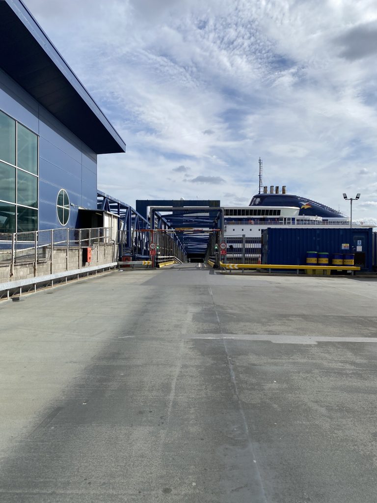
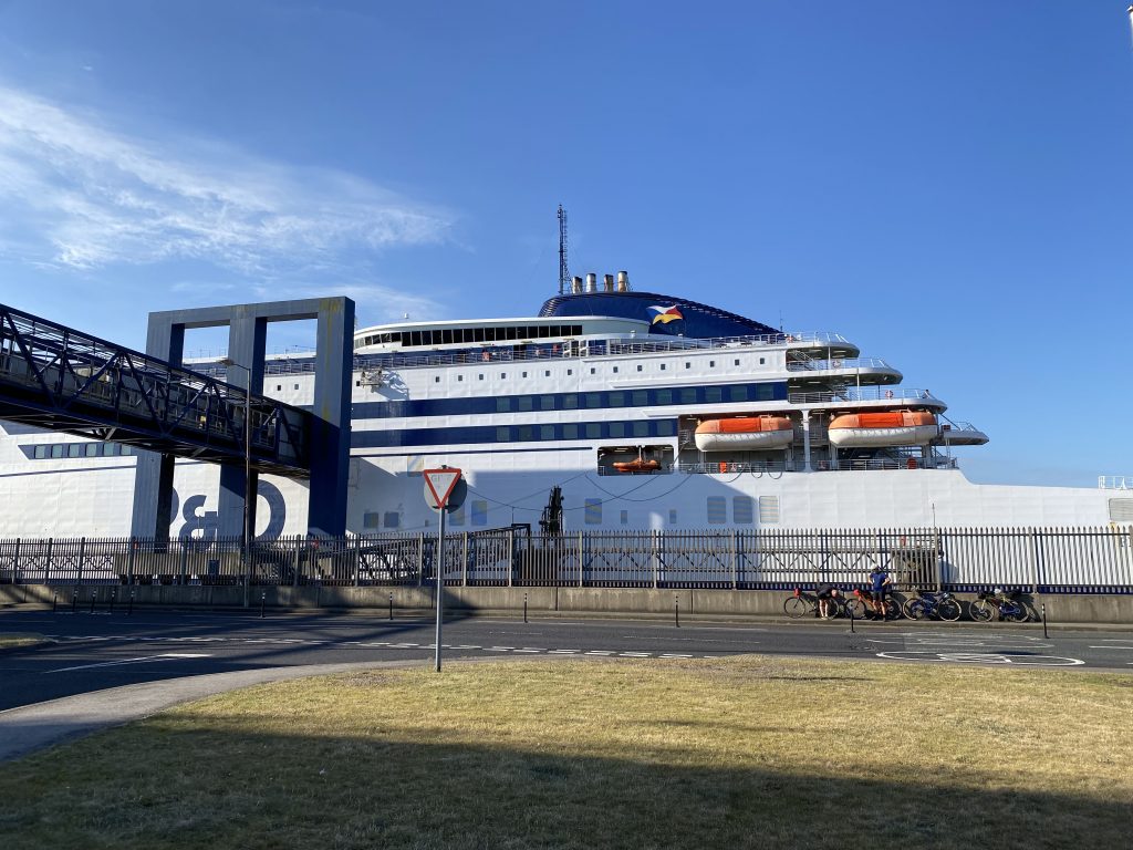
By now, Colin, who had not had a chance to fully train for the ride, was feeling the strain and struggled up the ramp to the ferry. Never mind, all four intrepid riders had made it to the end of Day 1. The ferry provided adequate options for food, a few beers and a cosy cabin for four tired blokes to sleep off the day’s ride and recover. Just as well because Day 2 would turn out to be the longest, hardest and hottest day of the tour. We were on our way to the Netherlands!
Day 2

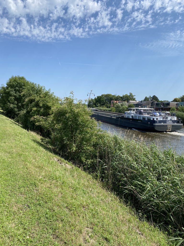
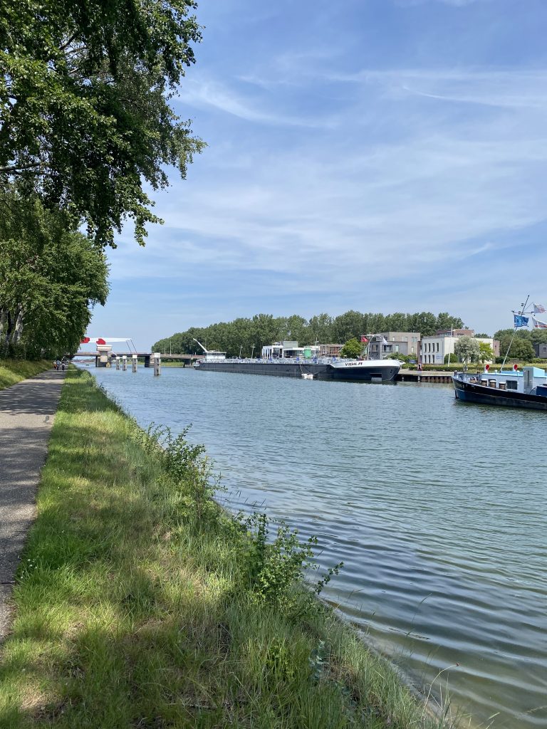
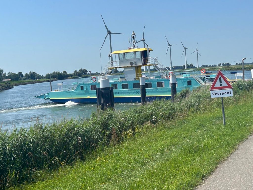
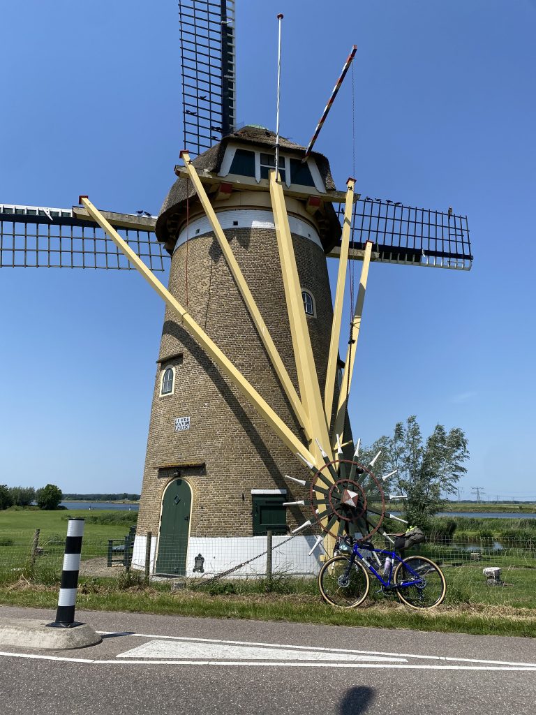
Leaving the Europort in Rotterdam was straightforward despite the countless reports of chaos caused by the new EU Entry, Exit System (EES). The contrast with our approach to the port of Hull could not be overstated. Despite Rotterdam being one of the busiest ports in Europe traffic out of the ferry terminal was light and the cycling lanes were wide, purpose built and easy to navigate. They made for good sightseeing as well. We passed over multiple estuaries with huge barges transporting goods in and out of the Netherlands. This was to be our longest day on the bike. Dave’s Di12 troubles returned and whilst taking a break, and the opportunity to refill our water bottles, at a service station a kind local informed us of a cycle shop close by. Sadly, the detour was in vain. The shop owner did not deal in or service electronically operated gears. After a supportive talk with Dave, it was agreed we were a team and should press on at his pace, which was limited to the pre-selected gear he had chosen. For now he was single speed. Thankfully, once again his gears started to work and we pressed on until our ride required a short ferry crossing at the town of Nieuw-Beijerland where we found an excellent tea stop. It was in fact a bakery shop, a little like Birds in the UK, but with a coffee shop included. The friendly lady was interested in our journey and stood talking to us in between customers. Typical of the warm welcome we were to receive from our Dutch hosts.

All cyclists will understand the term café legs, which describes the heavy legged feeling cyclists tend to get when they have sat too long mid-ride. Also, eating food requires the transfer of some of the body’s blood flow to the stomach for digestive reasons, making the heart & lungs work harder. In this case our café legs were met with a long section (6.5 km) into a headwind. I took the lead for the whole section and later wished I hadn’t. It’s an unfortunate personality trait of mine. If the going gets tough I tend to work hard to get it done as quickly as possible. Not really a good tactic on a bicycle, but one which benefits the other riders in a group situation.

Relief from the headwind came, or not, in the form of a road closure at the town of Oud Gastel. My attempt to persuade the workmen to let us through prompted a discovery that the Dutch have a sense of humour. “Cycling is your hobby, yes?” said the guy in his high viz vest of authority. I understood the sentiment of his comment, that we should get on our way. This added a couple of extra kilometres to our longest ride of the tour. We pressed on, Colin, who had suffered on the first day, was strong, teaching us how the body can adapt to workload. He certainly appeared fully recovered and rode well but within himself all day.

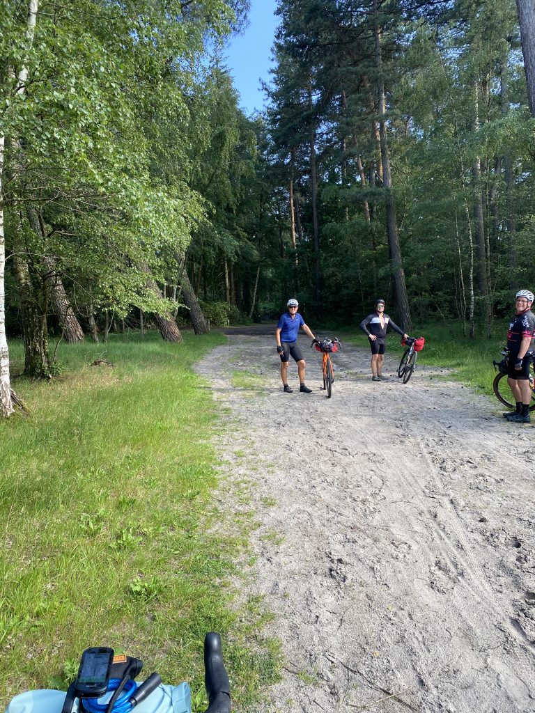
Our ride then took us through Wouw and Huibergen before navigating our way through the Grenspark Kalmthoute Heide, a 6,000 hectare nature reserve that spans the border between the Netherlands and Belgium. The initial forest trail gave way to sandy heathland that was, for a while, impossible to cycle. Our back wheels slipping and sliding causing Andy to take a tumble. It was at that point that we decided to walk. Soon however, we emerged in sight of Ossendrecht and crossed the border at Putte, where there stands the Jewish Cemetery. Eventually we arrived at the outskirts of Antwerp. We stopped to refill our water bottles at a Lidle supermarket. Outside we chatted to a young lady from Scotland who had been travelling around Europe on her bike, now alone but at times meeting friends along the route. I have much admiration for young people who seek to explore by bike, a reminder of my younger self. The bicycle can teach a young person so much about the world, the environment, people and themselves. We wished her luck on her future travels before embarking on our last leg to find our accommodation for the night.

It seemed to take us an age to cycle though the outskirts of Antwerp, with one wrong turn to add to the frustration. Arriving at the Ibis Budget Hotel, just by Antwerp Railway Station, we did little more than get showered, find a noodle bar for dinner, a quick pint in a local pub and then off to bed. Exploring Antwerp would have to wait until the morning. Garmin registered an average temperature of 34 degrees. This had been a great ride with excellent bike lanes, nature reserves, friendly people and beautiful towns and villages. But I personally had felt the heat.

Antwerp has its origins in the Celtic people of northern Europe and then the Roman empire. This Gallo-Roman population dates back to before 1500. Antwerp was later under the control of the German emperor Otto II as part of the province of Flanders, followed by the crusades. It grew in importance under the Duchy of Brabant (1500-1569). During this period Antwerp became an important trading port used by the English and Portuguese prompting the development of its own stock exchange.

When the Dutch revolt against Spanish rule broke out in 1568 the city lost its trade with the Spanish port of Bilbao and in 1576 Spanish soldiers ransacked the city. Known as the Spanish Furry, 8,000 civilians were massacred. The outcome of the Dutch revolt was that Antwerp’s banking was taken under the control of Genoa resulting in Amsterdam becoming the new trading centre. The golden age of Antwerp was over. Later in the 1800s Napoleon tried to revive the port as a possible challenger to the port of London but this was to no avail, in part due to Napoleon’s loss at the Battle of Waterloo. Eventually, Antwerp was taken over by the Belgium state.

Antwerp was a strategic location during World Wars I and II. After the Second World War, between 1956-1965 a Ten-Year Plan saw the port expanded and modernised. The city itself underwent a significant re-branding during the 1990s as a centre of fashion. 

Today Antwerp is known for its Central Train Station, said to be one of the most beautiful in the world, its fine art that includes Rubens, Van Dyck and Van Eyck. There is a tunnel that takes the visitor under the Scheldt River with famous wooden escalators, it hosts a Museum of Book Printing and the city’s oldest building the Het Steen.
Day 3

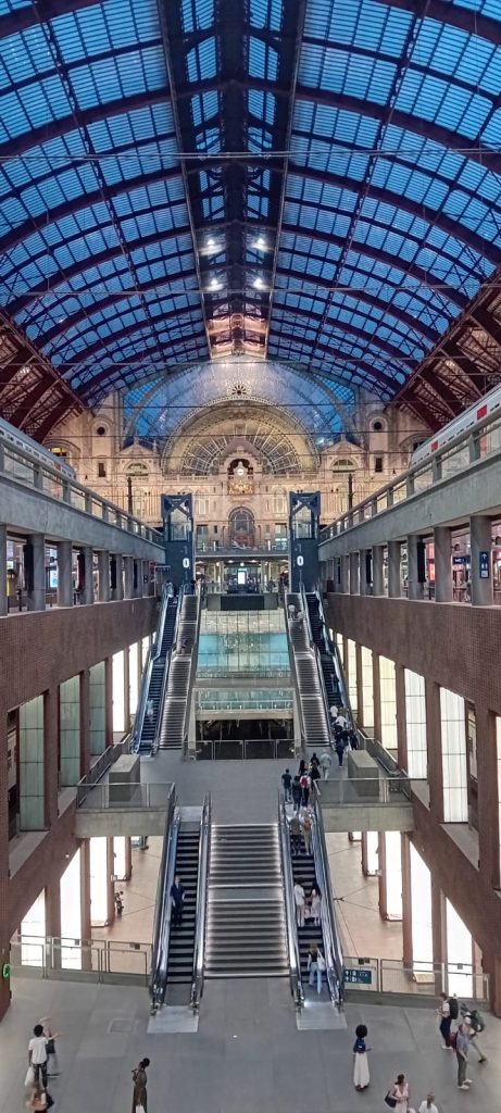
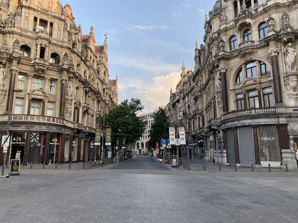
My fellow travellers have come to know me as an early riser. At times a little sarcasm was injected into their observations of my sleeping, or not, habits. This morning a dawn awakening allowed me a look around Antwerp before we set off and just as the early commuters were making their way to work. Many of the buildings are tall and embody the wealth of Antwerp and its status as an international hub for diamond trading since the 15th century. This came about due to the strategic location of its port and the invention, by Lodewyk van Berken, of an advanced method of diamond polishing. The buildings around the diamond quarter are stunning. In recent times the industry has relocated to India diminishing Antwerp’s status within the diamond trade but the legacy was clear to see. The city’s railway station is impressive with multiple levels and grandeur that has to be seen to be believed. It certainly lived up to its reputation.
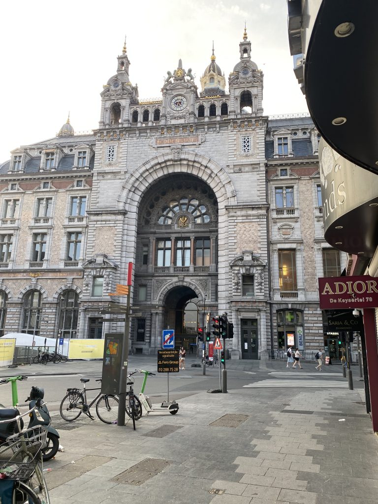
Returning to the hotel I met up with my travelling companions and we agreed to take breakfast at a nearby café opposite the station. This was more than sufficient to fuel the early part of our ride out of Antwerp. As we navigated our way west across the city I had forgotten about the tunnel under the river Scheldt. Maybe this is a sign of ageing because during my pre-tour research I’d deliberately designed the crossing into the route in order to experience both the tunnel and famous wooden escalators. In fact, access to the tunnel on the west bank is via a large lift that took us 26 meters below the water level. We then rode the 1.8 kilometre tunnel until arriving at the exit point. There were two options to return to the surface, either another lift or the wooden escalator. We of course chose to use the escalator. An unusual experience to say the least. Emerging out into the early morning light the day was warming up as we headed southwest towards Ghent.
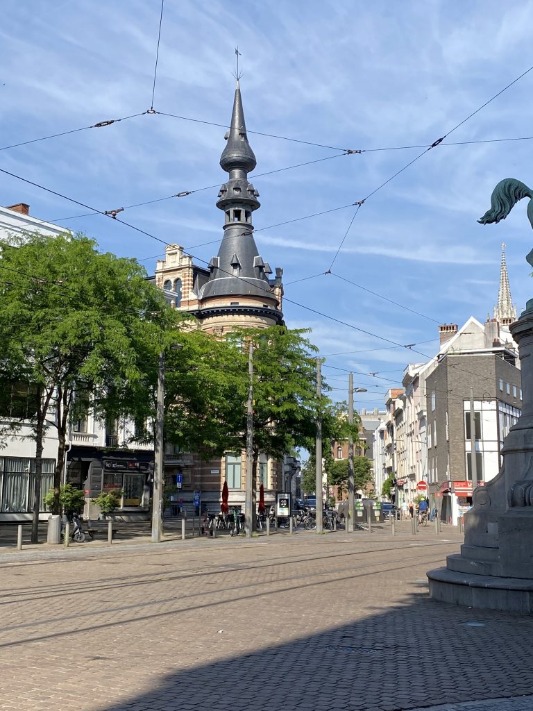
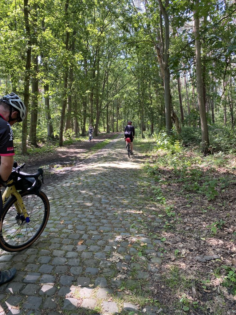
The journey from that point onwards was a rather pleasant affair, mainly cycle lanes in open countryside. The crosswind shifted to an easterly, at times providing a little assistance. We were never into a full on headwind, much to our relief. A café stop was made at Haasdonk after which we experienced our first taste of Belgium cobbles, a short section just before the town of Bergstraat. By this time Dave had already reacquainted himself with Di12 trouble, but we pressed on, once again the intermittent fault with the rear derailleur resolving itself.

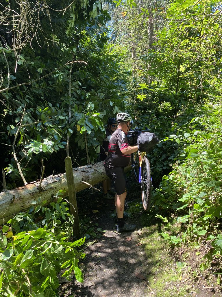
From there it was onwards to Temse and heading towards the larger conurbation of Schrijverswijk before returning to the banks of the Scheldt River. All the time the cycle lanes allowed good, safe progress through towns and into the countryside. Apart from a short single track section where we had to lift our bikes over a fallen tree.

Along the route there were many fallen trees. Luckily we had picked the heatwave rather than the previous week’s storms. Yet more representation of the weather extremes Europe now faces.

We tracked the river for several kilometres until we hit a lane closure. Renovation work was taking place on the cycle track. After looking for diversion options, we could see a cyclist who had passed around the barrier and was making her way in the direction we wished to travel. We deferred to local knowledge and also made our way around the barrier, cycling initially but then walking as the churned up earth became muddy. We eventually caught up with the cyclist who was a woman in her 50s on an electric bike. By this time, we had reached the end of the construction work. A second barrier blocked our passage to the open cycle path, proving a little trickier than the first. This time there was a fence over a ditch which made our covert activity challenging. We also recognised there was no way the lady, on her electric bike, would be able to clamber through without some assistance. She clearly didn’t have that much local knowledge! And so, we formed a human chain of helpers, lifting our own, fully laden bikes, and the electric bike around the barrier, under the fence and over the ditch. Then off we sped with a cheery goodbye having performed our good deed of the day.

We were now on the outskirts of Ghent. Whilst our route only reached the fringes of the city, it is worth setting out the importance of Ghent. Ghent became a manufacturing hub for the wool industry but also boasts a medieval castle with a moat. Caught up in the war between the English and French, England blocked the import of raw materials forcing Ghent merchants, and by default the city, to take England’s side during the Hundred Years War (1338-1345). After victory by the French the city had to cut its ties with England in 1407. Ghent was known as a rebellious city and even rebelled against its own child prince, Charles V. Somehow, in the complex power struggles and allegiances that dominated Europe, Ghent lost its passage to the sea and the economic situation deteriorated. However, the second half of the 18th Century saw revival and renewal. Under Dutch administration Ghent established a university and became an important sea port thanks to the Ghent-Terneuzen Canal. That did not stop Ghent placing itself at the centre of the struggle for independence against the Dutch and the House of Orange. The city developed as a leader during the industrialisation of Europe. Thankfully Ghent remained largely undamaged during World War II.

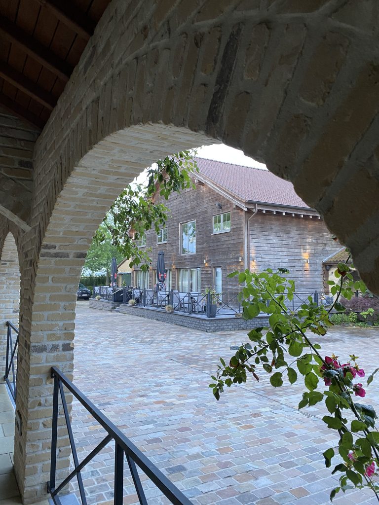
After Ghent we made a final café stop for a beer before rolling onwards to our accommodation for the night. The beautiful Country Lodge Hotel at Moriaanshoofd. We were now in prime Flandrien cycling territory and on checking in the host was keen to tell us how cyclists such as Mark Cavendish and a young Tadej Pogačar had stayed there. Testing his cycling knowledge, we explained we lived close to the home of Tom Simpson, whom he’d never heard of, so we took his claims with a pinch of salt. He had lost some credibility as a cycling fan in my eyes. The hotel was, however, exquisite. Set in stunning countryside with well-appointed large rooms and a smart restaurant. Outside there was a terrace looking out onto the courtyard. The dinner was excellent, despite limited vegetarian options.

Day three had been a mixture of surfaces, a really enjoyable route that all four riders felt a positive vibe for. Beke, the nearest hamlet, was small with few facilities. One of the advantages and disadvantages of cycle touring is that the tourist has to space out overnight stops based on capability and preference. This often means stops in grand cities but also smaller towns and hamlets giving the tourist a feel for city, town and rural life. Developing an understanding for the counties one visits is all part of the experience. Beke is a good example of this. Set in the municipality of Waarschoot and Zomergem, Beke is a hamlet located in the Belgian province of East Flanders. Simply a beautiful setting.
Day 4

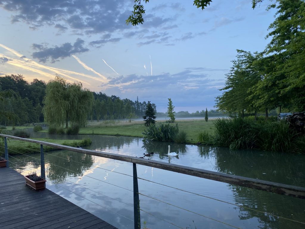
Predictably I had a chance to engage in my early morning walkabout. Meandering around the grounds that were shrouded in a mist from the overnight thunderstorm. Then followed a breakfast, included in the price, a help yourself affair with plentiful choice which set us up for the day.
We set off for the heart of Flanders with the sole purpose of getting a feel for one of the great Spring Classics of cycling. The Tour of Flanders itself, or ‘Vlaandeers Mooiste.’ The Spring Classics are what is known as the monuments of the sport, they include Milan-San Remo, Paris Roubaix, Liege-Bastogne-Liège, and the Giro di Lombardia. In more recent times the Strada Bianche (inaugurated in 2007) also, justifiably, claims to have become one of the spring classics.

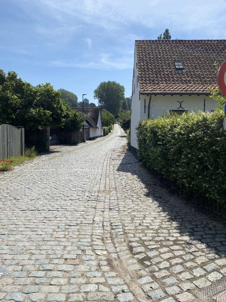
The Tour of Flanders was first held in 1913 and is one of two cobbled classics coming a week before the Paris Roubaix. We hoped to get a taste of the Flanders cobbles but also one of its most notorious cobbled climbs, the Koppenberg. The Koppenberg has been described as the most feared ramp in the region and was first included in the Tour of Flanders 1976. Often, in wet conditions, the steep cobbled climb is known for creating carnage in the peloton, impacting on the overall outcome of the race. Many riders resort to walking part of the climb as it is simply too difficult for them to ride. In fact it is so difficult to ride that the climb was removed from the Tour of Flanders for a number of years.

Some of the greats of cycling, known for their expertise in the great one-day races, have triumphed in Flanders, a few of whom have won it seven times. They include Achiel Buysse, Johnan Museeuw and more recently Mathieu van der Poel.

As the sun burnt the morning mist away we set off on what was to be another blisteringly hot day. As we made our way to collect out luggage and check out Dave spotted a nest of swifts under the lower eves of the hotel. The parents returning frequently to feed their chicks. It was a marvellous spectacle of nature.

Once again Dave’s Di12 was playing up, this time from the outset, but we pressed on. It was only a short ride to Oudenaarde, where we crossed the familiar Scheldt River with the beautiful church of Geboortekerk Pamele standing on its bank.

Not long afterwards we climbed the north, asphalt surfaced side of the Koppenberg. I was feeling strong and very confident putting distance between myself and the group to the top. This was a false confidence that soon evaporated in the heat at the top of the climb. Two riders had just made the accent and whilst we unpacked our bikes (to reduce weight for our attempt at the Koppenberg) I asked the most professional looking of the two if he knew anything about Di12. Having described the issue, he said it’s probably your batteries in the right gear lever. These were small watch type batteries. Having never owned an electronic gear shifting bike I was blissfully unaware of the additional batteries in the brake/gear levers. To be frank I have long since dismissed the whole concept of electronic gears for cycle touring. Best left to the professional peloton in my opinion.

As we stood there, discussing the pros and cons of Di12 a young lad on a 24 inch wheeled racer rode over the crest of the Koppenberg. His legs spinning without strain and only lightly breathing. The six bystanders (ourselves and the two riders who had just climbed the hill) applauded this picture of hope and ambition. Clearly a talented young man who smiled at our appreciation of his effort. I knew we would not be replicating his ability to make it look effortless.
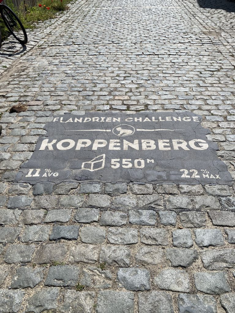
Having lightened our load we descended the Koppenberg, instantly realising that the cobbles made this a much greater challenge than the statistics would suggest. Despite the hot conditions overnight rain ensured that the cobbles in the wooded section remained wet and slippery. I’d read somewhere that there was an underground spring that ensures they always remain slippy. After a pre-climb pep-talk we made our accent, myself leading the way, slowly. Once in the wooded section I was losing traction on my slick tyres. They were the right choice for the majority of this smooth route but here not so. I was zig zagging to reduce the gradient whilst remaining seated for traction. The forty teeth on my single chainset was just not small enough, despite a dinner plate cog at the rear. An unknown rider passed me on a road bike but he soon became unstuck. Reaching the wet cobbles he fell off. I thought, ‘I’ve got you.’ I made it up the steepest section but by this time my breathing was so heavy that I thought better of it and climbed off to walk the remaining section. Dave, who had remained at the top, laughing and videoing my discomfort. Clearly it was payback time for my ridicule of his Di12’s.

It then became apparent that something had gone wrong behind me as the other two were nowhere in sight. Andrew had fallen off, luckily onto the soft embankment, I think Colin had stopped to help. And so, after a summit reenactment for the photo record, we all descended back down again, found a nice café in the village of Melden, that served coffee with chocolate mouse and cake. Dave swapped the batteries over on Dave’s Di12 so that at least he had a fully functioning rear derailleur, and, I licked my wounded pride at having been beaten by the Koppenberg.
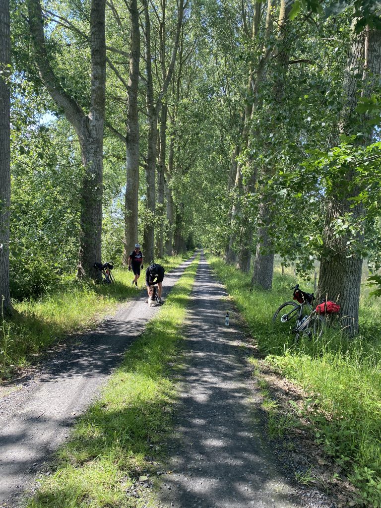
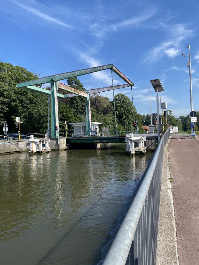
Following our break we returned to the road passing through Kluisbergen and Waregem before finding a final refreshment break in the town of Tielt . We found a bar that served cheese toasted sandwiches. They, and the cold coke were life savers. Whilst sitting outside a friendly local was interested in our journey and asked multiple questions about where we came from and our local football teams. He felt compelled to tell us how funny he thought it was that a town in Scotland went by the name of Twatt. This amused him for some time, he must have said the word Twatt several times, I think he liked saying it. We humoured him and moved the subject on as best we could. It was then onwards to Brugge via Wulfhoek and Oostkamp. The run into Brugge was alongside the river, only turning off to find our Hotel at the last moment. The smart Radisson Blu stands just by the railway station and conveniently placed for a short walk into the city.

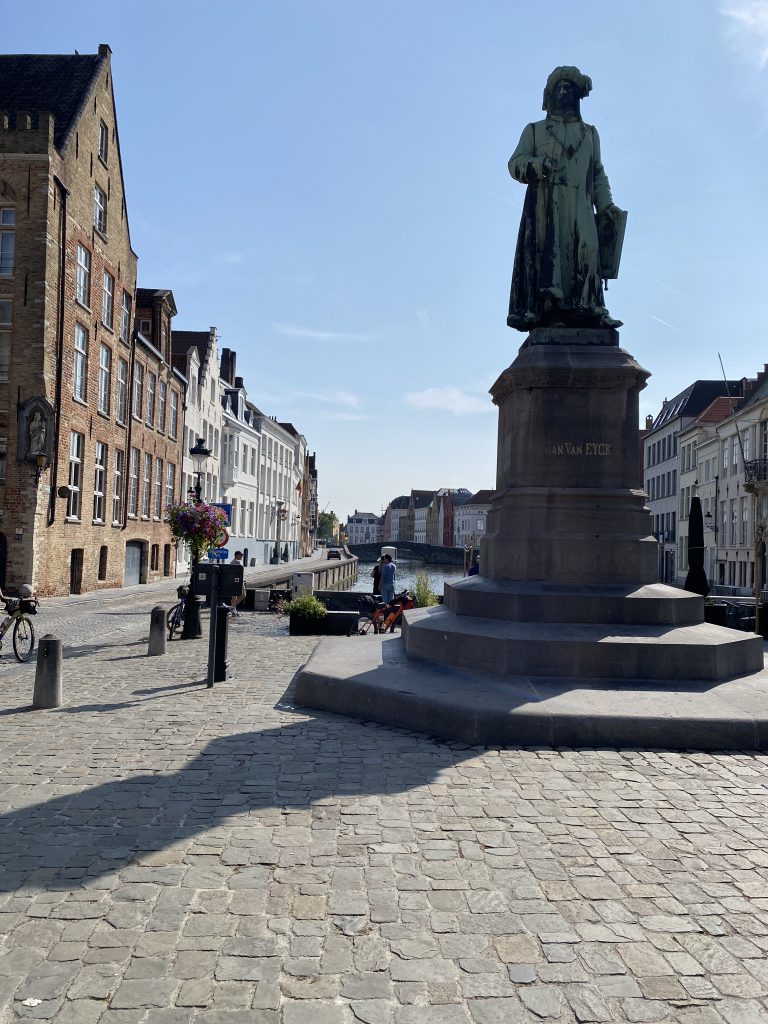
That evening we discovered the most picturesque city imaginable. Tall ornate stone buildings at every turn. Summer sunlight reflecting off the masonry. I have deliberately chosen to use the Flemish spelling for Brugge as this is a Flandrian tour but the French and English spelling is Bruges. The city dates back to Roman times and provided a strategic position. The Romans built a road along a sand ridge bordering Brugge making it a coastal defence against Viking raids. The name ‘Burg’ comes from the Dutch word for castle ‘burcht.’ Under rule of the Counts of Flanders Brugge became a trading centre, thanks to the city’s access to the sea. By the 14th century it became a highly developed trading centre with the world’s first stock exchange. During the golden age of Brugge, the dukes of Brugge invited fine artists and craftsmen to make the city the architectural masterpiece it is today. It is famous for the artist Jan van Eyck. From the late 1400’s the city fell into decline as Antwerp began to dominate trade. The website, Visit Bruges, describes how:

“Fuelled by religious and political differences [and] centuries of wars, changes in power followed. In the midst of all this, Bruges remained a Catholic city and belonged successively to the Spanish, Austrian, French and Dutch empires.”

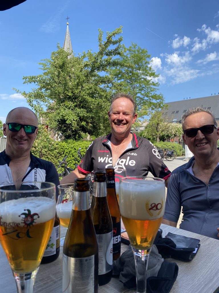
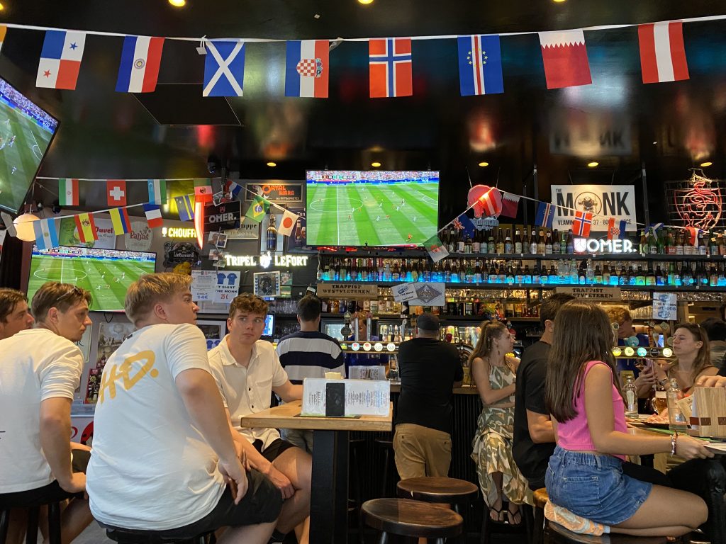
As visitors, we can reliably report Brugge is a city of immense beauty with a diversity of bars and restaurants to serve all tastes. That evening the Belgium football team were playing a group game in the Football World Cup. We had a great evening, sampling the finest Belgium beers and cheering on with the locals. In truth, I can’t even remember who they were playing, but it was for me a rare evening of drinking several beers, lubricating laughter late into the night. Thankfully we had our shortest ride of the tour that following morning.

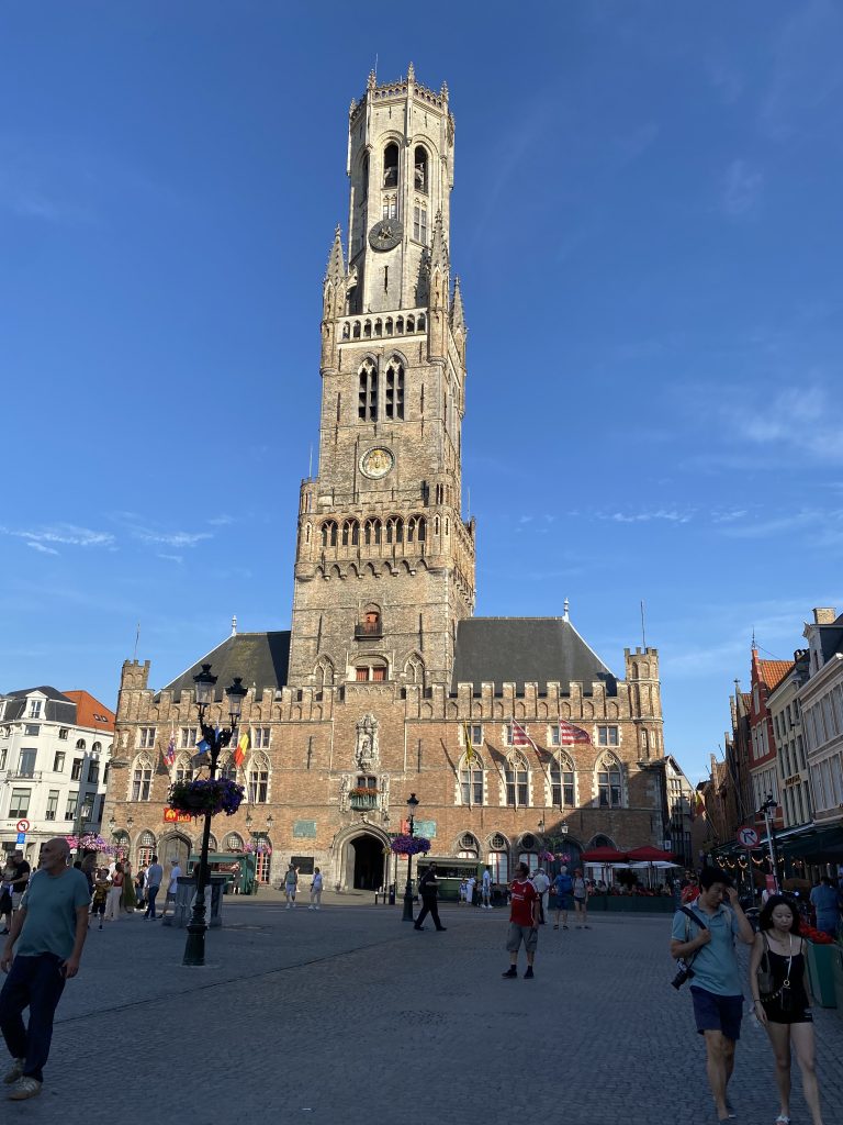
Day 5

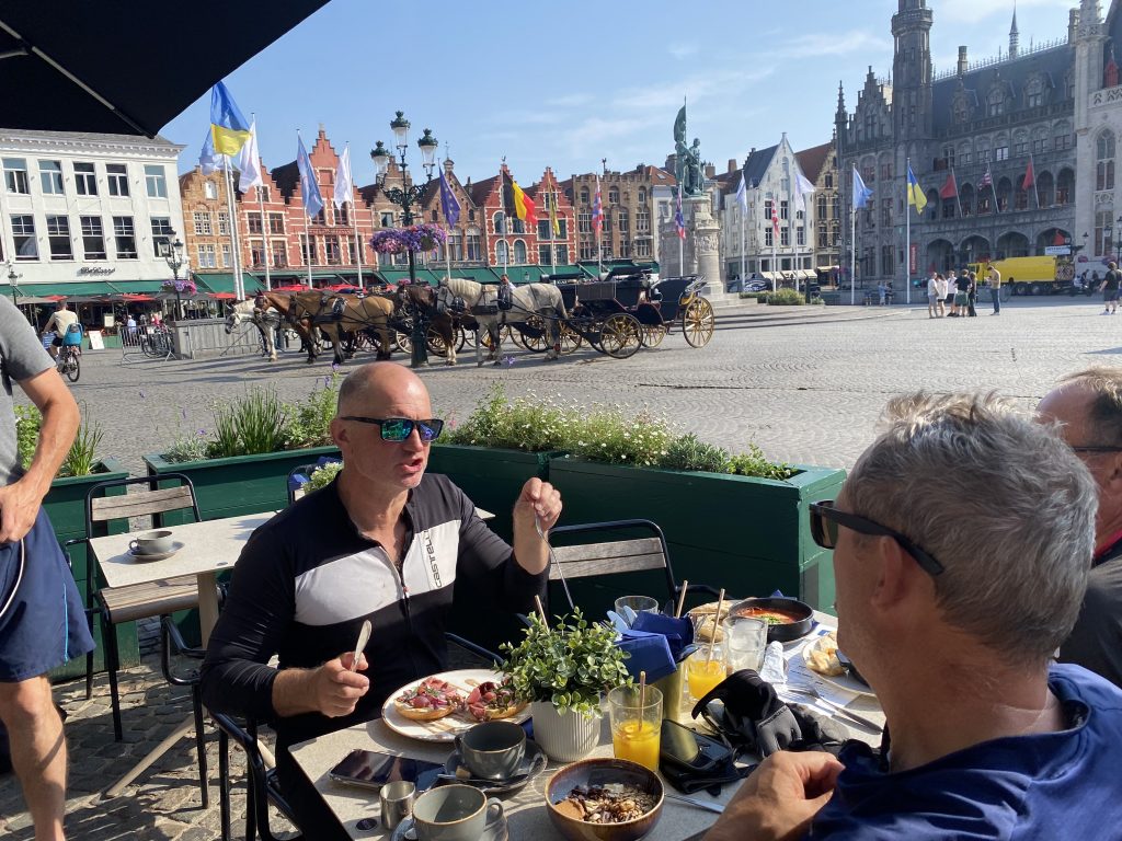
The next morning four blurry eyed riders made their way to the Grande Place, or Market Place, and ate breakfast in the most historical setting I have ever eaten. The Grand-Café faced the Historium Bruges. Horse drawn cabs lined up ready for a day’s work taking tourists around the city and we were looking forward to a short ride to Middelburg.
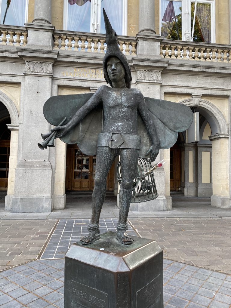
Our route out of the city followed narrow streets and canals until we picked up the straight course of a canal all the way to Sluis. Sluis had a tourist feel to it but was none the worst for that. The cycle track had sections of fine flint that cut through my lightweight tyres triggering the tubeless sealant to fizz on more than one occasion. But the sealant did its job unlike Dave’s set up which, having picked up the large tear on Day 1 was still losing air. From Sluis we then made a gradual curve north to pick up a coastal track that took us to the ferry terminal.

Today I had designed a shorter ride to take account of a ferry ride across the Scheldt estuary. We arrived in plenty of time to allow a pleasant lunch near the ferry port at Breskens. This was proving to be a day of easy enjoyment, apart from a little exuberance on my part, putting in a fast stint on the front as we tackled a straight uphill section, it was nice and relaxing.

We had now returned to the Netherlands. The Breskins to Vissengen ferry was an efficient operation. Our pre-booked tickets were self-scanned and we walked on deck, secured our bicycles and climbed the stairs to the outside seating area, along with everyone else as it was a beautiful and clear day with blue sky and sea alike. There’s something fascinating about watching a vessel make its way out of port. My travelling companions stood and admired the scenery. I sat down near a lady who was travelling to her second home in Middelburg by bicycle, which is normal in the Netherlands. She explained how to take the car would require a much longer road journey over the road bridges. This conversation was prompted by my rather silly question; “where’s the swimming pool?” And, “is there entertainment later?” comparing the ferry to a cruise ship. My sense of humour must align with that of the Dutch as we then spent much of the 30 minutes sail time chatting about our journey and other matters of interest including my impression of Antwerp which was the lady’s birthplace.
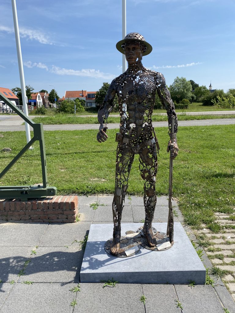
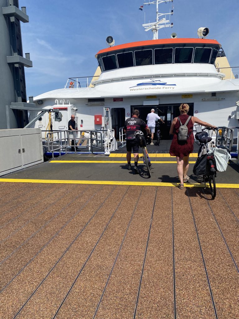
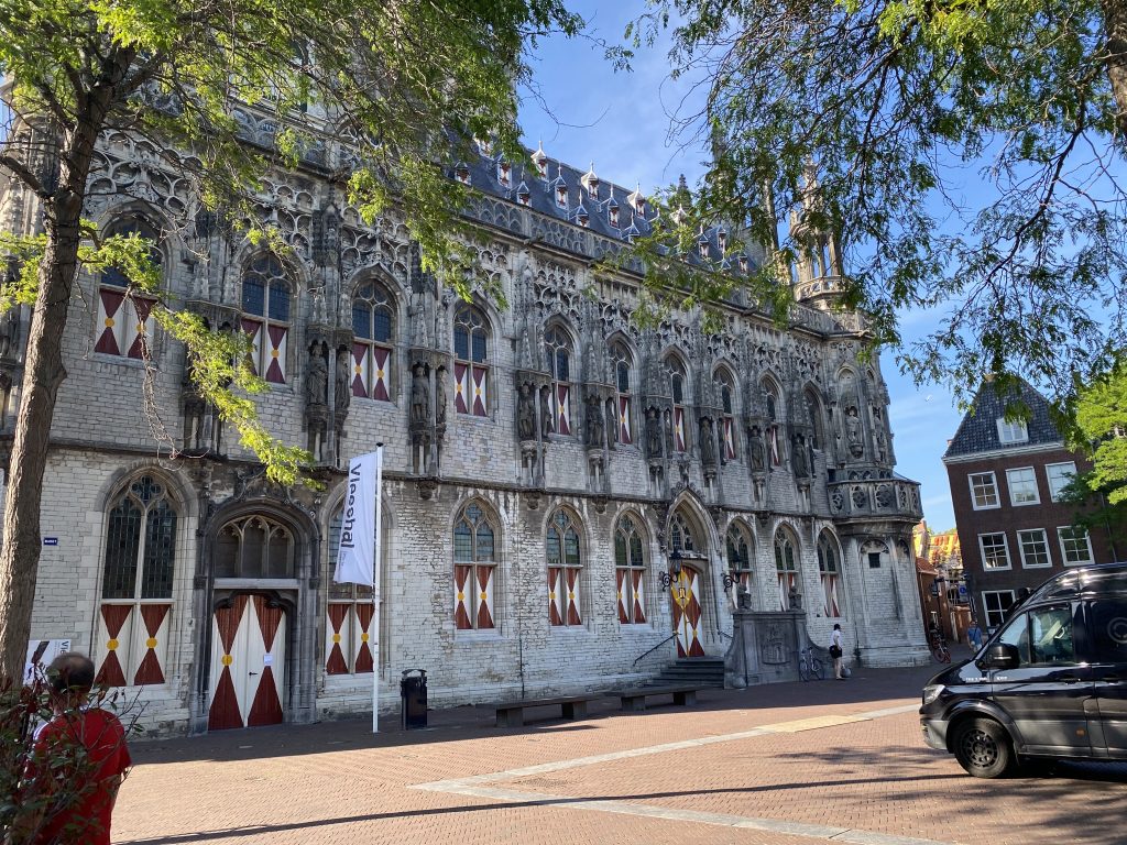
As we alighted the ferry, which was an equally efficient affair, it was a simple matter of picking up the canalside path route into Middelburg. I made a slight miscalculation once there and we had to use Google Maps to find our accommodation, which was a small family home. We had the house all to ourselves for the night, at a bargain price. Once we had all taken turns to shower we made our way to the town square where all the restaurants were. It was still hot as we walked through the streets of Middelburg.

Middelburg sits within the province of Zeeland. The city was central to the lens cutting industry and is widely accredited for playing a key role in the development of the microscope and telescope, as well as spectacle making. Middelburg in fact dates back to the eight century, as a defensive fortification against Viking raids.

The main square was crowded with cafés and restaurants but as always finding a suitable place where there were ample choices for three meat eaters and a vegetarian was not a simple matter. In the end we made the wrong choice. The restaurant delivering a dish that was supposed to be a vegetarian risotto. It may well have been a risotto but the nutritional value was limited. This was a shame and no reflection on Middelburg which is a delightful place with plentiful choice of eateries.

Walking back to our accommodation we stopped by a small bar alongside the canal with small boats moored in a nearby wharf. We chatted and reflected on an enjoyable day. With the luxury of a bedroom each we were assured a good night’s sleep before our return to the overnight ferry in Rotterdam the following day.

Day 6

The main square in Middelburg provided the backdrop for yet another enjoyable breakfast in a market square. If the Dutch did Greggs it would be the Banketbakery. Fabulous choice, fast service and tasty. The staff could not be more helpful and we left with full bellies and warm hearts for our return ride to the Europport. I must say that in both the Netherlands and Belgium we received a warm welcome wherever we went.  Apart from when I cut up a fellow cyclist. The Dutch follow the rules of the road and cycle lanes. This order works well until an unfamiliar touring cyclist from England appears, checking his Garmin rather than watching where he is going. I was correctly ‘told off.’

As we ate and observed the cycle bus of children riding to school it just felt like they had got things right. We popped into a supermarket to buy some supplies for the journey and Dave managed to purchase some batteries for his Di12 levers. He now had use of all 24 gears! Waiting outside we spoke with a young woman about the many cargo bikes we saw. The additional electric power makes them a practical alternative for transporting goods, shopping and small children. The lady explained that they were very expensive, around €5,000. She also told us that the Netherlands is the land of the bicycle and we would be able to use all the bridges on our journey today adding that her friend, who lives in the UK, never cycles now.

There was a cycle shop on outskirts of Middelburg. Dave stopped by to see if he could buy some tubeless sealant to top up what he had lost due to the rather large hole in his tyre. The shop owner recommended a type of reinflation sealant, similar to that which is provided with many cars these days. She was honest, informing Dave that this would work well but his tyre would need to be replaced when he returned home. Dave didn’t much care about that as he’s written off the tyre anyhow. It was turning his run of bad luck had changed.

That’s when disaster struck. I can only guess that the presta valve was incompatible with the canister. It worked but the foam went everywhere. On Dave, his bike and the shop window. Like all good mates we laughed our socks off at his panic, along with some helpful advice like; “you’d better wash the shop front.” Which Dave, being a gentleman, well a gentleman that swears a lot, did. Arriving from within the shop he was armed with a bowl of soapy water to wash the shop and the large amount of expanding foam from his rear hub and disc.

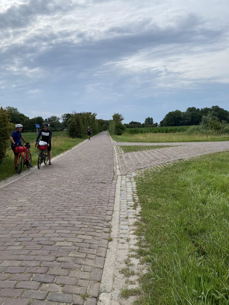
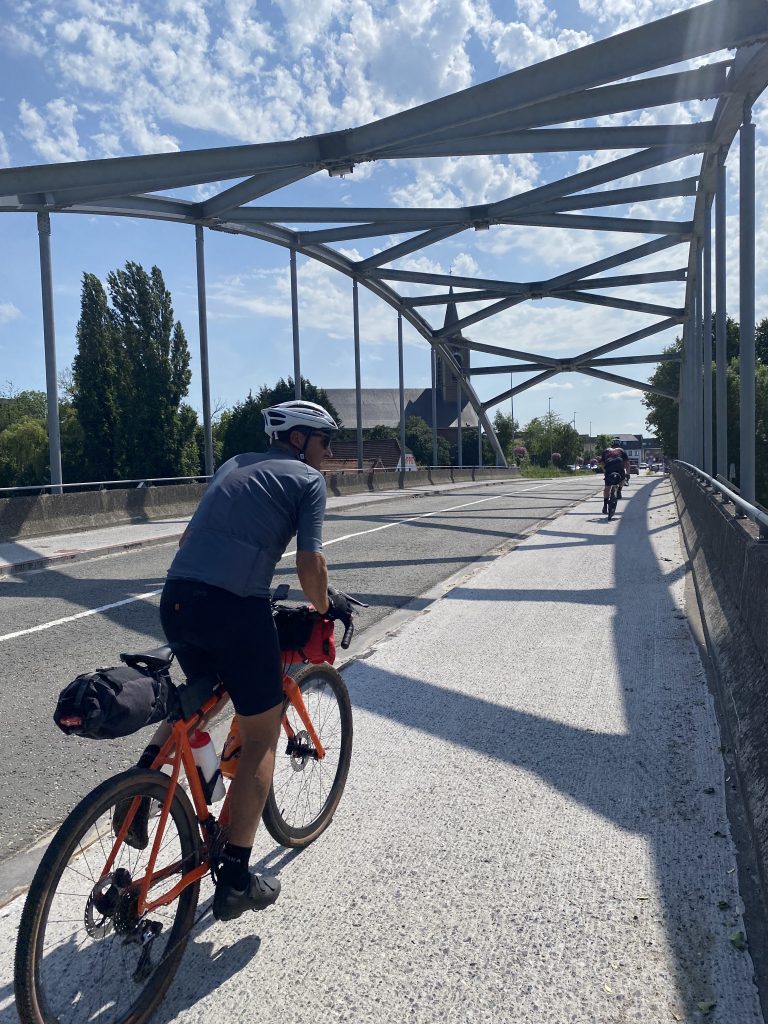
Once we had resolved the ‘expanding foam issues’ we set off for an incredible day’s cycling. Traversing the three expanses of water that made up the remaining estuaries to the North Sea. These bridges are incredible feats of engineering. At one point the road to our left was closed for a funfair. Once again it was a bright sunny and warm day. The wind was largely in our favour and the scenery was spectacular. I had warned my travel companions that if we were unlucky enough to face a northerly wind it would be hard going. I formed this opinion after seeing online videos of the ‘windy time trials’ held on these bridges. The participants are being blown off their bikes or riding at a virtual standstill. It was amusing to watch but I didn’t fancy the experience. Not when we had a ferry to catch at Europort.
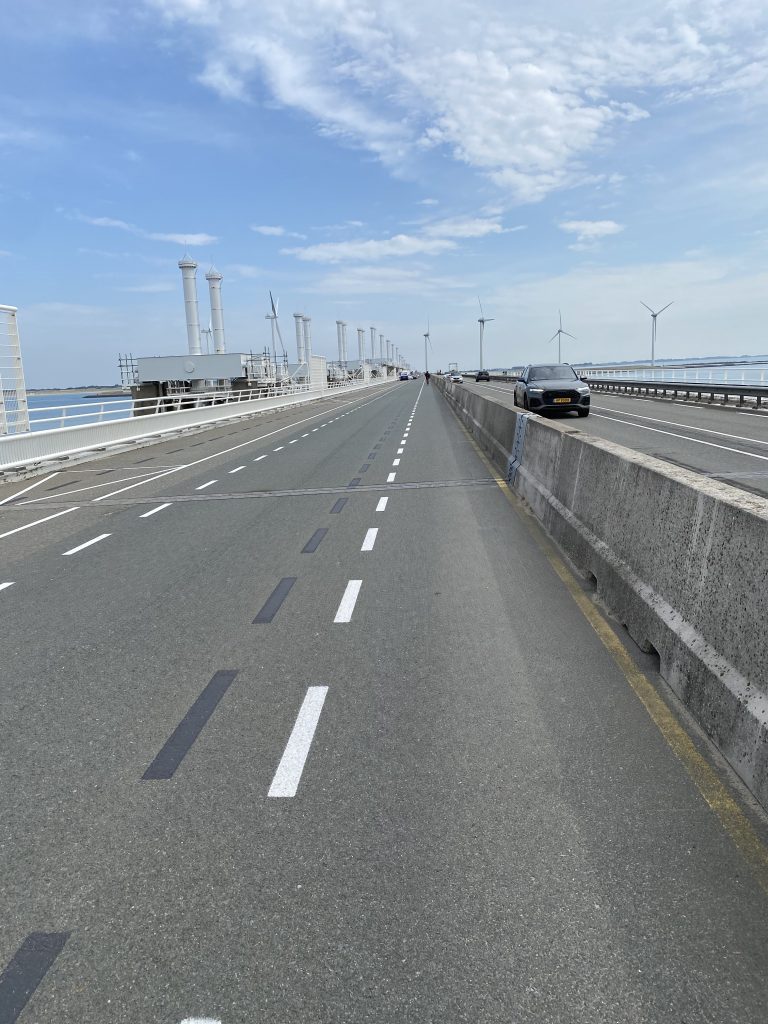
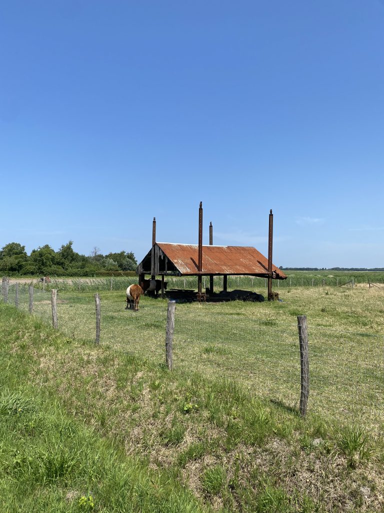
In truth the route provided yet another treat and memory from our Gravel Notts 2026 Tour. Arriving at the port was as previous, a seamless affair. Riding up the ramp Colin was in full flight, a much stronger rider than that of Day 1. Our bikes were secured on Deck 6 and we were showered and eating our evening meal before we knew it. A few drinks and watching the England World Cup game at nine. Struggling to stay awake until the end of the match. Lights out, next stop Hull.

Day 7 Return Home

At around 05.30 the announcement went out that breakfast was being served. We all met up in the restaurant and fuelled our bodies for a long ride home. The friendly banter was undiminished. In fact, it was replenished with new material acquired on each day of our ride. With our bikes packed up we were through passport control in reasonable time and on our way home. It was forecast to be the hottest day of the year in the UK with temperatures well in excess of 30 degrees. This in mind we all agreed that the sensible option was to follow a reverse route of our outward journey to Hull. To take on the planned 140 kilometres in the heat risked spoiling what had been an excellent tour. There is a well-used phrase, quit whilst you’re winning. So, we headed for Worksop to catch the train back to Nottingham. Still a ride of around 100 kilometres. That is if I didn’t take us down any closed roads or detours.

We were then met with the sad predictability of a cycling life in England. As we made our way out of Hull locals shouting abuse at us from the safety of their car, a guy overtaking us and then cutting left across my path as I led the group along a cycle path. A cycle lane that was the usual painted line in the road. The token effort. All negativity aside, once we were out of Hull the route became much more enjoyable. Learning from our mistake on the outward trip, avoiding the closed bridge and making good progress.

The heat was intensive and we were all flagging. It was a relief to arrive at the same excellent café near Misterton that we’d patronised on the way out. Four cold bowls of salad and rice with plenty of ice cold drinks. Exactly what was required.

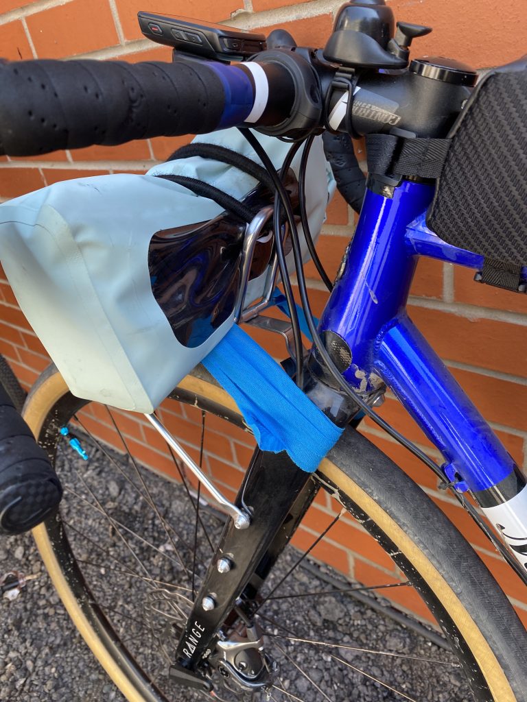
After the lunch stop we arrived at an off road section of the route near Flixborough (north of Scunthorpe). There was a rocky section alongside a quarry which contributed to the upper bolt to my front rack searing off. With a team effort, a cable tie and some tape, we managed to secure the rack enough to get me home. This led to some banter as we totalled up the mechanicals each bike had experienced. Dave’s total being by far the greater with Colin and Andy experiencing none and myself just the one. Colin and Andy put this down to the superiority of their Sonder machines. Dave exclaimed that his mechanicals had been more masculine in nature. This misogynistic perspective of cycle mechanics sent me into a belly laugh that nearly killed me from the resulting choking fit whilst the other three looked on wondering whether or not to call an ambulance.
After Lound, and a repeat walk through the corn field, the route into Worksop was largely off road through Barnby Moor and beyond. A fast gravel section that was flat or downhill meant we were soon turning into the station carpark at Worksop.

We arrived at Worksop Station sometime after 14.00. It was just as well that we did. Trains were being cancelled due to the heat. The 14.36 was still running but the train after that had been cancelled. With one train normally scheduled every hour it would have been some wait had we have missed the 14.36. We were all ready to get home. Alighting the train in Hucknall I bid farewell to my travelling companions who were in turn alighting at Bulwell and Nottingham stations. I felt both joyful and emotional that the trip had come to an end. As always, it would take some adjustment back into regular life.

In summary

This was an excellent trip. In normal conditions it would have been a relaxing tour of 658 kilometres spread over seven days with little in the way of elevation gain. The heat however, made it a much more challenging affair. I guess that this is the new normal as the Earth warms. Highlights were definitely the safety of the route, incredibly well thought out cycle lanes, low traffic levels and the variety of bridges, ferries and picturesque small towns. So often the thing that I enjoy the most is seeing the ‘real’ places. The Koppenberg is an icon of Flanders so I was pleased to make its acquaintance if not conquer it.

The magnificence of the buildings in Antwerp, the river tunnel leaving the city, the beauty of our accommodation in the Flandrian countryside, the friendly and beauiful Middelburg and of course Brugge, probably the most impressive, whilst remaining compact, city I have ever visited.

Finally, it is worth mentioning that rolling on and off of the ferry from Hull, and back again was far less stressful than taking a packed bike box to an airport. It’s definitely a case of, will do something similar again.

And of course, cheers to my travelling companions.

Ride data

Day 1: Worksop to Hull – 104.55 km – elevation gain 520 m

Day 2: Europort (Rotterdam) to Antwerp – 124.66 km – elevation gain 283 m

Day 3: Antwerp to Beke – 94.76 km – elevation gain 247 m

Day 4: Beke to Brugge – 89.22 km – elevation gain 414 m

Day 5: Brugge to Middelburg – 57.43 km – elevation gain 128 m

Day 6: Middelburg to Europort – 90.39 km – elevation gain 234 m

Day 7: Hull to Worksop – 97.27 km – elevation gain 505 m

Total distance: 658 kilometres

Total elevation: 2,331 meters
Posted on

A day in the National Forest

Just south of Derby and east of Burton-upon-Trent lies the National Forest. A project to transform 200 square miles of post-industrial land into a forest linking the remnants of Charnwood and Needwood Forests. It’s an area I am familiar with having cycled that way for many years on the road bike. But now I was motivated to create a one-day gravel ride linking all the recommended trails advertised on the National Forest’s website.

I have great admiration for the National Forest. Not only for the regeneration of areas within the former coalfields, an industry my family has a long association with, but also the achievement of planting 10 million trees. A quick estimate suggests that 10 million trees would absorb 240,000 to 250,000 tonnes of carbon dioxide each year. Not to mention the benefits to biodiversity.

There is also a personal connection. Recently after the passing of my father, my sister sponsored an oak tree to be planted in his honour. It now stands on the site of the former Minorca Colliery, within the National Forest. An oak was chosen as the commemorative tree because of its historic association with Nottinghamshire, my parents’ home for 89 years. The great oaks of Nottinghamshire were used to build some of Nelson’s fleet, relied upon during the Industrial Revolution and of course for house building. And Nottinghamshire is associated with three famous Oaks. The Major Oak, Pilgrim Oak and Parliament Oaks stand within the ancient royal hunting forest of Sherwood (there is a GN route linking the three trees).

Also important for the decision to select an oak is the longevity of the oak tree, which can live over a thousand years, and the diversity of habitat it provides. The Woodland Trust states that 2,300 species are supported by oak, 326 depend on it and 229 species are rarely found on trees other than the oak. And so it is, Red Ron Oak, now just a large sapling, stands proud on the former colliery site southeast of Measham.

The Ride

I picked the perfect spring day to explore the National Forest by gravel bike. The bright azure sky was accompanied by warm temperatures. There is a convenient car park located in the village of Ticknall. It is provided free but donations towards its upkeep are requested by the parish council, to which I duly obliged.

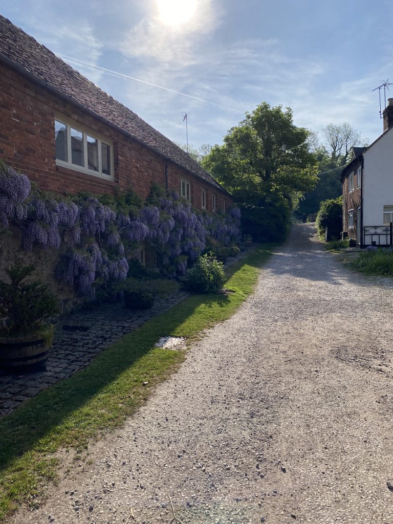
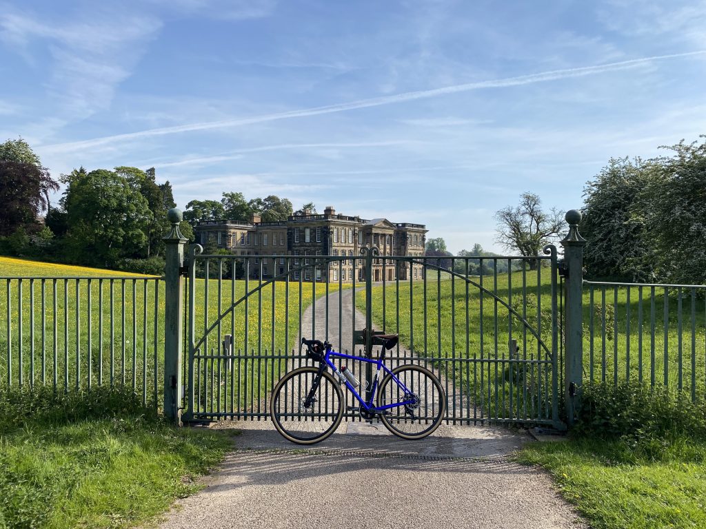
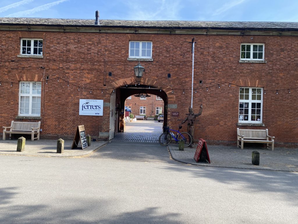
Riding out of Ticknall I was immediately greeted with a short stretch of gravel, accompanied by a cottage festoon with wisteria in full bloom. This burst of colour led me to a gated entrance and onto the roads of Calke Abbey. Early in the morning the Abbey grounds were quiet, meandering towards the Ferrers Centre for Arts and Crafts where the first opportunity of many for a tea stop presented itself. Just 6 kilometres into the ride, it was too soon for me so I continued onwards.

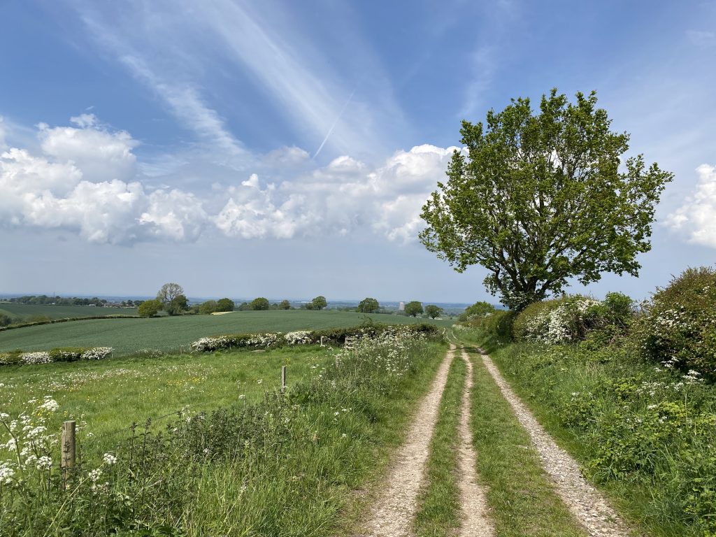
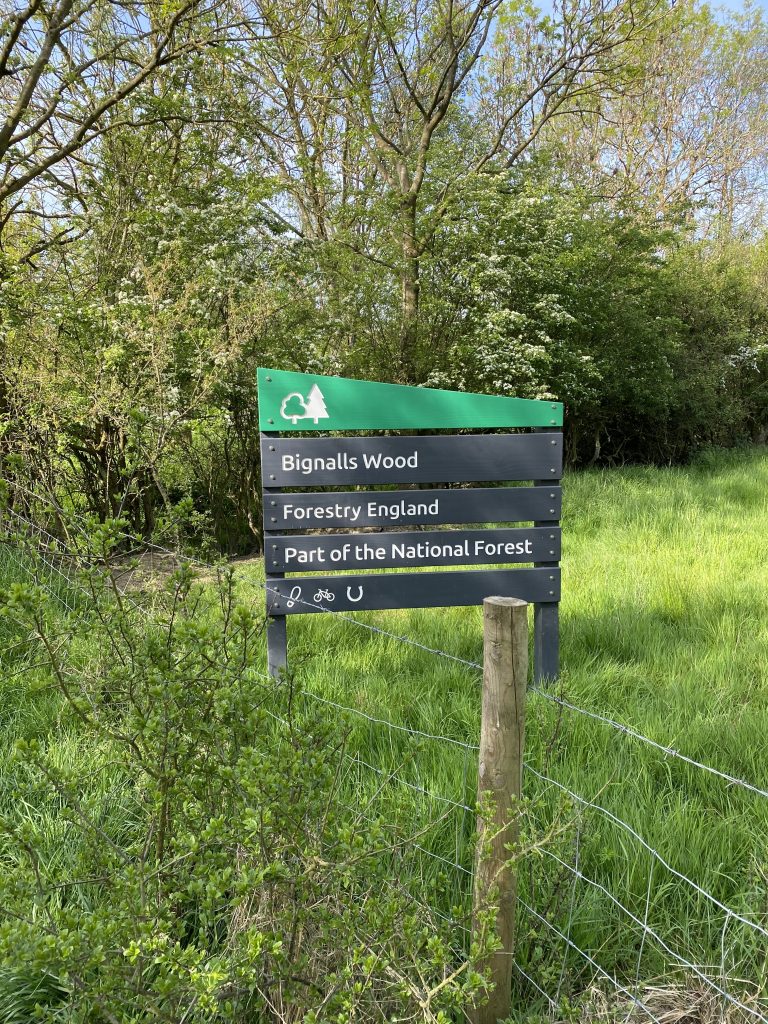
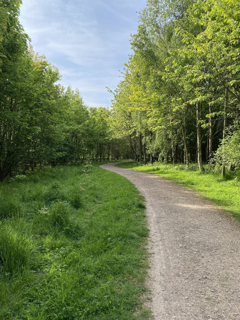
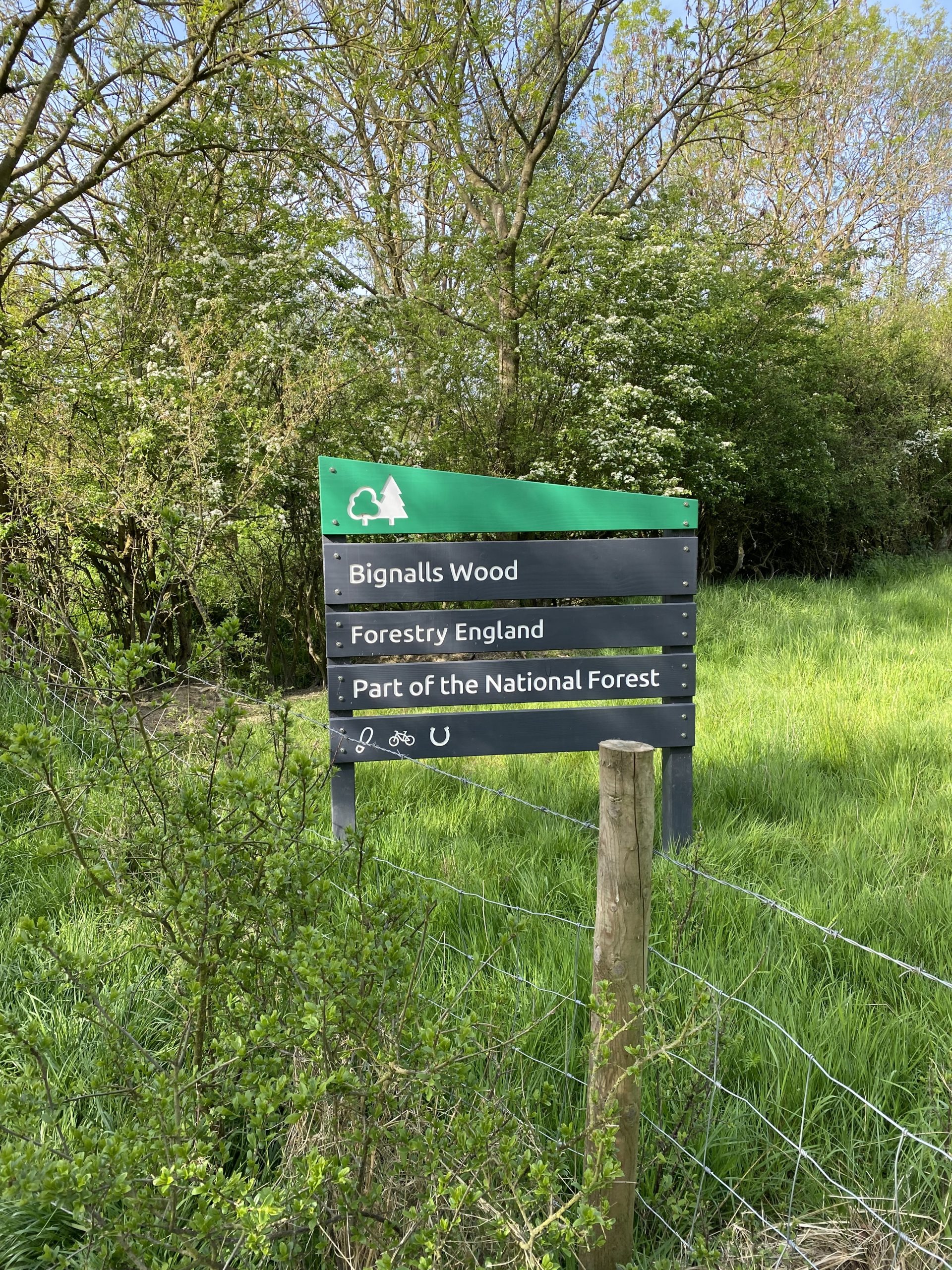
Leaving the Ferrers Centre was only a short hop to Bignalls Wood. According to the sign, the woodland is owned by Forestry England and is of course part of the National Forest. This young mixed, broad leaf woodland provided perfect cover as the morning warmed. Importantly for the gravel biker, it provided four kilometres of winding smooth gravel. In fact, I would say that this was the most enjoyable section of the ride for pure gravel biking pleasure. There were two modest climbs on this section, the longest being just under a kilometre. Nothing to particularly trouble a reasonably fit gravel cyclist.

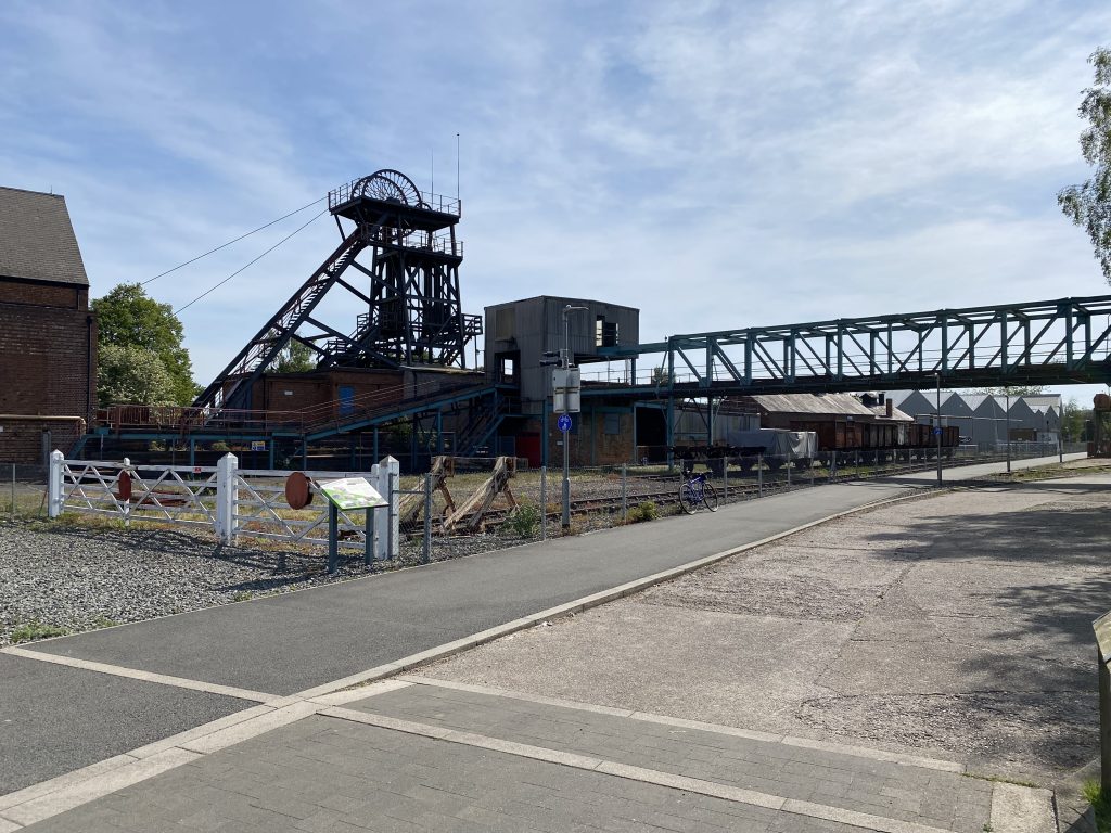
No route can be perfect and the next section involved a main road and an island over the A42, which was not to my liking. However, a short respite was provided by a detour around Farm Town to avoid part of the main Ashby Road, before arriving in Coalville and Snibston Colliery Park. Another café opportunity but also an interesting reminder of the area’s mining heritage.

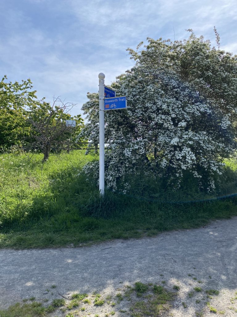
Once more, I was able to escape the tarmac. Heading out of Coalville through a developing housing estate I was able to pick up some more gravel in the form of National Cycle Network (NCN) 52, known as the Bosworth Trail. A section of country lanes then led me to a trail and onwards to Sence Valley Park, providing both woodland and small lakes. I became a little lost trying to access the park itself and found myself on the first of two short ‘hike a bike’ sections. Sense Valley park was nice riding but it was a reminder that, especially on a sunny weekend, this area is not wilderness and many families and dog walkers were out enjoying the countryside. So, it’s definitely not a place to put your gravel racing head on. Riding with respect for the safety of others is paramount.

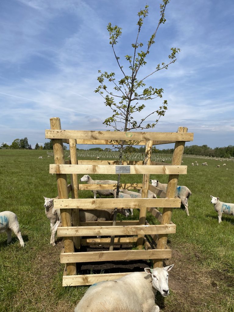
Exiting Sense Valley Park into the village of Heather, I took Swepstone Road before taking a left along what appeared to be a restricted byway that ran beside a newly planted area of the National Forest. This is where Red Ron Oak is located and I took the opportunity to view with pride the specially selected oak dedicated to my parents, and stop for a picnic. Although by now, my Quorn slice sandwich had begun to warm up a little. It was just as well a sturdy crate had been assembled around the sapling oak because the sheep seemed to like resting around the tree. In fact so much so they were reluctant to leave even upon my arrival.

I was now 31 kilometres into the ride so not even half way. This being early May the hawthorn was in full bloom adding a blanket of white flowers to many of the hedgerows and demonstrating the English countryside at its best. Transversing Measham and then Donisthorpe, I cycled a loop of Hicks Lodge that includes a cycle centre and, yes, another café, which I once again bypassed. I Idid however, stop at the neighbouring Moira Furnace Museum café.

After Moira, returning briefly to the outskirts of Donisthorpe I was able to pick up a disused railway to make rapid progress, after a slight route miscalculation, towards Linton and then the Forestry Centre at Rosliston. The centre was pleasantly busy but also provided an excellent final tea stop, 53 kilometres into the ride.

Setting off for the final third of the ride, the hills came thick and fast, so just as well I’d left something in reserve. Swadlincote itself was rather lumpy and not my choice of cycling route. But, needs must and I made the most of the cycling infrastructure wherever available. Making my way out of Hartshorne I faced the challenging climb of Brooke Street. Marked as ‘Easy’ on the Garmin route it was anything but. The climb is a modest 1.46 km long with an average gradient of 4.6%. However, the nice steady gradient had a kick in its tail with a 13% section that tested my tired legs towards the end of the climb.

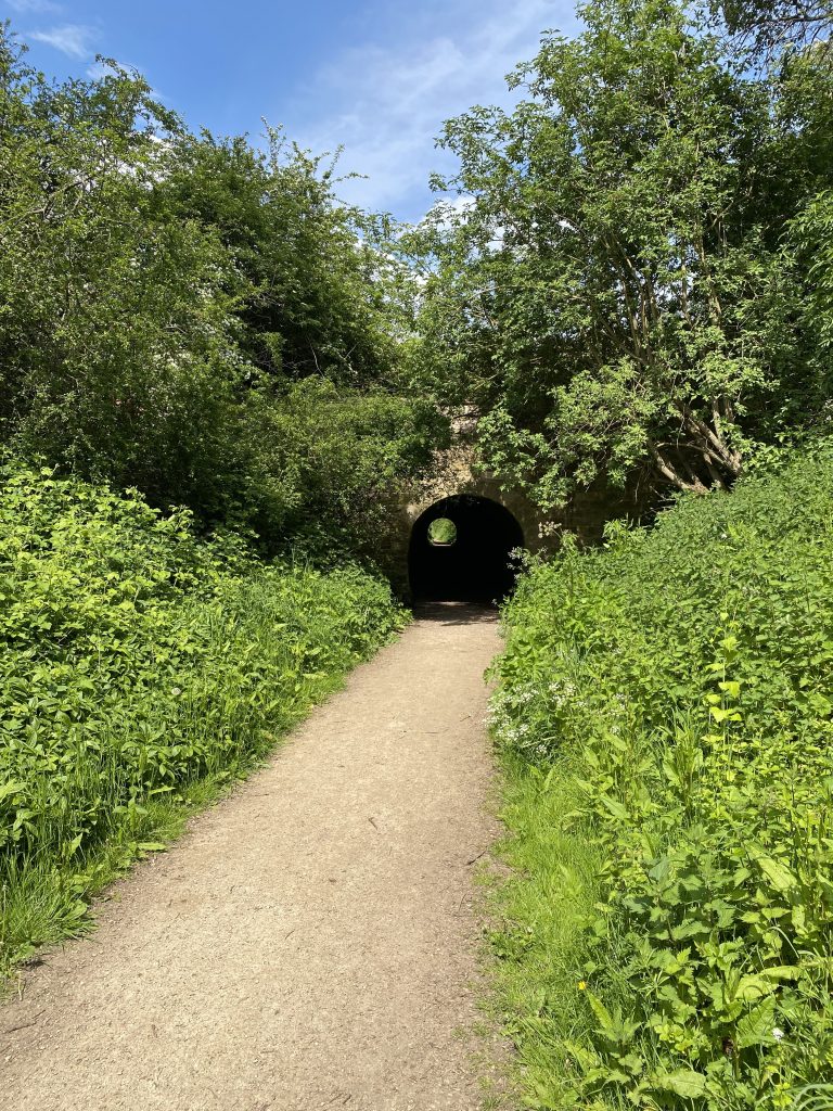
The ride now had a more rural feel for the remaining 20 kilometres or so. Transversing Foremark Reservoir, I then picked up the Tramway Trail back into the grounds of Calke Abbey. The Tramway Trail was formally a horse drawn tramway linking Ticknall to Ashby. It was used for transporting bricks and lime from the nearby quarries to the Ashby Canal. Importantly for me it was a nice gravel route back at the start of the ride in Ticknall. The most interesting features of the Tramway Trail are the narrow tunnels that the trail passes through.

And so, I was back at my starting point. In summary this was a most enjoyable ride. With the exception of a busy traffic island with the A42 and the route through Swadlincote. Both matters I could address should I ride the route again, by extending it into Charnwood to increase the distance and help locate a quieter lane by which to navigate over the A42, north of Lount. And turning back on myself at Rosliston, finding a route south of Swadlincote. Other than that, the ride offered country lanes, interesting trails and plenty of historic places. A big well done to the National Forest.

If you wish to explore the National Forest by gravel bike my route can be viewed below.

If you have enjoyed reading this blog you may wish to visit the Gravel Notts Bookshop.

Posted on

Cycling Gran Canaria – 2025

Gran Canaria is a great place to cycle. The wonderful all year warm climate and the mountainous terrain make it an ideal place for road, gravel and mountain bikes alike. For those reasons it’s a favourite winter training location for many of the professional teams and triathletes. What’s fascinating about the island is its diversity of terrain with numerous climbs that would not look out of place in any grand tour. My favourite being the Serenity climb (GC-605) with its multiple switchbacks through a pine tree lined mountain pass emerging at Ayacata. At the time of writing, the GC-500 remains closed between Taurito and Puerto de Mogán due to rock falls. The best advice is to take your bike on a ferry from Puerto Rico to Puerto de Mogán before heading inland to Mogán village on the GC-200, then taking a right turn up the Serenity climb and from the top of the climb descend back down hill to the coast at Arguineguin down the beautiful Soria climb.

Many other climbs in Gran Canaria deserve grand tour status, surely one edition of the Vuelta a España will include the island? The climb to Soria, mentioned above, is popular for good reason, the Alpe d’Huez of Gran Canaria. The ride to the highest point of the island at Pico de las Nieves is close to 2,000 metres in altitude and then there’s the terrifyingly difficult Valley of the Tears (GC-606), called so for obvious reasons. The latter being a climb I just had to do once, but it was best left as a feather in the cap, never to be repeated.

My trip to the island in December 2025 was the first visit with a gravel bike. I made a technical error thinking that a set of 40 mm slick tyres would be enough for the dry gravel whilst providing a fast rolling platform for some of my favourite road climbs and descents. However, it turned out to be an unusually wet week in the mountains which made things a little sketchy on the trails at times.

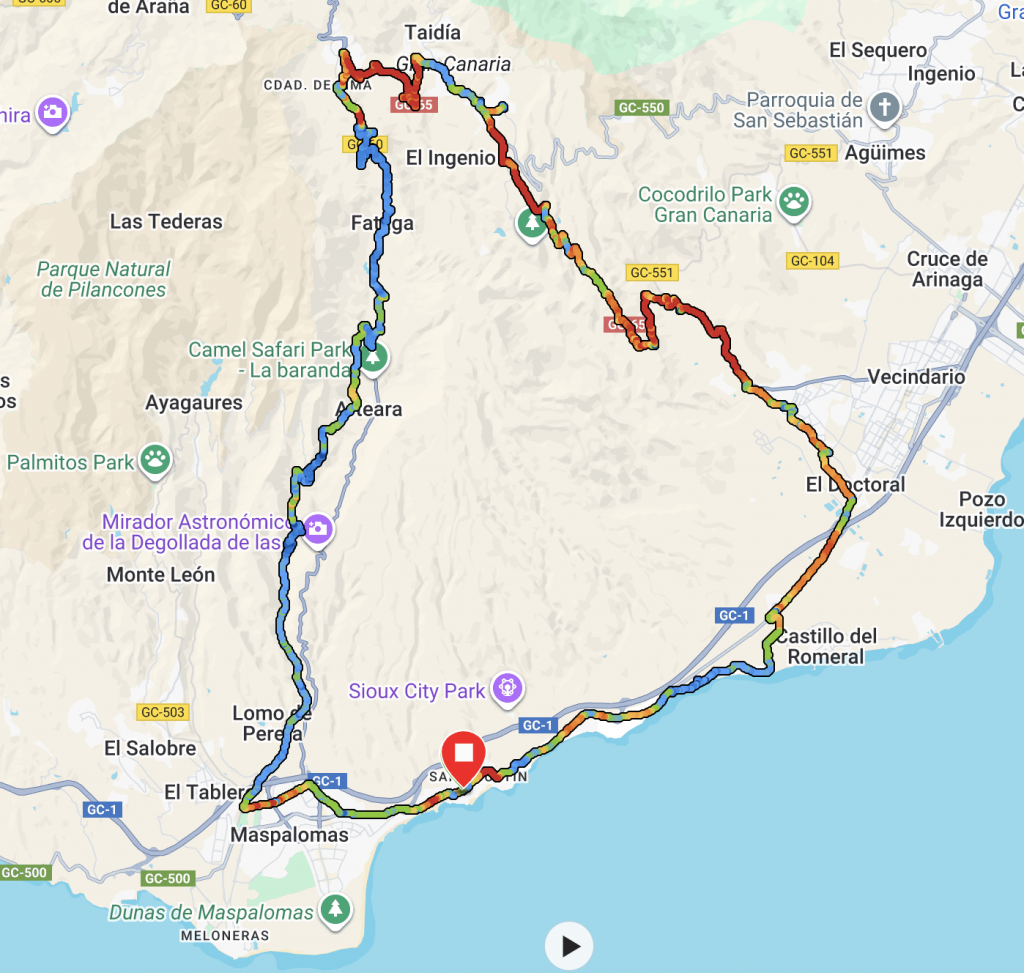
I set out with three main objectives; the first was to take the dirt road (GC-602) from the dam at Ayagaures to the GC-60 south of Fataga. The second was to ride the trail from San Fernando, North to Fataga and then ride the climb to San Bartolomé  before visiting Santa Lucia and down the mountain to the coast utilising the road, although there is a gravel option. And finally, I wanted to ride some unfinished business, the gravel section of the GC-604 to Chira emerging on the GC-60 north of La Plata.

Ride 1: GC-602

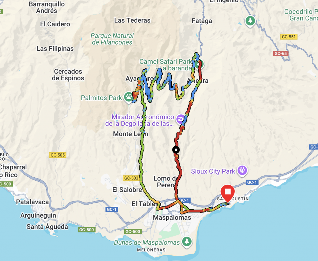
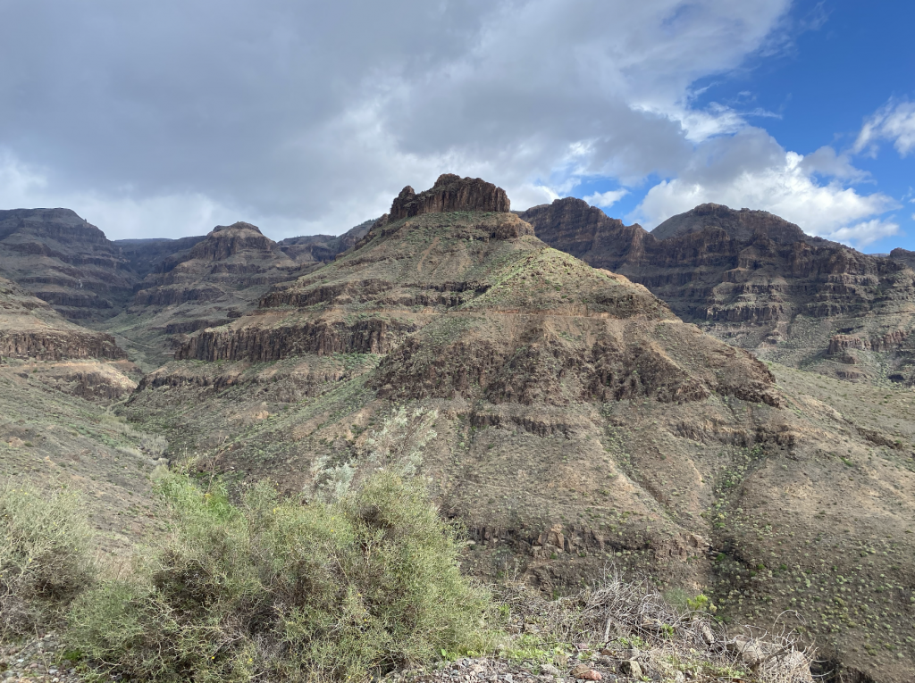
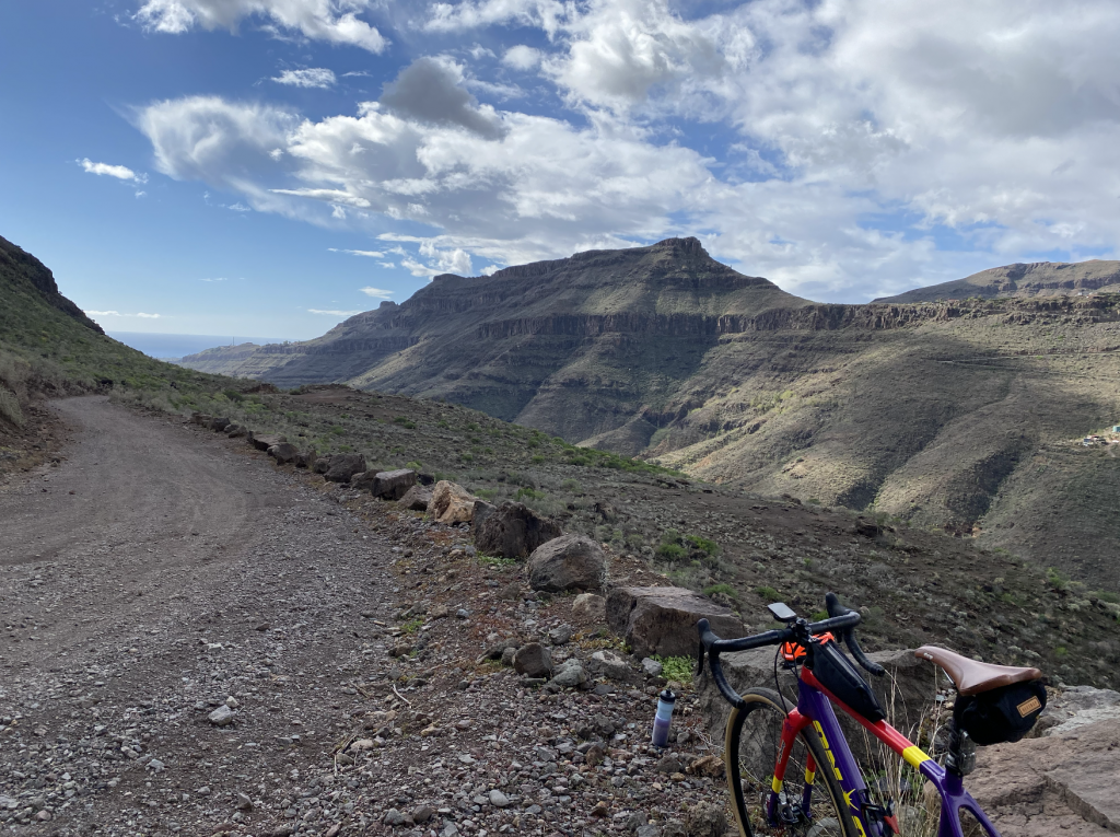
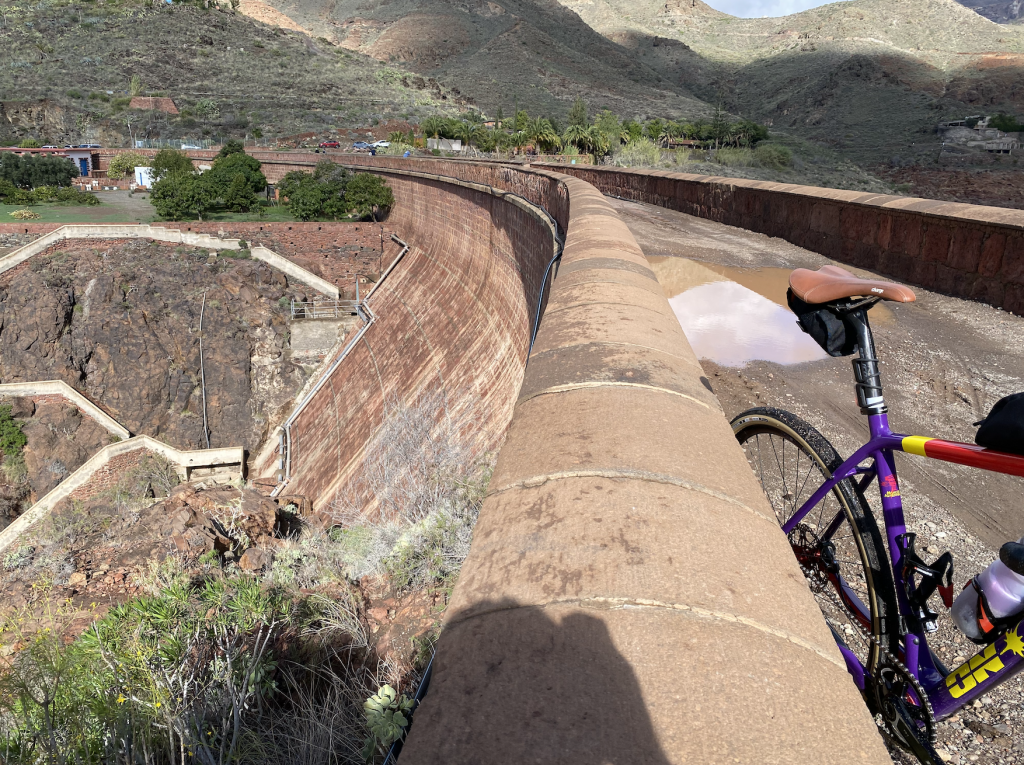
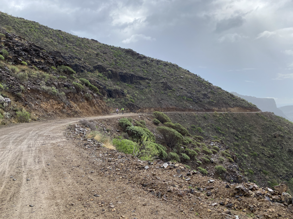
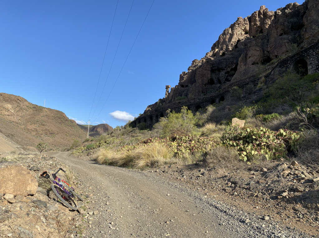
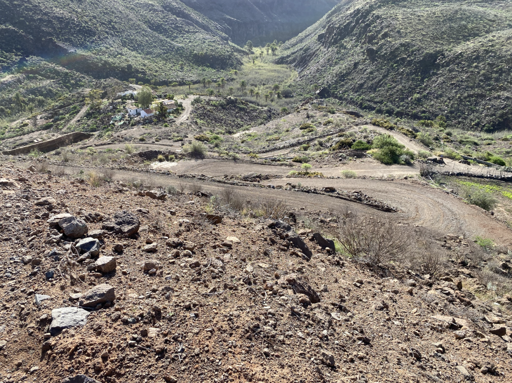
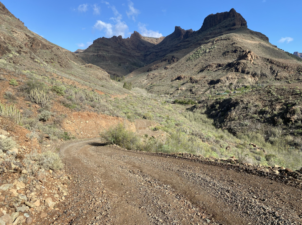
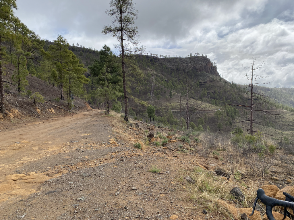
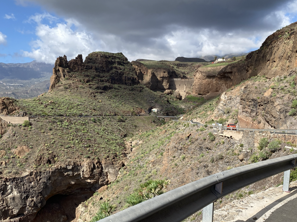
Before tackling the gravel on Ride 1, I made my way to Ayagaures to ride the tasty little road climb located there. It was for old time’s sake, a road climb I would undertake on my regular mid-week pre-work rides. I guess I wanted to see how much I had deteriorated since my last attempt in August 2021 when my Strava segment was 13.38. All I can say is either gravel bikes are very much slower or age is taking its toll, probably both. The GC-602 leaves Ayagaures village after the first few hairpins of the climb, taking a double right to cross over the top of the dam. It then climbs constantly but not brutally most of the way to the GC-60. The views are one of spectacular volcanic structures that were greener than normal due to the recent rains. Stopping at the first highpoint to take few pictures and eat a bar I was passed by a Swiss e-biker who stopped for a chat. After moving on the weather started to produce a few spots of rain requiring my rain jacket to be utilised. This was no matter as the vistas were amazing. Having ridden the roads in Gran Canaria many times I was not expecting to be even more impressed by the wonderful vistas but the gravel bike delivered an all new perspective of this most dramatic of landscapes.

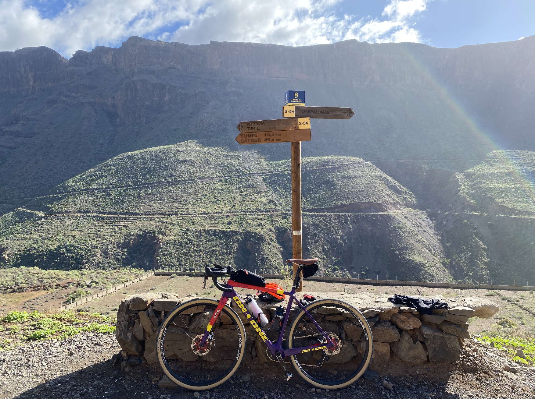
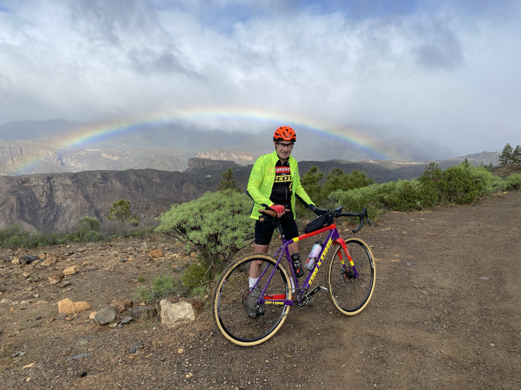
At that point a met a nice couple from Hull also on a gravel cycling break who were agreeable to taking a few pictures for me (vanity got the better). Eventually I emerged onto the GC-60 south of Fataga with just one more climb, a rather challenging road climb to the Mirador Astronomico Degollada before chasing the sun on the final descent into Maspalomas and a left turn to my base for the week in San Agustin. The pictures speak for themselves.

Total distance: 58.44 km

Maximum altitude: 490 meters

Elevation gain: 1,174 meters

Ride 2: Gravel road from San Fernando

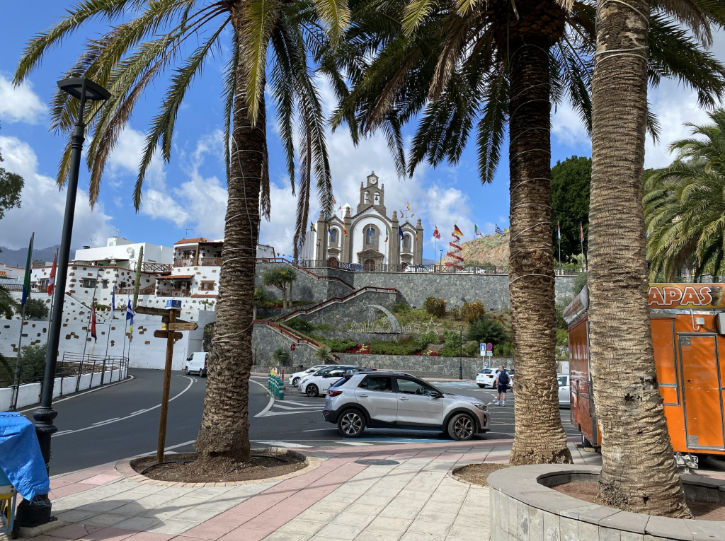
On Ride 2 I made my way from the resort to San Fernando passing along Avienda de Galdar where the numerous cafés where busy with locals taking coffee and breakfast. The route then diverted toward the local hospital, ‘Centro de Salud’ from which a gravel trail heads north along the valley before climbing out towards Fataga eventually joining the route ridden the previous day.

The first section was distinctively stoney making for slow progress. After passing through a fenced off section the surface improved and for a while good progress was made. Good progress that is until I began to ride out of the valley up towards the GC 60. That was the point where the gradients became challenging with a two Category 4 climbs averaging 11.3% and 8.4% respectively followed by a Cat 1 averaging 5.3%. Reaching asphalt, I then climbed onwards towards Fataga for a coffee and a chat with the multiple groups of cyclists gathered at the café . One of the great things about Gran Canaria is the diversity of cyclists from across Europe whilst not being swarmed by cyclists.

Riding onwards I’d made the decision to keep to the roads, mainly because I wanted to visit one of my favourite villages on the island, Santa Lucia. The climb to get there is special with endless hairpin bends on smooth tarmac. The slick tyres on my gravel bike were now in their element although that did not stop me from being caught in the climb. Towards the top I did however manage to catch one rider making the score 1-1. In all seriousness, as the riders gathered at the top of the climb to admire the view there was enjoyable banter by all. The chap I had passed telling me how he was in his 60’s, obviously my youthful looks lead him to believe I am much younger than he! The road from Fataga to San Bartolomé  provides 420 meters of elevation gain in 4.6 km but the rider is rewarded by a fast scenic descent into Santa Lucia and, after an undulating section, an even faster descent down towards the coast.

There is a gravel route that leaves the GC-65 before Santa Lucia with an end point on the coast but I was feeling nostalgic for the road descent so continued on the GC-65 all the way the outskirts of Vecindario before picking up a rather bumpy beach ride back to my base in San Agustin.

Total distance: 71.29 km

Maximum altitude: 931 meters
Elevation gain: 1,321 meters
GC 604

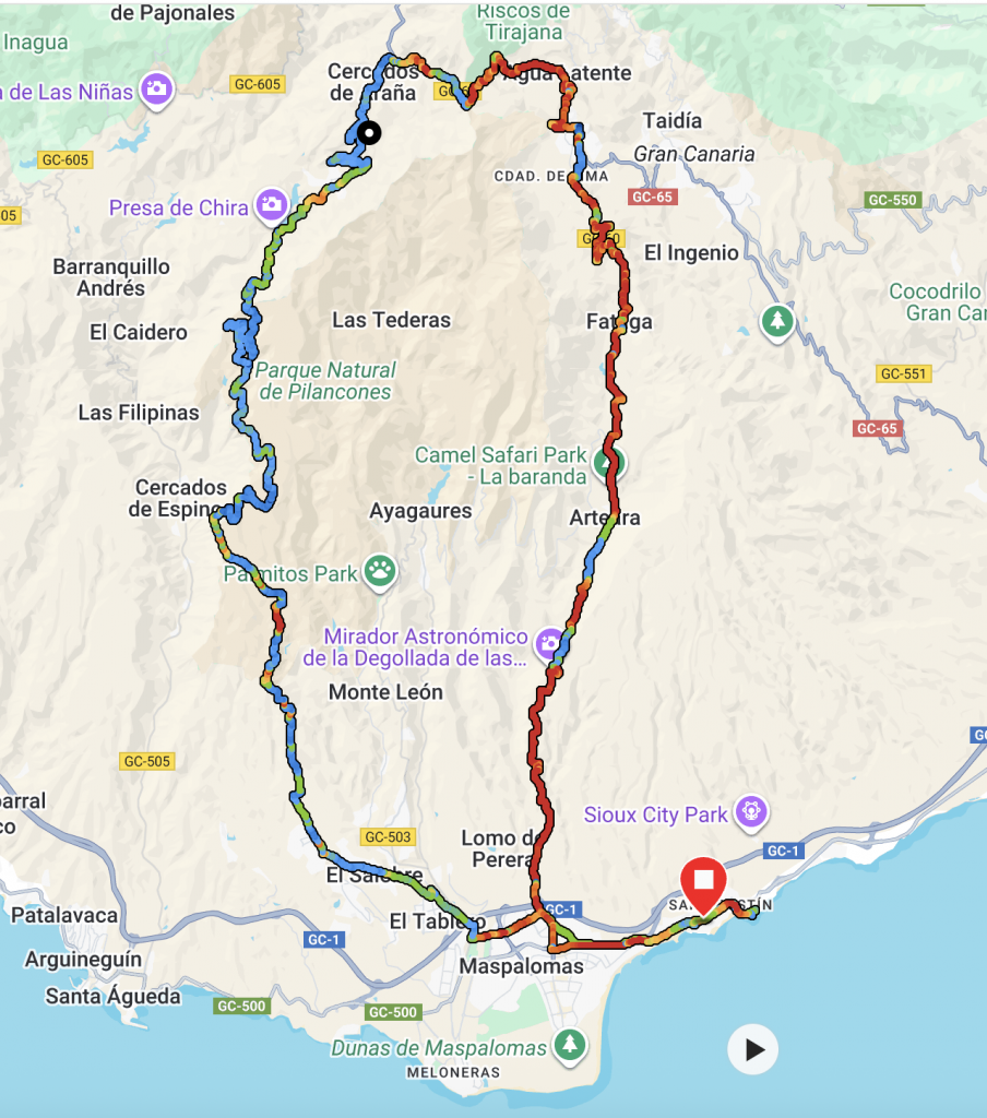
The GC-604 was unfinished business. A previous attempt on my road bike came to an end at the top of the asphalt section. It’s a brutal climb starting from the outskirts of Maspalomas through the villages of El Tablero and El Salobre before rising relentlessly to over 1,000 meters in altitude. With gradients close to 20% in places the asphalt section of the ride is a  ‘hors catégorie’ (HC), the hardest category of climb in cycle racing. It lasts some 17 km with an average gradient of 5% before giving way to the most amazing gravel road that itself includes a few Category 4 slopes.
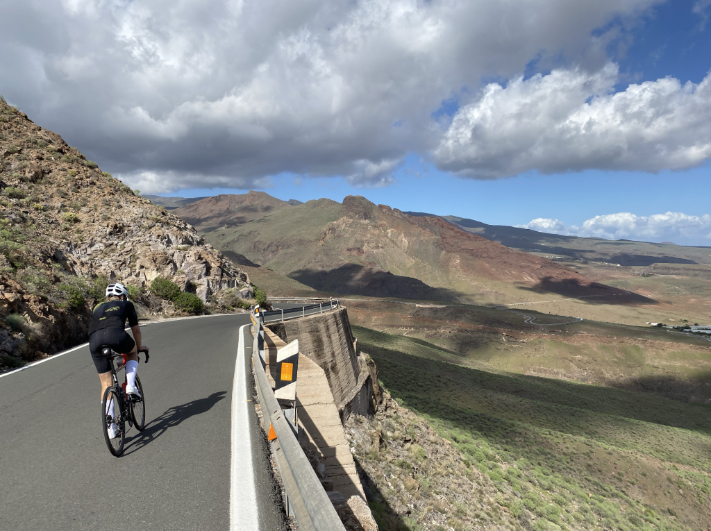
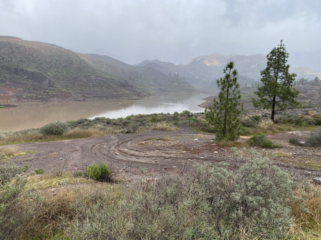
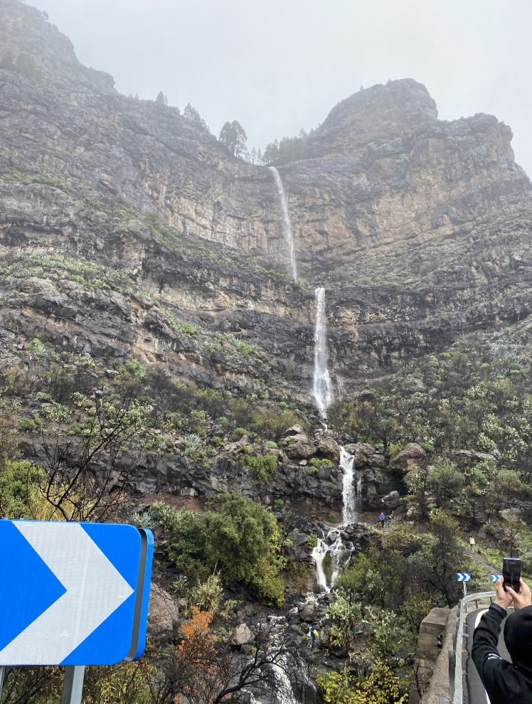
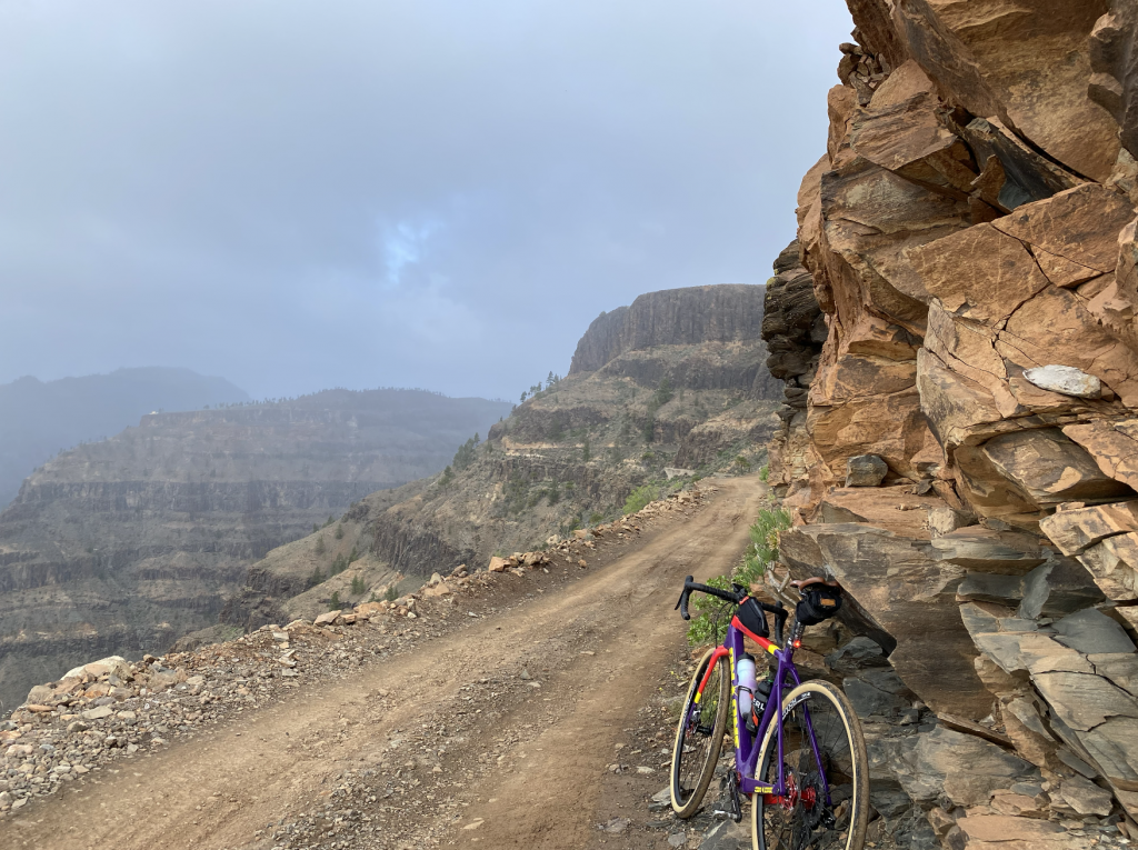
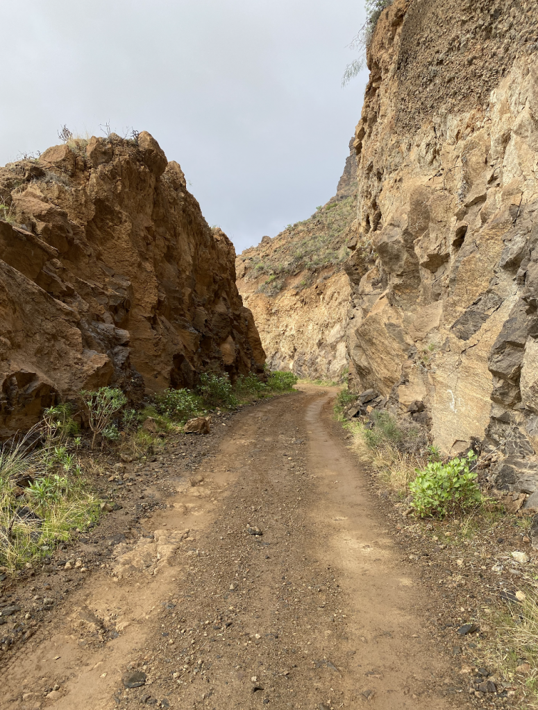
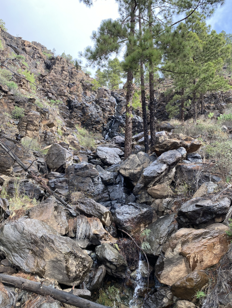
It’s a painful climb to get to the gravel, one could ride in the opposite direct but that is still a hell of a climb. Either way the rewards are there as the track winds it way around the top of the mountain, through forests, alongside waterfalls and simply the most amazing views. Stopping to eat my sandwich I was blessed with a rainbow straddling the valley. The track at times is a candidate for an episode of Worlds Most Dangerous Roads. As the trail gives way to road, as it meets the Embalse de Chira, I was left knowing that this ride was one of exceptional beauty, a special ride. Chatting to a local he explained how work is currently taking place to build a hydro-electric dam. Part of Spain’s drive for energy security through renewable technologies.

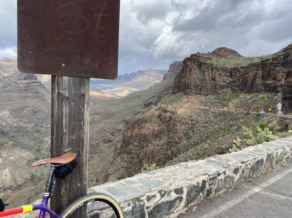
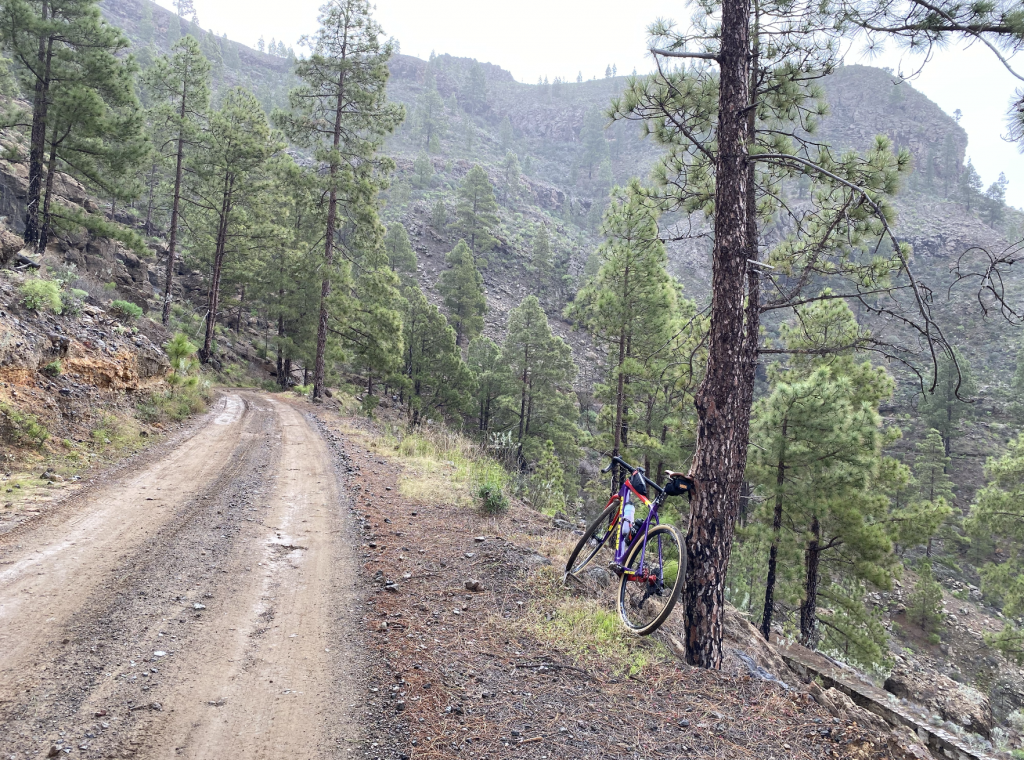
The GC-604 joins the GC-60 north of La Plata, high in the mountains at 1,238 meters above sea level. The rider is then rewarded with a 40 km descent of the mountain through breathtaking scenery. I’d picked a wet day in the mountains which actually increased the spectacle.  
Total distance: 80 km

Maximum altitude: 1,238 meters
Elevation gain: 1,967

And so

I have described the three main rides undertaken during a week long visit to Gran Canaria. There are many more options to include linking up the gravel sections of the three rides described increasing the total gravel content of each ride. And, I didn’t even touch the north of the island, although that would have been a little wet at this time of the year. Maybe a summer return? There were of course other rides during the week but a lot of those were commutes to meet friends from my time living on the Island. Even so, my first discovery of Gran Canarian gravel has left me with an appetite for more. Isn’t that always the case?

If you’ve enjoyed reading this blog why not try one of the Gravel Notts Publications:

Posted on

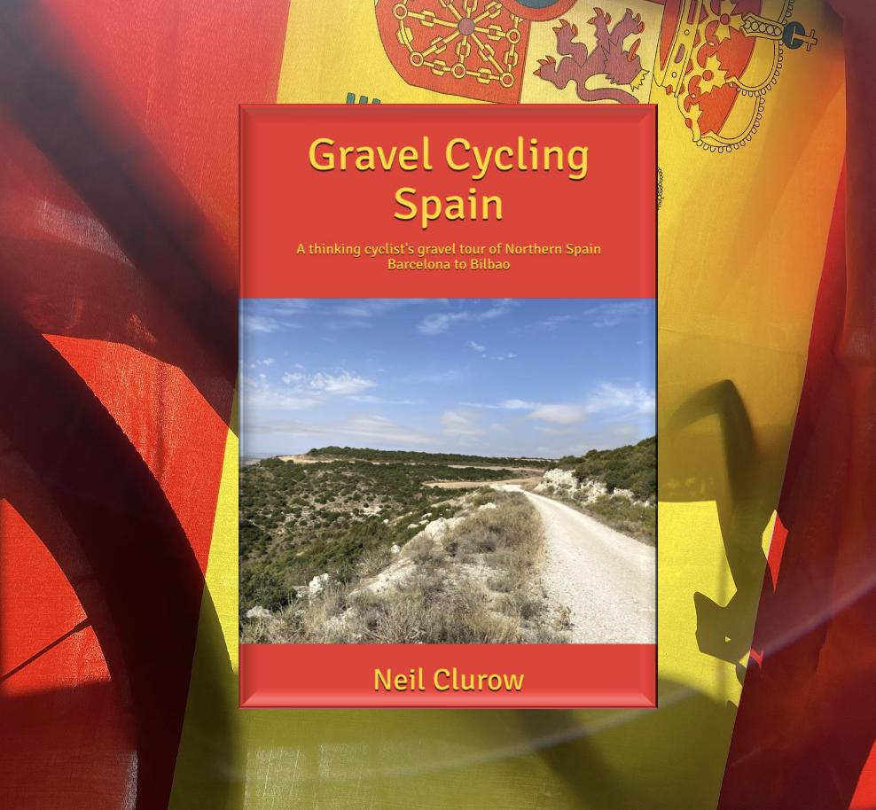
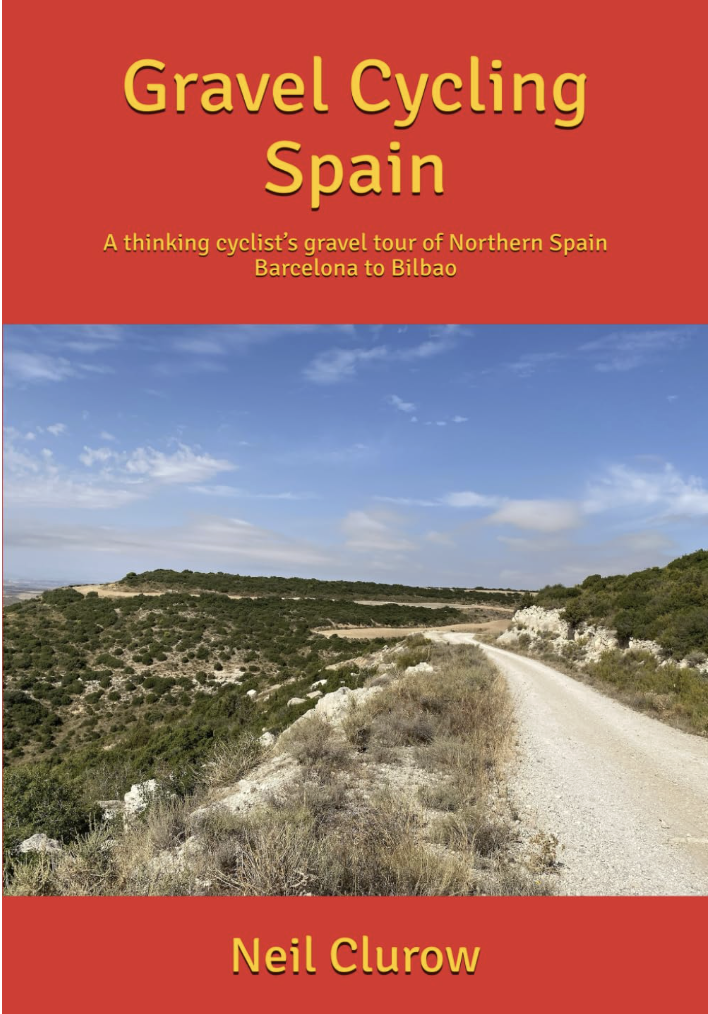
New Book Release – Gravel Cycling Spain

A thinking cyclist’s gravel tour of Northern Spain Barcelona to Bilbao

Charting the travels of two Nottinghamshire gravel cyclists and a friend for support, this book describes a gravel ride across Spain at its shortest and most accessible point. It takes in five iconic regions, all with their own distinctive cultures. The joys and suffering of an epic gravel ride are shared but also the places and people the riders meet. Gravel Cycling Spain takes the reader into inner Spain, away from the places tourists visit; the plains, hilltops, valleys and villages of Northern Spain.

Cycling brings with it a philosophy of how to travel and experience things at a deeper level with greater mindfulness. Not born out of a single tour but a lifetime of learning and evolving to a stage where the rider is given greater insight. In this respect the book highlights a life in cycling that led to the decision to ride across Spain. Not in too much detail but enough for context.

Riding a gravel bicycle across Spain exposes the rider to Iberia’s extraordinary history and cultural influences. The traveller cannot help but enquire of modern Spain, one of Europe’s strongest economies. Along the way the author explores his own ethical and philosophical thinking but most of all this book is about one of the greatest places in Europe to ride a bike, enhanced further by the plentiful gravel roads.

Buy now on Amazon – Part of the Gravel Notts series

Posted on 3 Comments

Peddars Way

Peddars Way is a long-distance route across Norfolk that begins near Knettishall Heath and runs for approximately 46 km to the coast near Hunstanton. It is thought to have existed as an ancient trackway prior to the arrival of the Romans who established it as a road in AD 61. The track was later used as a pilgrimage route.

It’s worth noting that Norfolk was a much wetter place when the Romans arrived. In fact, going much further back there was a marshland that extended all the way to mainland Europe. The Visit Norfolk website explains: “Norfolk used to be joined to the continent…. It was only the final thawing of the last Ice Age around 5000 BC that separated [Norfolk from the continent].”

To quote National Geographic; roughly 12,000 years ago, as the last major ice age was reaching its end, the area was very different. Instead of the North Sea, the area was a series of gently sloping hills, marshland, heavily wooded valleys, and swampy lagoons.” This area was known as Doggerland. Today the weather forecast includes an area of the North Sea called Dogger Bank. As the sea rose the land mass became submerged.

This rather long-winded explanation is my way of telling the would-be Peddars Way cyclist that much of Peddars Way is sandy and hard going.

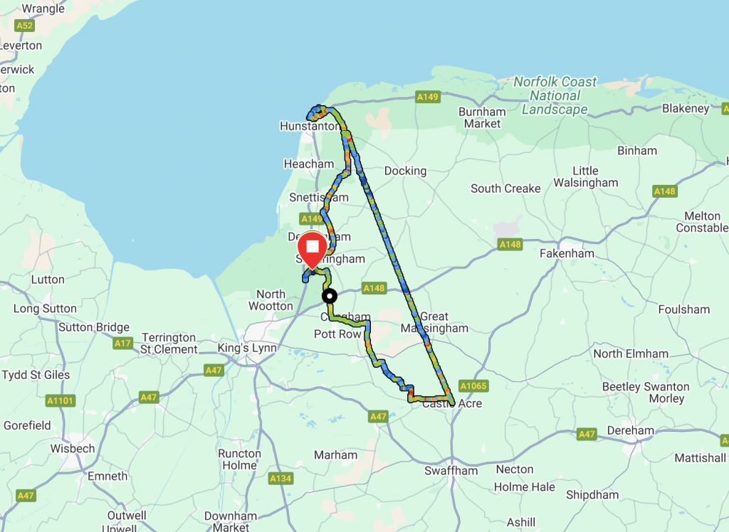
The route has been on my to-do-list for a while but in particular the largely unmetalled section which begins south of Great Massingham. So, on the weekend of the 14th June 2025 I based my tent in the friendly and picturesque Camping and Caravan Club site in Sandringham and set off early in the morning with a loop planned to head southeast to Castle Acre from where I would join Peddars Way north to the coast at Old Hunstanton before returning to my base camp in Sandringham.

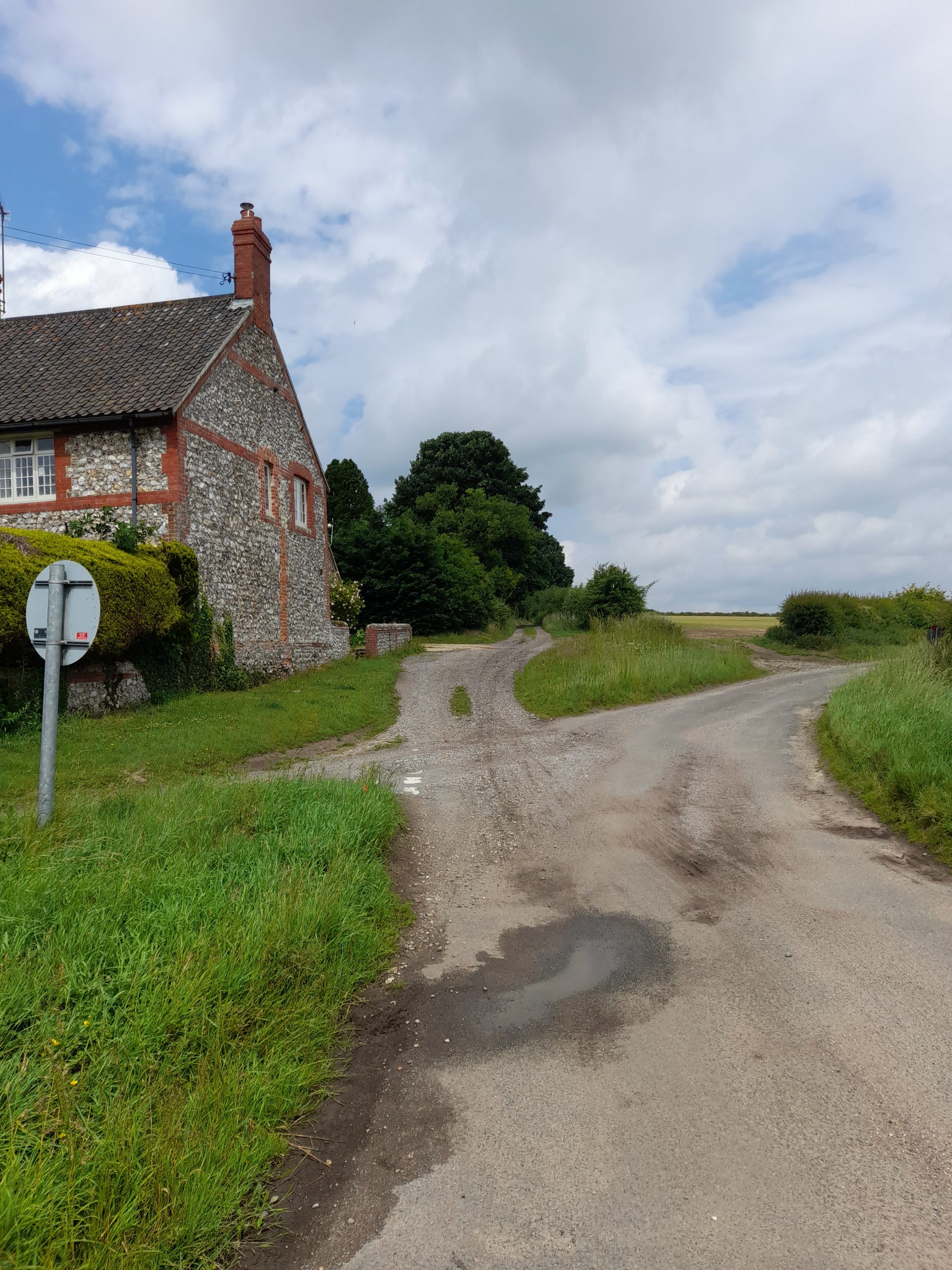
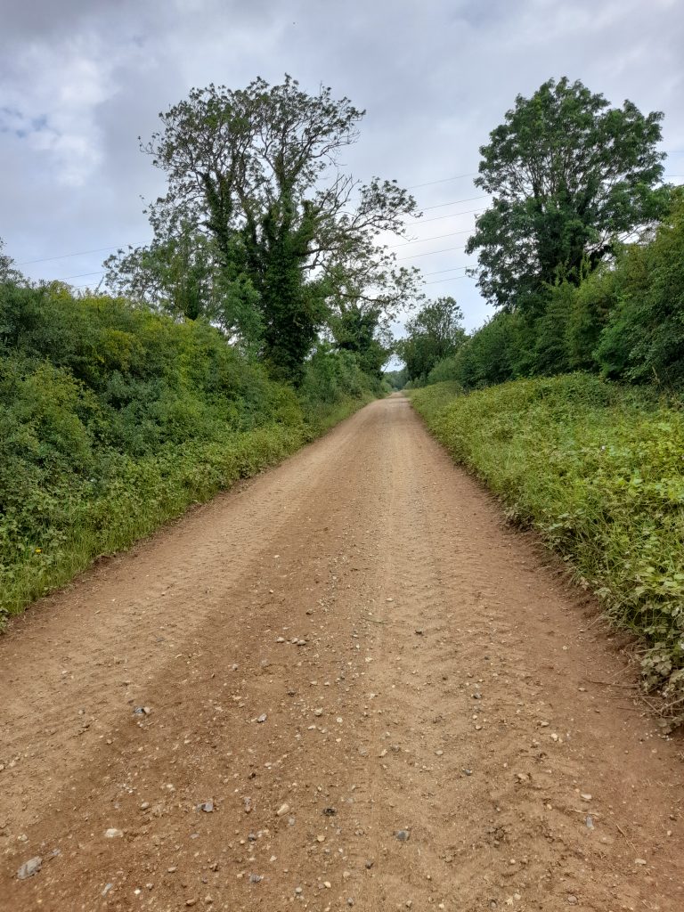
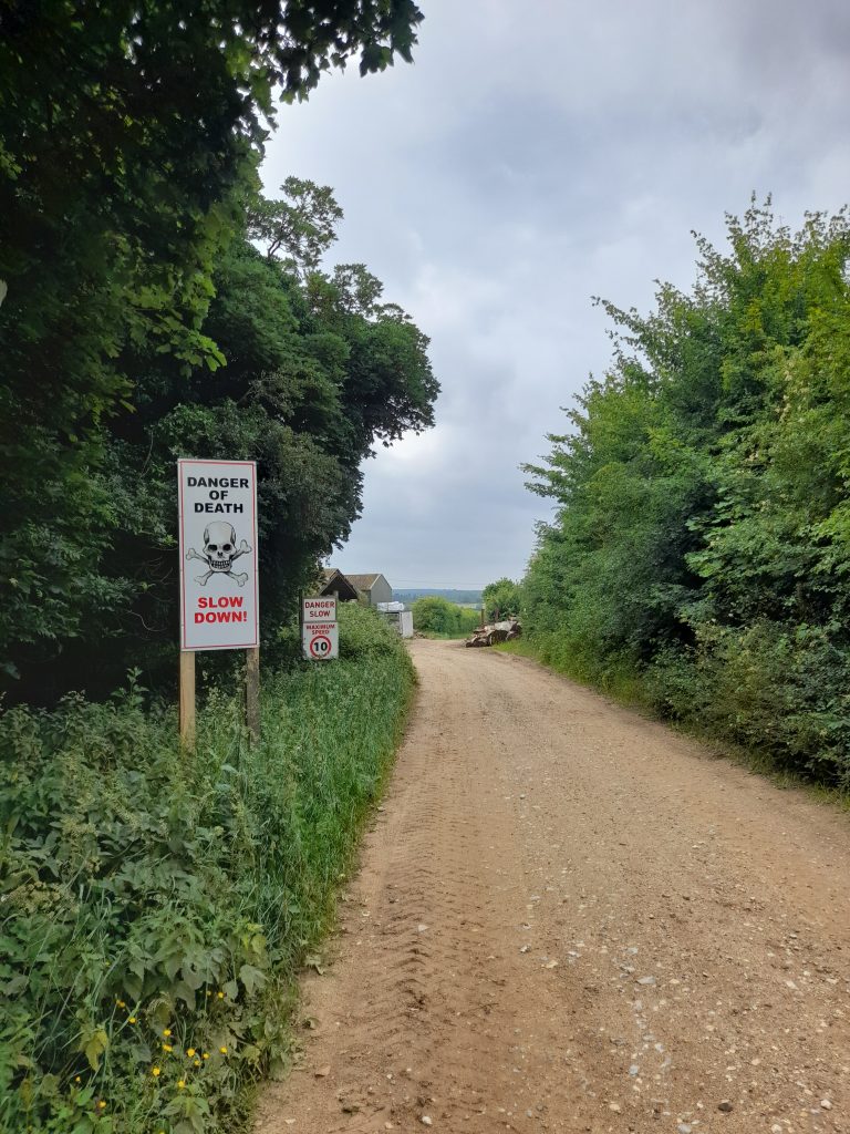
There had been thunderstorms across Norfolk during the evening before my ride.  Drizzle remained in the air as I made my way from the Royal Park. I obviously took ‘Common Road’ outbound. Within half an hour the weather settled into a drying track as I reached my first, and unexpected stretch of gravel road. Just after Grimston, Eastgate Drove provided 10 km of gravel that was wide but sandy and challenging at times with a noticeable sandy climb at one point. So, challenging in fact I recall a ‘Danger of Death’ sign as I descended through some S bends at a farmyard.

Leaving the gravel at West Acre it was only a short distance on a country lane to Castle Acre where, after a short detour to explore the village, I joined the Tarmac’d section of Peddars Way for 5 km before the first section of ancient trackway commenced marked by a slightly wonky triangulation post. There then followed 20 km of almost uninterrupted gravel cycling.

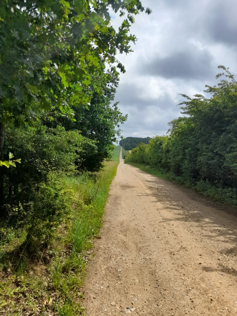
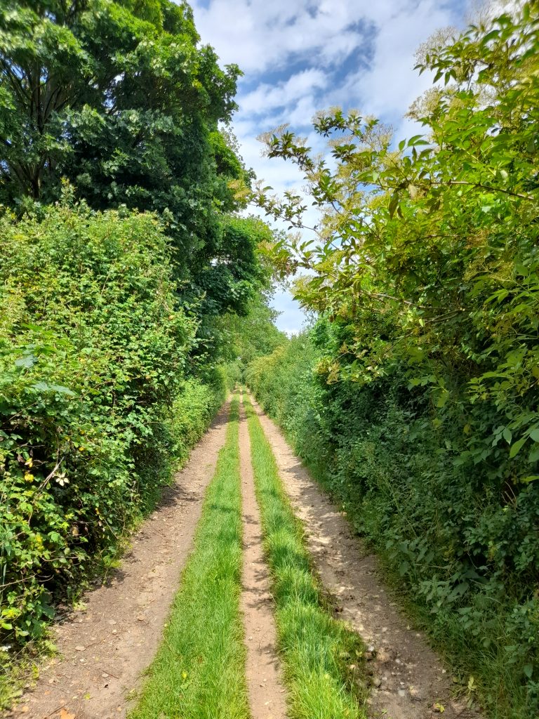
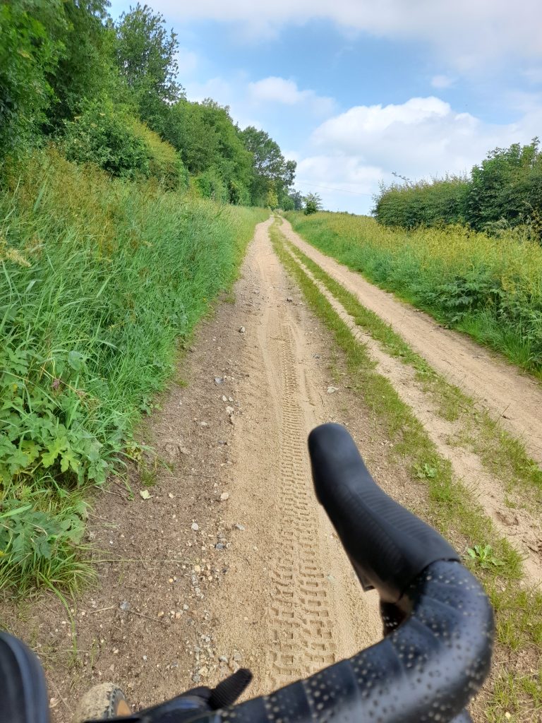
Peddars way from that point was made up of distinctive sections varying between sandy and shale gravel track, grass lanes with various types of surface and a few short sections that are footpaths. Some parts had clearly been used as a green lane route for off road vehicles resulting in a rollercoaster ride.

At a spot midway I decided to sit on the grass for a picnic of Quorn slice sandwiches and a banana. At this point a group of ramblers arrived, using the broadening in the track to regroup. As their stragglers caught up, we exchanged pleasantries. One interested member of the group asked about the introduction of disc brakes and we chatted further about his history of time trialing in the 60s and 70s. In the end I had to point out that his comrades were now about half a mile down the road and he made tracks. I wonder if he’s ever read this blog? Maybe I should have mentioned Gravel Notts but didn’t want to appear to be using the opportunity to market the website. I’m far too polite for that.

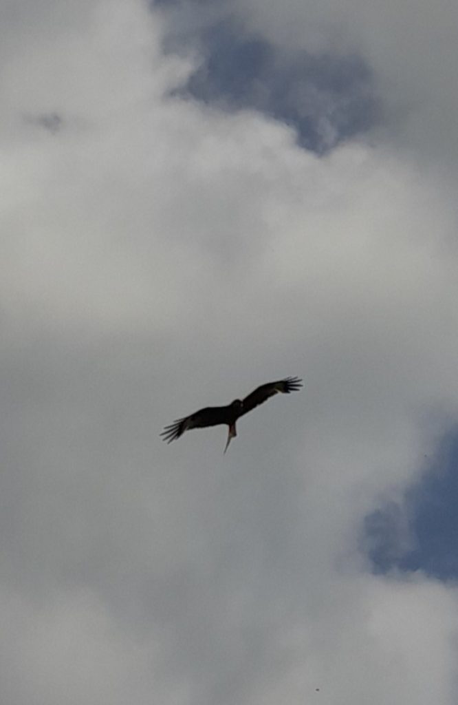
During the ride there was plenty of wildlife. Hares were abundant as were muntjac deer. Muntjacs were released both accidentally and intentionally in the wild from deer parks. They are now on the increase. Red Kites were also particularly common with a few hovering low enough above me to invite a photo opportunity.

There is a deviation where part of the ancient track is now occupied by a private dwelling adjacent the B1454 at Sedgeford and again shortly afterwards. I then took the final gravel section until reaching tarmac at Ringstead and a short road section to my lunch stop at Old Hunstanton. Cycling to the seaside is something that gives me a child-like feeling of pleasure and comfort. Reaching the coast under one’s own steam is not to be sniffed at. There was also a bonus. The Old Town Beach Cafe served a large selection of vegetarian and vegan cafe options

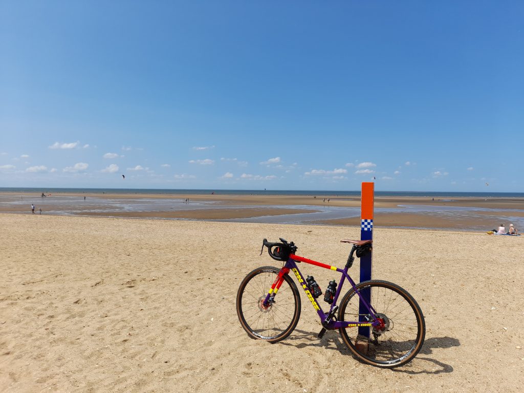
Naturally I had to take my bike to the beach.

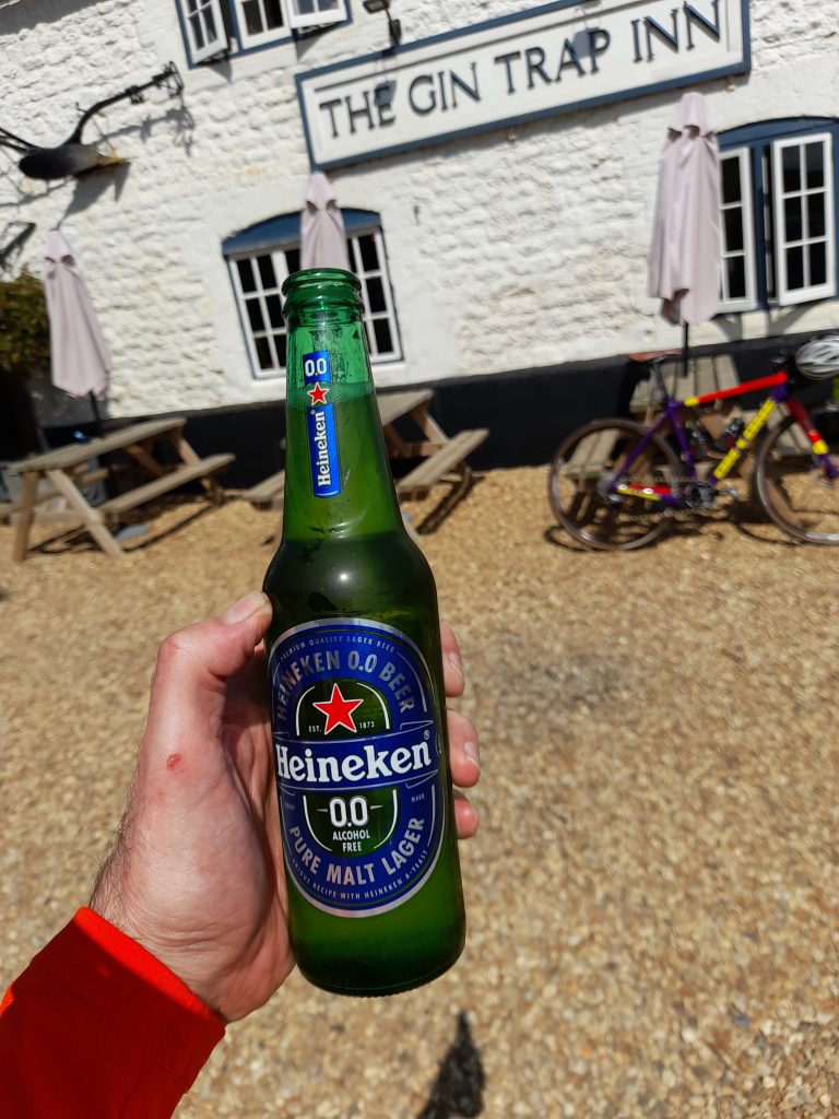
Having refueled I made my way back through the villages gaining a little back in terms of average speed, not that that was important to me. Spotting a picturesque village pub, I took a break and a 0% beer to celebrate an excellent day in the saddle. Basking in a warm summer afternoon with a cold beer that tasted better for having been earned.

Total distance for the ride was a little over 80 km with an elevation gain that was much greater than Garmin had forecast at 745 metres. We’ve had a very dry spring and I would guess the route would be something of a different proposition in periods of wet weather. I would conclude by highly recommending Norfolk for cycling but particularly incorporating Peddars way.

If you’ve enjoyed reading this short blog you may be interested to read more from Gravel Notts. The first book of a planned series of publications is available now. Visit our book shop for more information.

Posted on

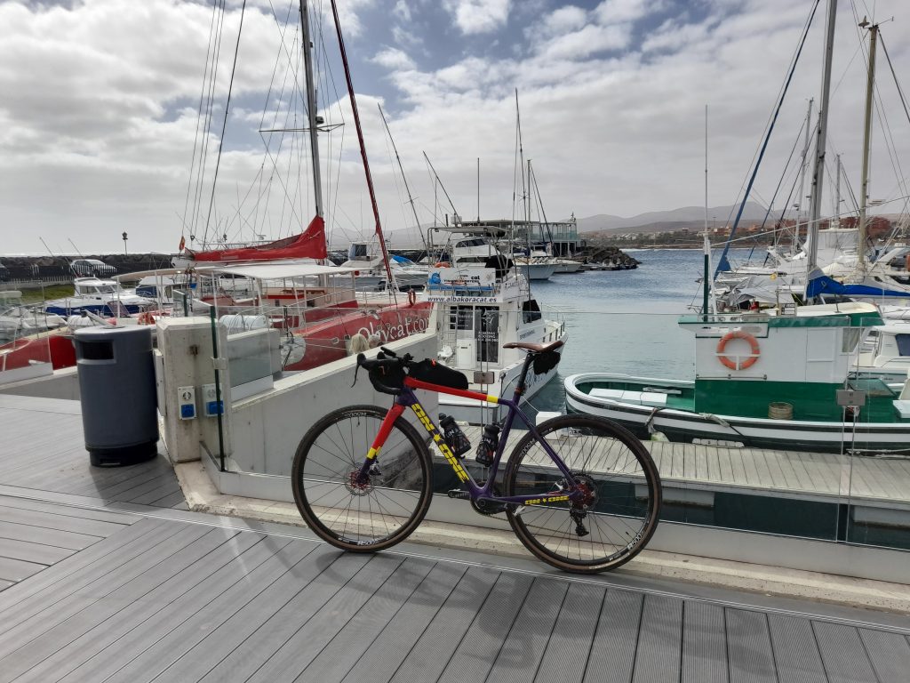
Out of Notts – Fuerteventura

Having kept modest mileage going until the New Year I decided to book myself some warm weather exploration on the island of Fuerteventura, one of the Canary Islands. There were a number of reasons why I chose this location over the more regular destinations of Tenerife . It is relatively flat compared to the other islands but shares the same all year-round good weather, it is inhabited by a population of Egyptian vultures that I hoped to capture a glimpse of and there is an abundance of unmetalled gravel roads. All in all, apart from the four-hour flight, it all seemed perfect and to boot a non-cycling friend and neighbour, Ian, wanted to join me to, in his words, “keep my beer cool until I got back from the rides.”

My background work before setting off for Fuerteventura made interesting reading. Fuerteventura is the oldest of the Canary Islands, formed some 20 million years ago and first inhabited by native North Africans, the Majorero, before invasion by French knights (Jean de Bethencourt) and eventually in 1418 the King of Castile. Throughout this time the island had been persistently raided by North African pirates leading to the population being concentrated inland in relative safety before the current capital city was adopted. The full history of control is complex and includes incursions by the Moors, Portuguese and Spanish. Today the island, like all the Canaries, is part of Spain as an autonomous community and belongs to The Province of Las Palmas (Gran Canaria). The capital of Fuerteventura is Puerto del Rosario, just north of the airport but we stayed at the tourist resort of Caleta de Fuste.

The economy of Fuerteventura was based on wheat and cereals up until the 18th century. Low profits and famine drove many to a better life on the other islands. The main industry is now tourism but the population remains low at 124,00 (2023) given that it is the second largest of the islands.

Fuerteventura is a Biosphere Reserve and a special protection area of birds with endangered eagles, vultures, the African Houbara and stone chats to mention but a few. The Canaries share the same time zone as the UK unlike mainland Spain so there was no adjusting of clocks.

I set out to design some routes that were at least 50% gravel, my altered route to Antigua now falls below that target but for good reason. I utilised both my Garmin Connect app and Ride with GPS to formulate the two main routes. One coast to coast and back and another specifically to an area where I had a realistic chance of spotting vultures, something I have never seen in the wild before. The rest of the rides would just be random exploring to get to know the island.

I was not seeking to ride big miles, just enjoy myself and get a week of consistent cycling in. I figured anything up to 70 km in any day would be enough.

The outward journey went well, flying from East Midlands Airport with my non-cycling travelling companion Ian who decided to join me for a cheap break. Ian, whom I would rename Ian Soigneur was great company for evening meals and a few post ride beers. He was not the most dedicated ‘team soigneur’ failing to clean my bike or provide any training advice. His dietary support usually involved brands of whisky but on the positive side I think I’ve convinced him to have a go at cycling on his return to the UK. On a serious note, thanks to Ian for joining me.

Taking a chance not booking an airport transfer was the correct decision with the taxi charging €17 to our adequate budget accommodation in Caleta de Fuste. Even more impressive was that in my broken Spanish we discussed cycling on the island and the driver showed me his recent downloads to Strava.

So, with some supplies purchased and the bike assembled everything was ready for the following day’s ride, coast to coast.

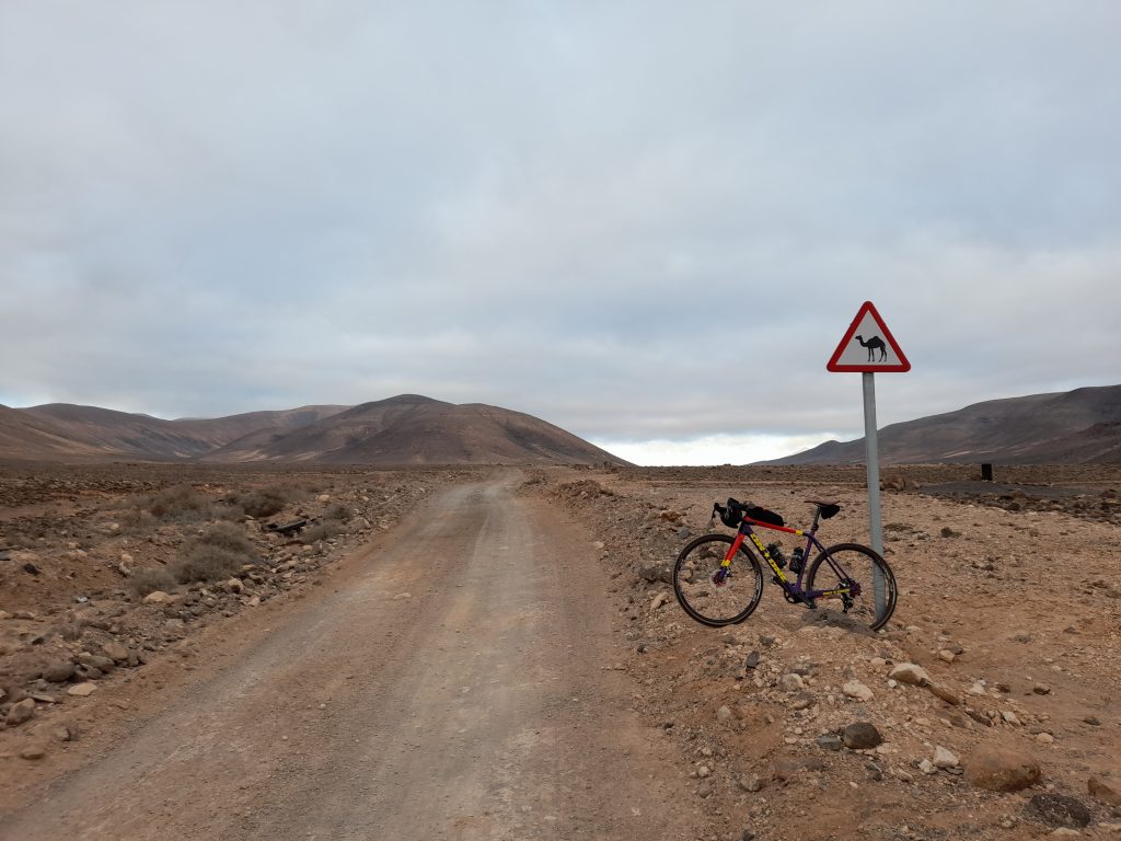
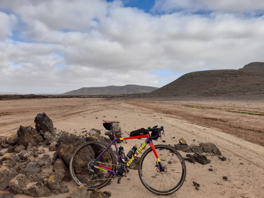
Setting off a little after 8 am the morning sky was overcast but the clouds soon dispersed. For convenience I followed the main road to the airport before swinging left at which point the ride was mainly gravel. The first few kilometres of gravel provided a challenging surface with short sharp hills past the ‘camel milk farm.’ It was however an improving track and a total joy taking me beyond mid-way at Casillas del Angel where the first cafe stop involved coffee and cake.

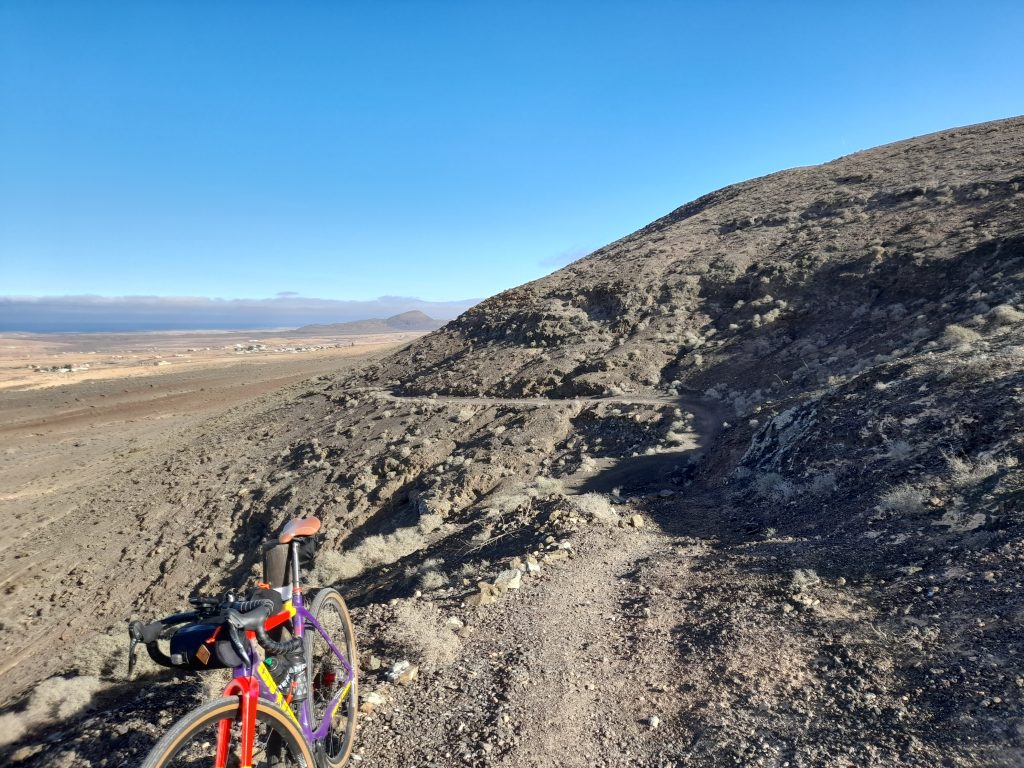
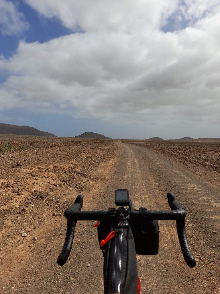
Heading further west out of the village the excellent gravel track left what little tarmac I’d experienced at that point. After a trouble-free ascent of the mid-island mountain range there followed a downward route that was more hiking trail than cycling track. It didn’t last too long before gravel cycling was restored. Keeping to the cautious side of things I walked the most difficult section of about 50 meters.

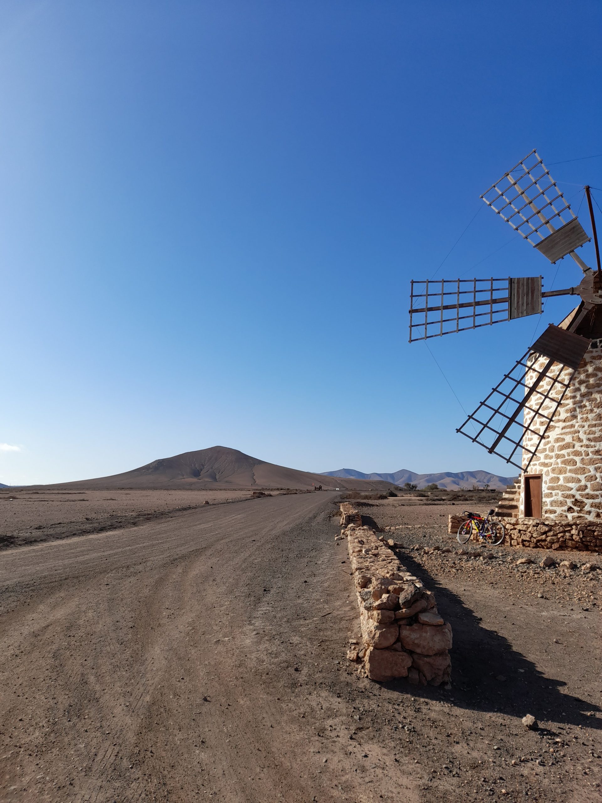
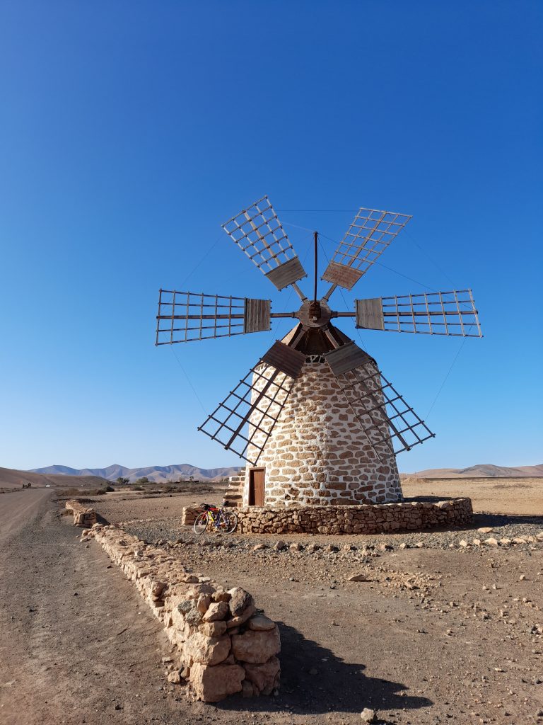
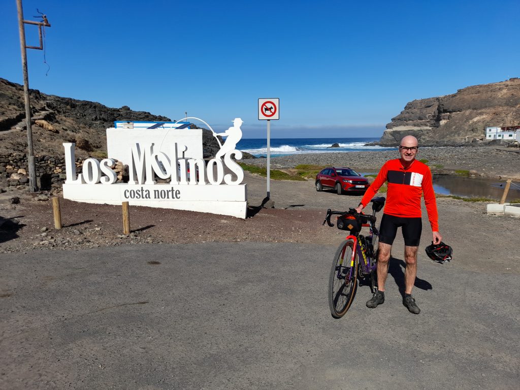
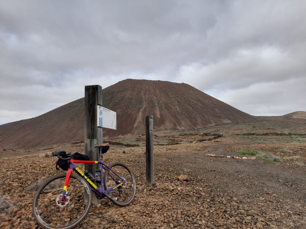
Before me the vast plain provided a clear view of the Atlantic Ocean. After passing a traditional Canarian windmill I picked up the smooth tarmac of the FV-221. It was at this point I caught my first view of Egyptian vultures soaring above in a perfect blue sky. Their distinctive wing markings confirming the sighting. As usual my photographic skills let me down. After a fast descent into the beautiful cove of Puertito de los Molinos and a sandwich stop it was time to repeat the journey in reverse. Four hours of cycling pleasure and my mate Ian waiting with a beer to round things off.

Day two’s ride was a bit of a recovery ride before I ventured back into the interior of the island. A run along the coast to a little bay called Puerto Laja. Heading straight to the shore in Caleta de Fuste and turning north along a dedicated cycle path I realised the force of the wind was going to play a part in the day’s ride. Leaving the resort also left me confused, the trail I had chosen was not rideable so some improvisation was required to get me to the next section of gravel that passed by the airport. This was the point where things improved and despite the strong headwind good progress was made to the capital of Fuerteventura, Puerto del Rosario. Approaching the town, I stopped to watch the barbary ground squirrels busy with their duties. It was also time to eat my warming sandwiches.

Puerto del Resario was a real treat with ferries and cruise ships docked in their mornings. I made full use of one of the many restaurants for a cana (small beer) and patatas fritas. Not my usual cycling fair but I was on holiday.

I then plotted my way further north taking two wrong turns out of the town before picking up yet more coastal gravel to the destination at Puerto de Laja. After a quick break it was about turn and a return to my starting point. The tailwind making the journey back pass in the blink of an eye.

Day three was a rest day to celebrate my birthday and recover for a big day (by my current standards) on Thursday.

On day four normal service was resumed with a loop of the interior and a half way stop in Antigua. Being propelled along the initial coast stretch without many turns of the pedals was an indication of the wind speed I would be riding against later that day. Garmin registered the wind speed at 43 kph but it felt much stronger in places. As I turned inland along the FV-2 I was grateful for the consideration shown by drivers giving me plenty of space as I leaned into the crosswind.

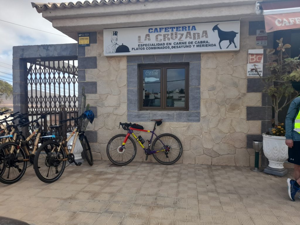
I was also grateful to turn off the tarmac heading towards Tiscamanita passing goat farms and a lunar landscape that was breathtaking. It was at this point I spotted an Egyptian vulture perched on a disused stone tower. As I stopped to get a photograph of this massive raptor it took to the air and made a circular maneuver to glide directly above me about 10 meters high. Once again, my photographic skills let me down by taking a picture before it was at the closest point and then totally missing the bird at the crucial moment. The sighting was a real privilege with the bird’s distinctive wing markings clearly visible unlike the adolescent vulture that was also present yet to acquire it’s adult plumage.
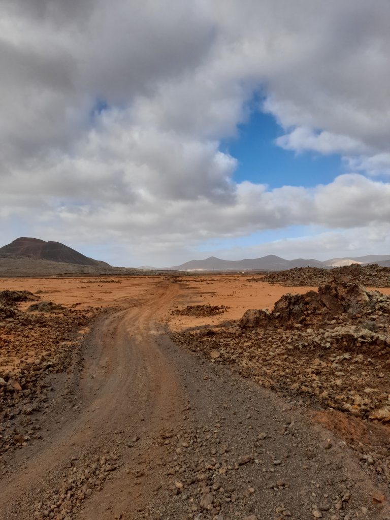
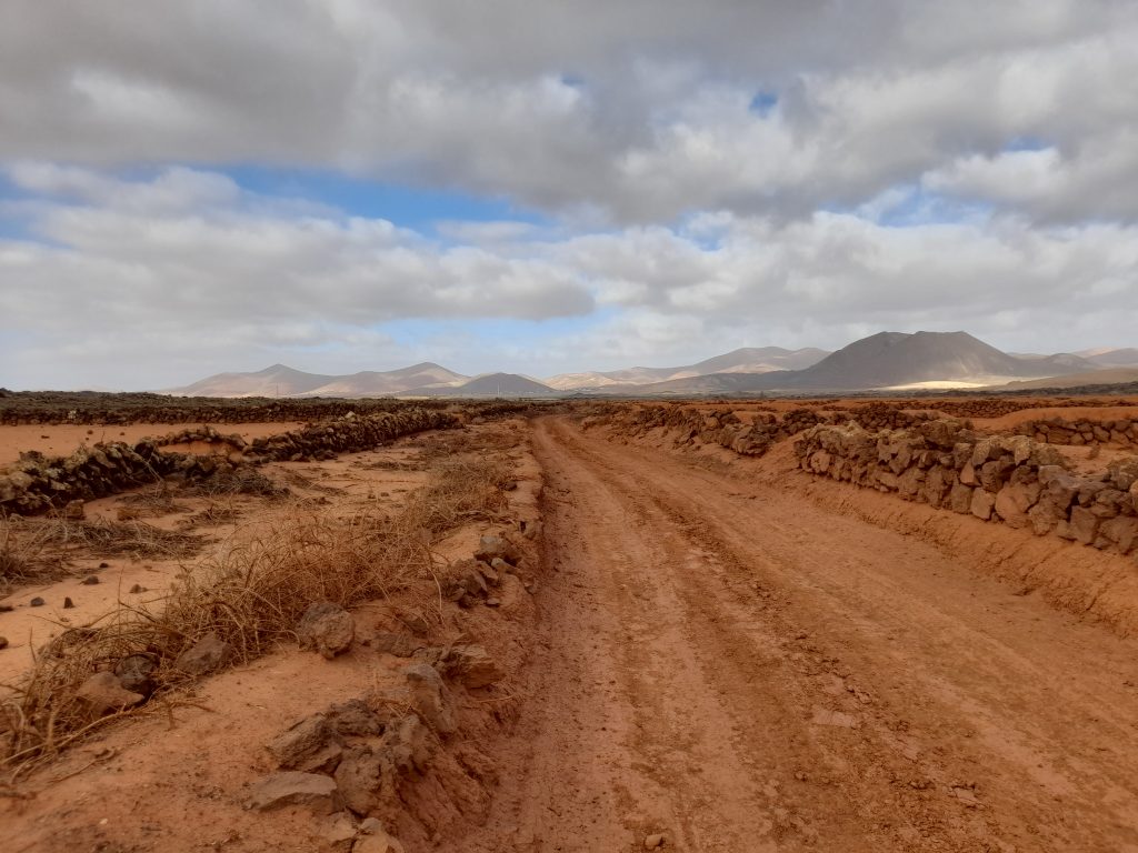
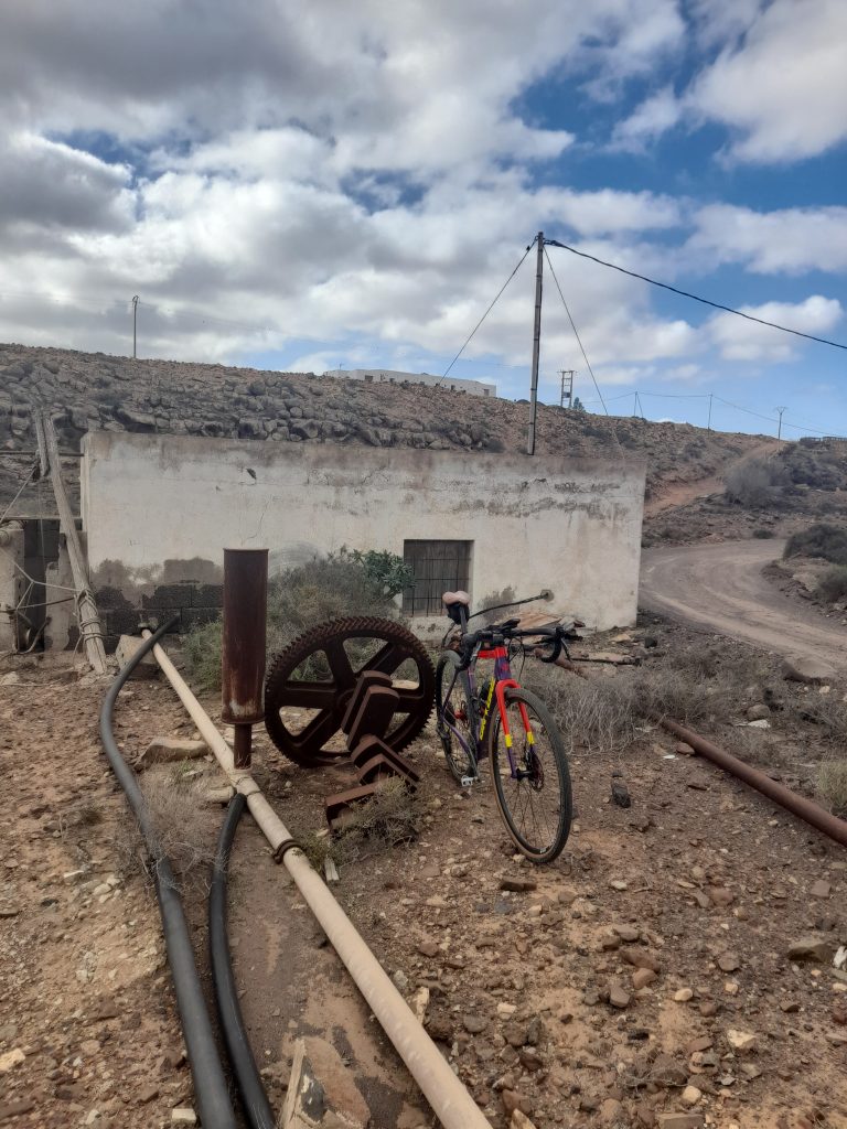
Carrying on I took the planned right hook before Tiscamanita which in hindsight was an error. The trail of large volcanic rock was impossible to ride resulting in me walking for over one kilometre. I’ve changed this on the Ride With GPS provided so that the route continues into Tiscamanita. This quiet road reduces the percentage of gravel but is advisable.

Eventually I was able to remount and make progress against the headwind towards Casillas de Morales, Valley de Ortega and then my lunch stop at Antigua.

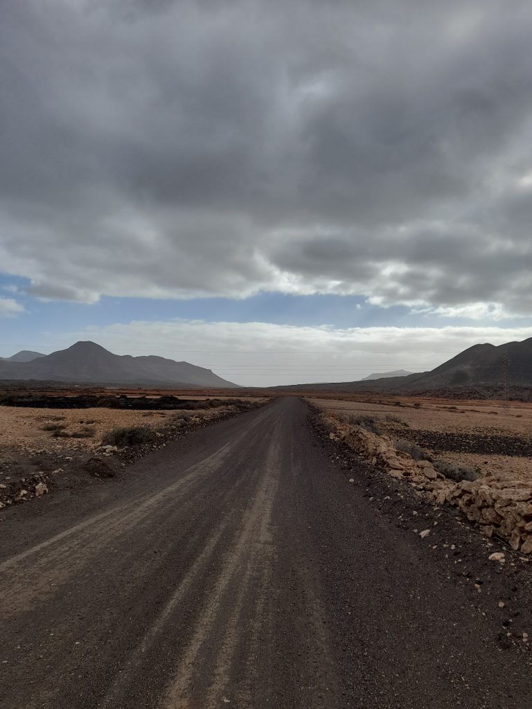
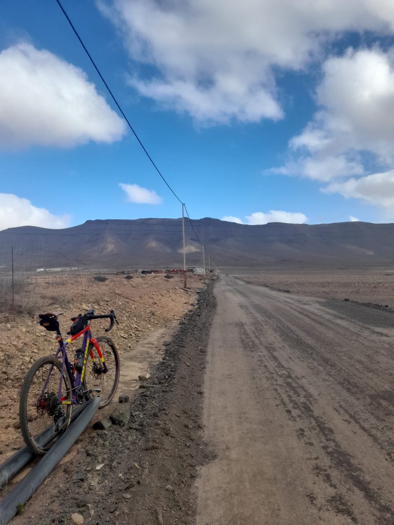
Post lunch the gravel and road mixture took me to Triquivijate after which there was a continuous 10 kilometre gravel track towards the coast and then back along the coast for a wind assisted ride back to base completing the 59 km ride. The revised route is a little less.

Day five was a shorter ride out to Triquivijate of about 40 km. Once again blasting along the coast on the way out before turning right for a thankfully shorter stretch on the FV-2 and the deadly cross winds. Turning right to leave the main road towards Los Alares I became confused for a while as the track looked like it had been obliterated by a large digger. Eventually I found my way onto the Cam.Buenavista and past the animal sanctuary. The gravel was good and smooth enough to make progress.

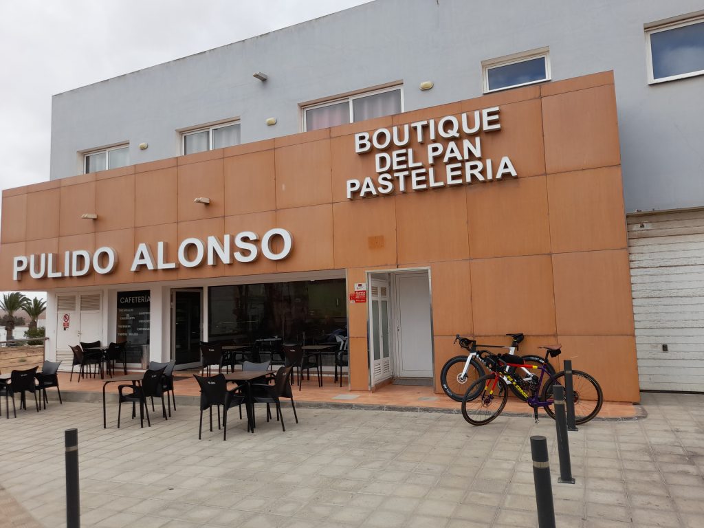
Arriving at Triquivijate I found a pleasant small town with an excellent coffee stop that I had spotted the day before. On arrival I was met by a large group of tourists from a cruise ship docked at Puerto del Rosario. They were on an excursion on bamboo bikes made by Myboo. After coffee and cake, it was back to a mixture of trails and the FV-413 back towards the coast to complete my winter cycling adventure in Fuerteventura.

In summary the island is a great destination for gravel cyclists and I could have planned much longer routes. However, be aware that this is a windy place and the crosswinds were very challenging at times, maybe I was just unlucky. My most enjoyable day was the coast-to-coast ride of about 70 km. The enjoyment was helped by this being the least windy day. There was a section that required me to walk for a few hundred metres but all in all a great route.

Day four was my other major objective. As stated, I have amended the route to take out a very long unrideable section whilst retaining the fascinating and isolated track that provided a close encounter of the vulture kind. This ride offers the least percentage of gravel but the sections that are will take your breath away.
If I were to return, I’d probably base myself in Puerto del Rosario that has a much more Canarian feel to it than the mainly British resort of Caleta de Fuste but remaining close to the airport. Having said that, the accommodation was cheap and acceptable, there were plentiful restaurants to choose from and located midway along the east coast the resort was an ideal base for cycling adventures.

All in all, I’m glad I did it.

Coast to Coast (and back)

Antigua Circuit

Posted on

A summer tour to Lincoln

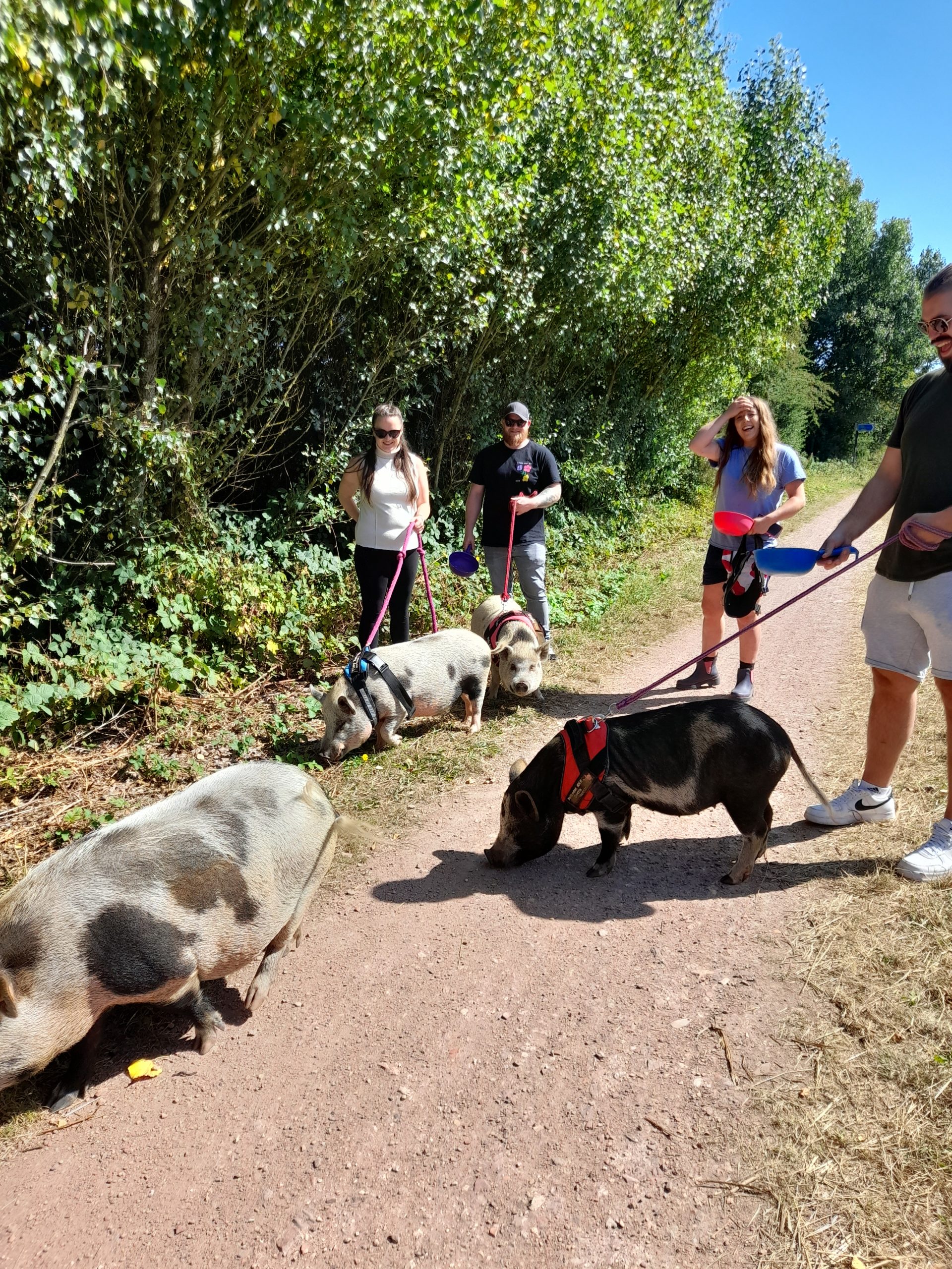
Setting out on a warm summer’s day in early August for an overnight stop in the City of Lincoln was no hardship. I was buzzing at the prospect. The first part of the ride will be familiar to followers of Gravel Notts. The ride out of Hucknall or Nottingham if you are based there utilising NCN 6 through Newstead Abbey, Blidworth and north to take National Cycle Network (NCN) 645 east towards Bilsthorpe is regular and delightful ground. The forest cover providing shelter from the early morning sun was appreciated as I knew there would be little shade after crossing the border into Lincolnshire. The only unfamiliar sight was being greeted by three ladies and a gentleman walking their pigs as I approached Bilsthorpe village. They were all well behaved and happy to pose for a photograph. This is Nottinghamshire so expect to expect the unexpected. The conversation started with, “I saw you guys on East Midlands Today” (a local TV News Programme). To which we discussed how well behaved the pigs where and thanking them for their time.
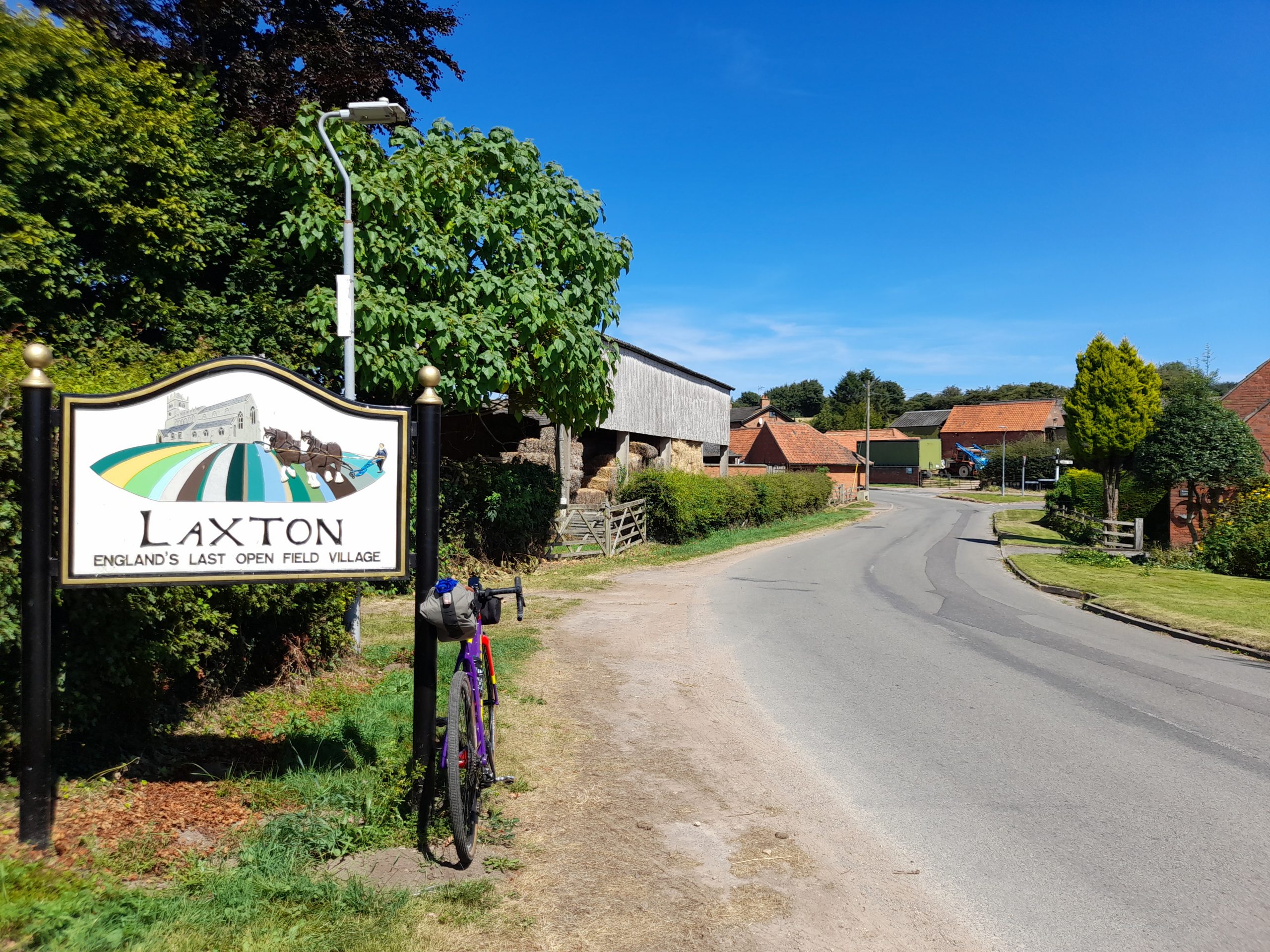
Having admired the drove, I had to look up what you call a group of pigs, the route continued until a planned refreshment stop at the delightful Daffodil Tea Rooms in Eakring. Having fuelled up I then headed northeast, on the quiet lanes through multiple villages, Kneesal, Laxton, which claims to retain the only open field system in England and Egmanton before heading directly east avoiding Tuxford on this occasion.

The addition of the town of Tuxford would have provided plentiful cafe stops but, on this occasion, I was still feeling full from my visit to the Daffodil Tearooms. I was also enjoying making good wind assisted progress along the unclassified lanes so a visit to Tuxford can go on the to do list although I have visited it many times before.

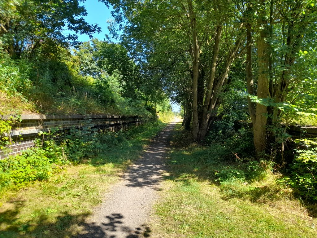
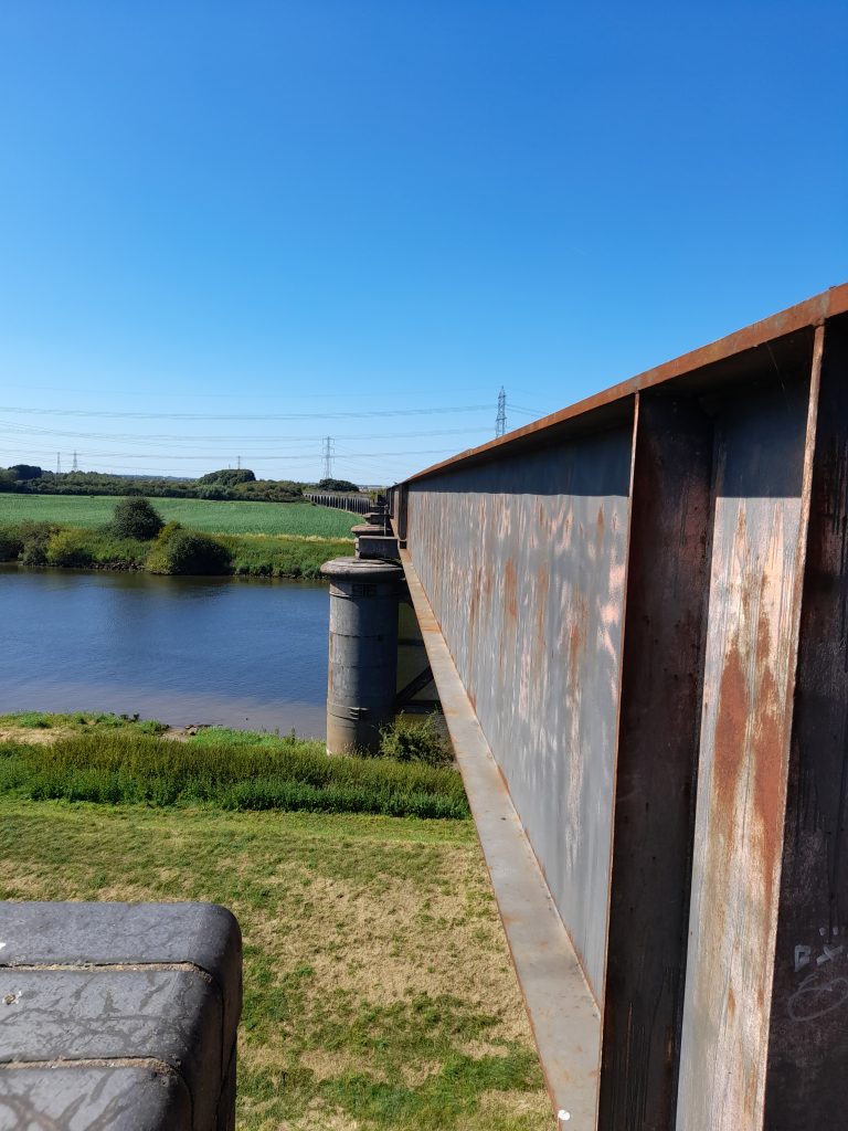
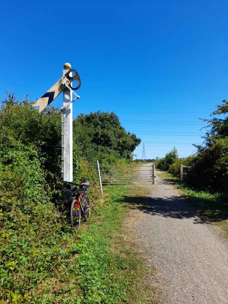
The last village before crossing the River Trent at Fledborough was Skegby followed by a slightly bumpy section of NCN 647. This then gave way to a gravel track heading towards the Fledborough Viaduct. This abandoned railway line that once ferried passengers to the historic City of Lincoln is littered with ghost railway platforms. The first is situated at Marnham which feels a little eerie now it is nestled in woodland that has taken over the platform. I stopped for a while to take a photo and enjoy, probably the last shade of the day.

As the Viaduct passes over the great River Trent, I was surprised at how little of the River I could see but grateful for the excellent gravel surface it provided. The opportunity to snap a quality photograph of the viaduct (that I will save for the book) could not be missed however and so it was then that I found an exit path on the east bank from which I was able to find a vantage point to view the viaduct’s vast expanse across the water. Fledborough Viaduct is an interesting structure of brick and iron. It not only stretches across the river but also the extensive floodplain that lies on each side of the Trent at this point.

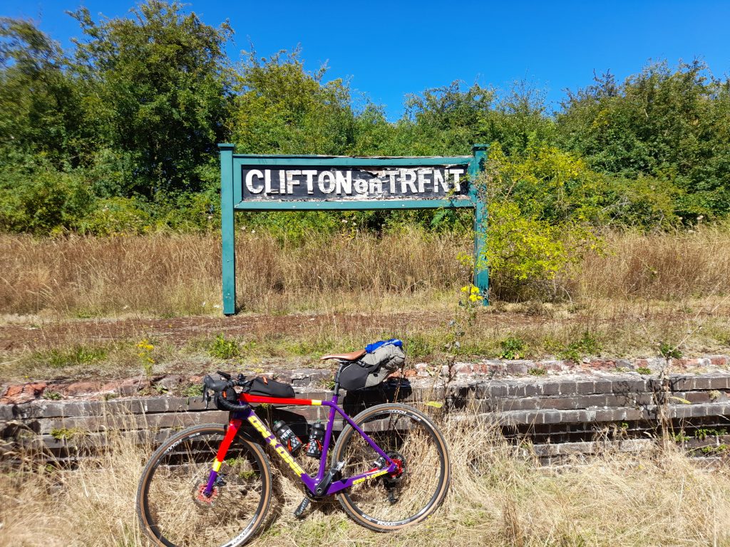
At this point the River Trent is nearing its destination to the Humber and is deep and wide. I too had a destination to reach so it was back to NCN 647 that meets NCN 64 north of Harby and onwards towards Lincoln. Once over the border the going is flat for the remainder of the journey. North Nottinghamshire’s undulating lanes give way to flat gravel. On this occasion, with a tail wind to boost progress. It’s not long after passing over the river that I approached the second abandoned railway station at Clifton on Trent. The platform sign still remains but I had to straighten the letters for photographic purity. In hindsight wonky letters may have been more authentic.

And so, the journey continued, perfect dusty gravel until the next notable settlement of Skellingthorpe. Passing through the village only brief glimpses of the habitation are noticeable as I rumbled on along the 16 km of straight gravel until I finally had to take a right turn under the A46 to pick up Foss Dyke taking me directly into the heart of Lincoln and the vibrant Brayford Pool area. The last section of the route into Lincoln is also interesting as Foss Dyke is a navigation with boats moored up of differing type and size.

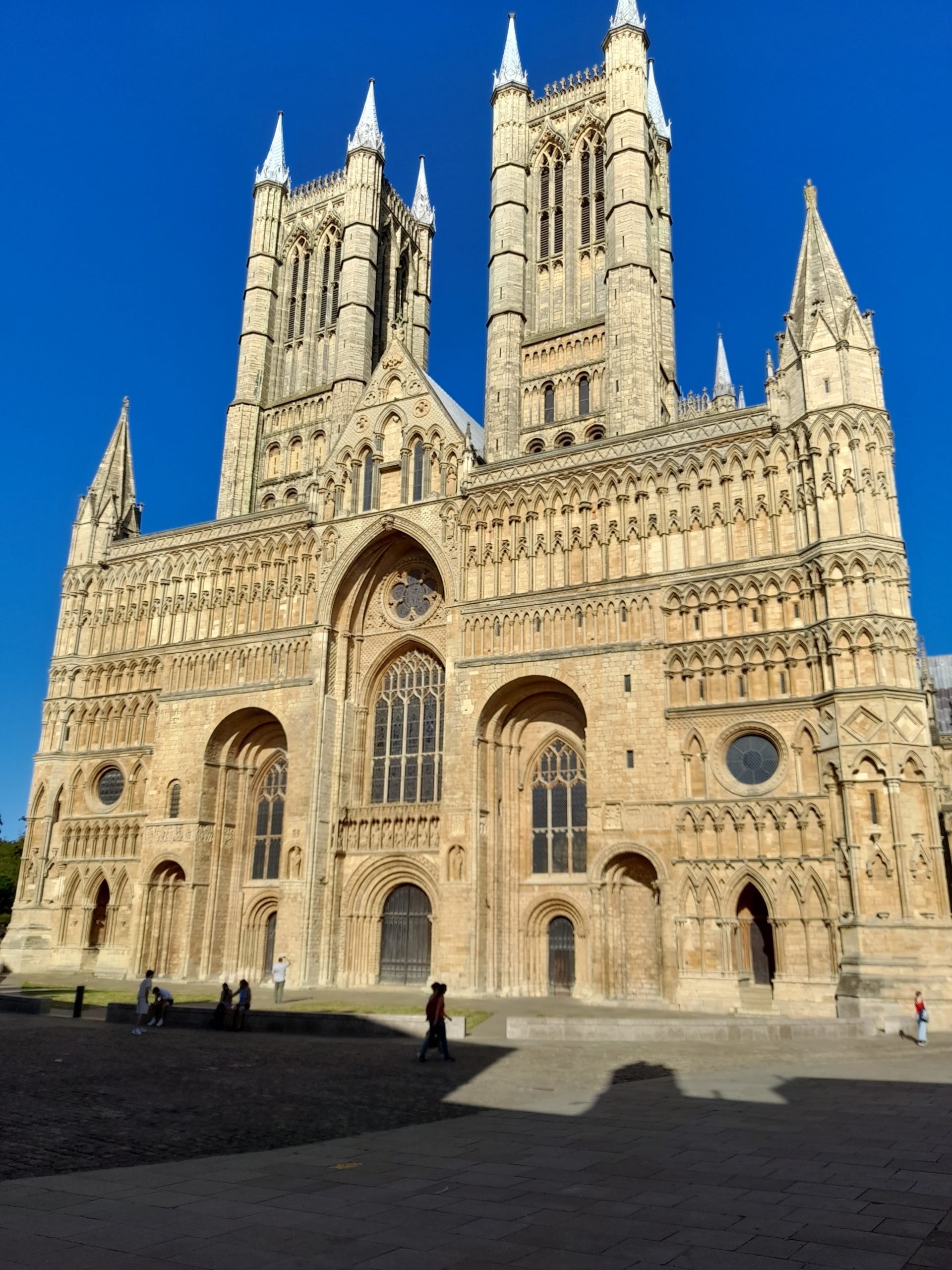
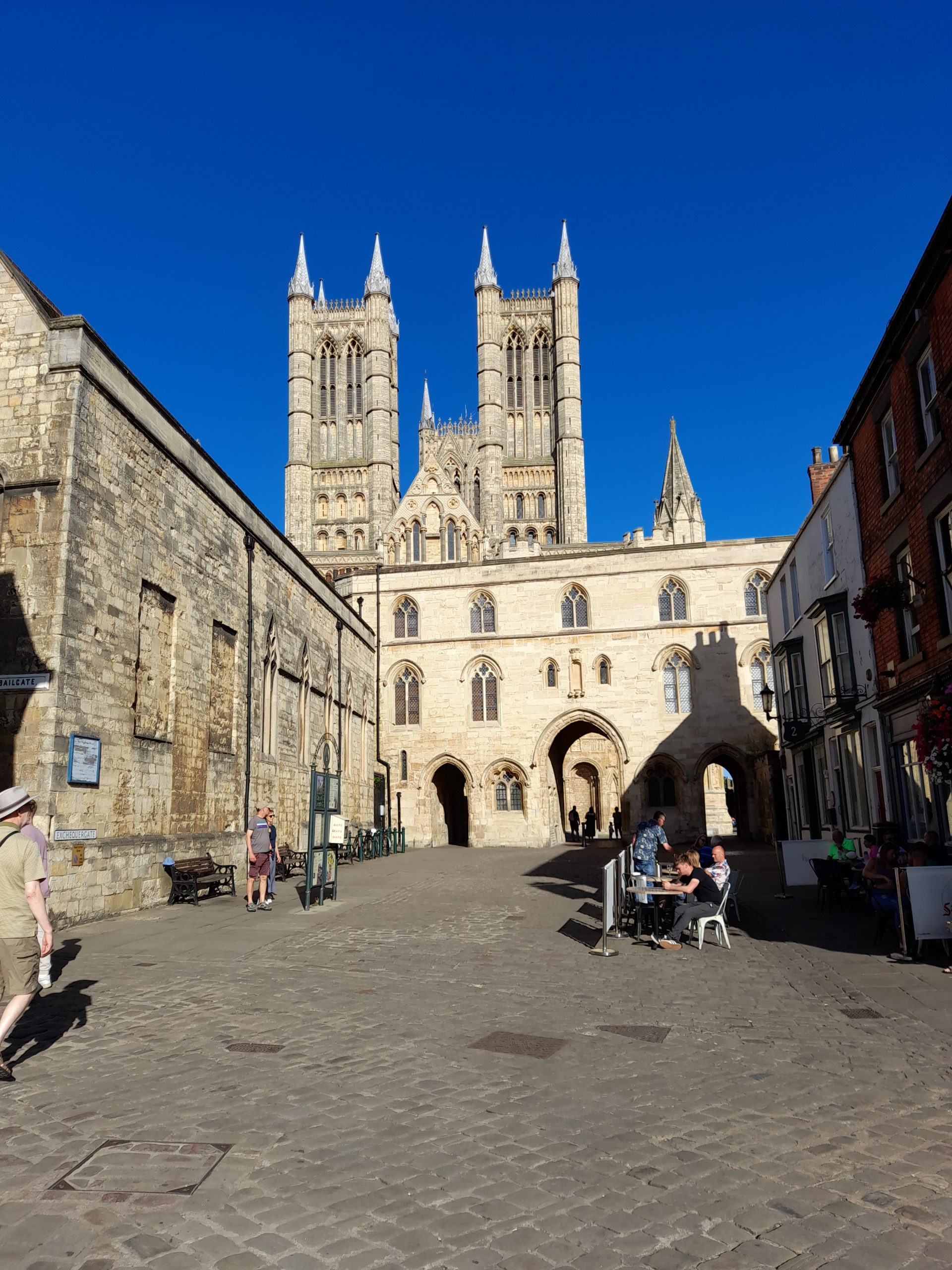
After finding my accommodation for the night, unpacking and a quick shower it was time to wander around this beautiful city, take a look at the cathedral and admire the remains of the city wall, oh and find somewhere to eat which wasn’t difficult. The sunlight made the historic buildings seem even more picturesque. A walk around the historic part of Lincoln is challenging. I guess Steep Hill acquired its name for a reason. It is claimed to be the fourth steepest street in the country. I have cycled up it before and watched the Lincoln Grand Prix riders race up it but this evening walking the steep cobbles was enough of a challenge.

Whilst eating my evening meal I was able to reflect on the 65 km ride. I enjoy cycling with friends, sharing a beer and banter in the evening but there is also something to be said about being a solo traveler. It gives me inner peace and satisfaction. This route was an absolute joy, definitely one I will choose to take again.

The evening was also a time to relax and consider my options for tomorrow’s return journey. Maybe the long way back via Newark on Trent?

And so, the morning came. As I often do, I made a journey on foot to the local supermarket to buy supplies for the day and a makeshift breakfast to eat in my room in the well-known hotel chain, which was very nice and central may I add. The main bonus is being allowed to take your bike into the room itself.

Setting out it was another warm humid day with severe thunderstorms forecast for the afternoon. I had made a decision that evening. Given this was my first overnight ride since surgery early in the year, and I ‘d only recommenced cycling in mid-June I was going to take the train to Newark and ride back home from there.

The train ran smoothly and I was able to get a seat next to my bike, perfectly. Alighting the train at Newark I decided to eat my provisions in the gardens facing Newark Castle before heading initially north along the banks of the River Trent before crossing over to pick up NCN 64 (south) and head west towards Nottingham. The NCN 64 is a tarmac traffic free surface from Newark Northgate Station and follows the abandoned railway line until Cotham. At that point I diverted from the NCN route and made my way through the lanes until I was pleased to join a gravel byway by the name of Baxter Lane that provided the day’s first meaningful stretch of gravel until the village of Hawksworth.

Now at this point my plan was to stop off at Screveton for a refuel at the cycling mega cafe that is Cafe Velo Verde. Unfortunately, this was a Monday, the only day they don’t open in the summer. Luckily, I had saved some of my supplies bought in Lincoln and made do with the snacks I had preserved and a drink from my biddon.

Setting out from cafe Velo Verde I could see that the thunder storms forecast was threatening. The rain visible in the distance along with forks of lightning and loud claps of thunder progressing ever closer. I prepared myself mentally for a soaking. Any cyclist knows the feeling, there is no way out of this one, nowhere to shelter of any meaning and a long way from home. It’s summer, you have your lightweight shoes on, a flimsy wind jacket, short sleeves and bib shorts. However, as I neared Gunthorpe bridge to cross the Trent for the third time on this tour I was becoming hopeful that I had, somehow, dodged the storm. This was confirmed as I rode through Lowdham and Epperstone where the roads had clearly had a soaking before my arrival. As cyclists sometimes we just get lucky!

All I had now to do was to climb the north face of Bonner Hill, descend into Calverton, up and over Gravelly Hollow and, after cutting through Burntstump Park I was cycling over Papplewick Moor and home. The route was a mere 50 km on day 2 but I had completed my first post-surgery tour and felt pretty happy about it. However, my first reaction was not to philosophise but to say to myself, well done chap, now, what’s next?

As for the route, I can highly recommend it, especially the Nottingham to Lincoln via the Fledborough Viaduct. Such long stretches of good gravel are rare. It flat and deposits the rider into a beautiful historic city with plenty of options for onward travel or a return loop. What more could a gravel cyclist ask for?

Posted on 2 Comments

Gateway to the next stage of a cycling life

So you’re a cyclist, just about to turn 60 years of age and your friends from the north of Nottinghamshire invite you to join them for a celebratory curry. You of course accept but how do you get there? Obvious really, turn the whole occasion into a three day gravel tour of the county. OK, it’s winter so best keep it short but having started cycle touring in the gloriously warm summer of 1976 cycle touring seemed a fitting way to mark my milestone, even a very short one. It’s just a shame I wasn’t born in June or July! Even more a shame that I currently can’t get travel insurance for medical reasons, otherwise I’d have made Spain a winter tour of my choice.

The chosen tool was not based on suitability but simply the bike I ride in winter to save my more expensive steeds from the punishment of a British winter. The main downside of this is a bike fitted with road tyres, albeit 35mm maxing out the road orientated frame form the bargain end of the Vitus range.

So with Travelodge hotels booked I have one duty to perform before setting off. That was to visit my father and wish him happy birthday also on what was his 87th such occasion. This is where the problems started, with winter bike packed and the roads dry I decided to pop up to see father on the recently refurbished ‘best bike.’ On the way back and almost home out popped another cyclist from a side path, with quick thinking I managed to dodge a head-on but not enough to stop a shoulder bump that sent us both flying. Now, I’m not going to get into the blame game but if you’re pulling out into a road check both ways. I was just giving a pedestrian a wide birth as there is no footpath on this particular stretch. This positioned me more to the right than I would normally have been and into the path of the other party to the crash. Anyhow, no injuries were evident, only a scratched derailleur but that still pained me as I like things to be perfect.

Day 1: So on a slightly downbeat note I set off on the first leg. As soon as I left the main road and made my way across Papplewick Moor the feelings of angst melted away, there’s always a joy about setting off wondering what the journey would bring. my first goal was to reach the Daffodil Tearooms for a refuel. The route there was via Blidworth then joining National Cycle Network (NCN) Route 6 followed by NCN 645. This is a course made up made up mainly of disused railway lines, the latter with a distinctive crushed red brick and perfect for fast gravel riding and good drainage in winter. At the end of NCN 645 a short road section from Bilsthorpe to Eakring saw me arrive at my halfway destination and a warm welcome. There’s one thing about being born and bred in the town of Hucknall, wherever you travel you’re bound to meet someone else from Hucknall. Whether in Spain, at an M25 service station or a village in a remote part of the UK I have often had a conversation that turns out to be with someone from Hucknall. We’re a bit like the Irish, there’s some of us in every corner of the globe. OK, I’m milking this one, it’s only 25 km from home.

Anyhow, today was no exception and the delightful member of staff (from Hucknall) chatted with me about our shared knowledge of the home town and how the tearooms were popular with cyclists, including large club groups (large groups please phone ahead). I can see why the location is popular and went on my way refreshed with food and faith in mankind. I do recommend this as a stop-off for any cycling tour of Nottinghamshire. Not only is the food good but the location is very nice and conveniently placed close to the National Cycle Network as well as surrounded by quiet lanes.

The second stage of my journey also seemed to be going well as I progressed toward the delightful village of Wellow with its tall maypole. This must be one of the tallest maypoles in the country. Passing the village green that is so typically English I took a right onto the main road before locating the intended bridlepath. This is where the route went a little off message. It was obvious from the moment that I turned into the bridleway, just east of Wellow that this was going to be a challenge. The fallen tree across the path was a fair indication of that. Having hauled my fully laden bike around the tree things started to get boggy, and then things became a little boggier. There was hope a gate followed by a gravel farm track. A few hundred meters that allowed me to remount and ride for a short while. But that did not last and having resorted to pushing once again even that became impossible. I had to fight with the stickiest of sticky mud on sticky mud lane, you get my point. Mud was jammed between fork crown and tyre, chain stay and tyre. I guess there was over one kilometre of pushing and lifting and unblocking before I finally emerged on a lane just west of the National holocaust Museum. Where I rested my bike on the truck of a fallen tree.
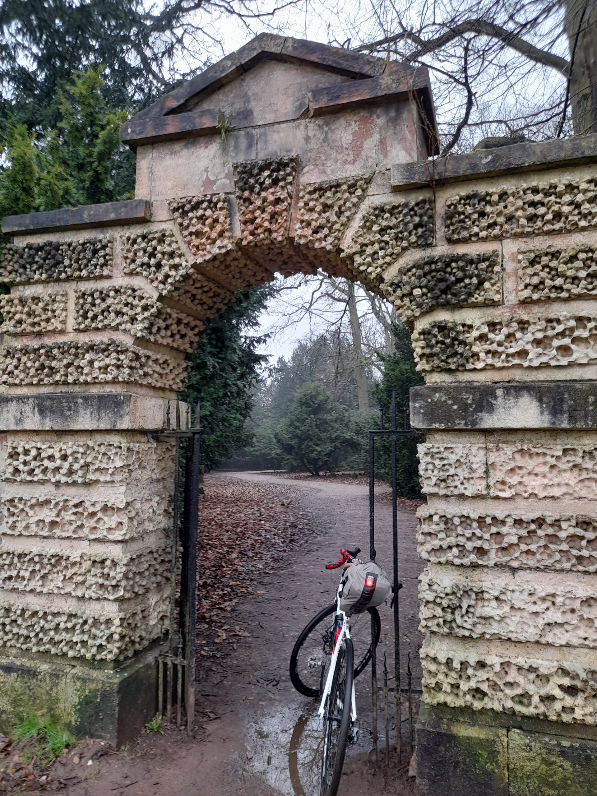
After a clearing off excess mud, by this time the bike was more muddy brown than white and eating a energy bar I set off on the final leg that thankfully was quiet tarmac lanes towards the Travelodge at Markham Moor. The relative ease of perambulation with a brisk tailwind was appreciated to the extent of cycling bliss. I now had a concern that the hotel would not allow such a dirty bike into the room so after surveying the petrol station opposite managed to employ their screen wash dispenser to clear away the worst of the mud.

The tidy standard room of a Travelodge, shower, enjoyable meal at the Eastern Dreamz restaurant and a good nights sleep prepared me for Day 2.

Day 2: Leaving the Travelodge on Day 2 I was greeted with a damp day. There was no rush, I had a very easy day planned reserving energy for a night out with friends in Worksop. I did however have the goal of visiting the new footbridge at Hardwick village before exploring Clumber Park.

The first section was via quiet lanes through Milton and the old road of the now demolished Bevercotes Colliery. After a few miles I arrived in Bothamsall and a stop to view Castle Hill, the remains of a Norman earth and timber works fortress. The ride from Bothamsall is also a quiet affair that emerges on the A614 Blyth Road where it is possible to cross directly onto a pleasant track that brings the cyclist or walker onto the road into Hardwick Village. Harwick is a residential village built to serve the workers of Clumber Park and established in the nineteenth century. The point of interest for me was the recently reconstructed bridge over the River Poulter. The last time I had crossed the old bridge was at least 10 years ago or longer. I recall being mesmerised watching a pike directly under the bridge. Since reconstruction much of the reed cover has been cleared leaving less cover for fish so this time the bridge felt more clinical but of course safer.
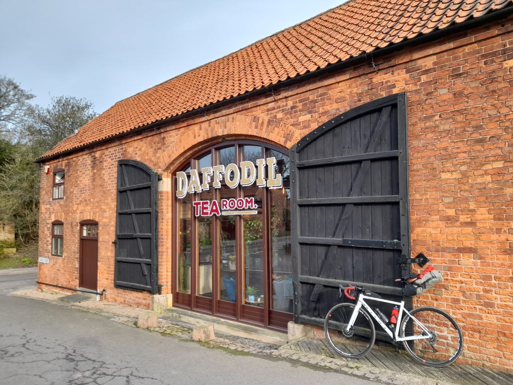
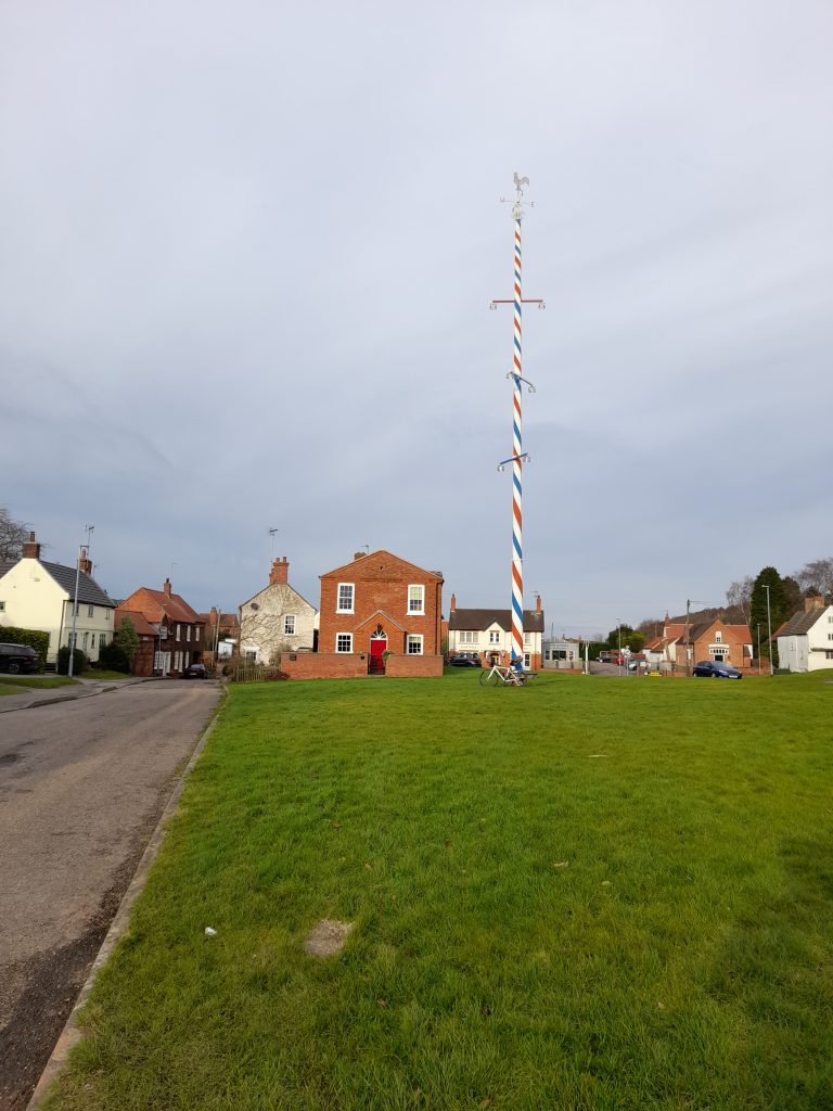
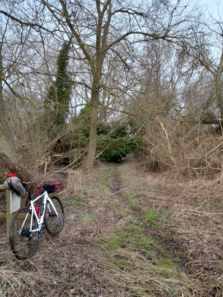
Clumber Park was established as the country estate of the Duke of Newcastle although the house itself was demolished in 1938. There remains the most incredible church that gives an indication of the wealth of the family, along with stable blocks and other buildings that now serve as visitor facilities. A born & bred socialist I’m always torn by the incredible inequity of such grand places whilst at the same time marvel at the architecture. Having such a grand church that could pass as a cathedral is a clear nod to the feudal system. It’s possible to spend hours in Clumber, now owned by the National trust. Although it can be busy on sunny summer weekends there are plenty of trails for the gravel biker to get lost in. So, after some lunch at the cafe and plenty of meandering I headed away from the park towards my destination in Worksop. NCN 6 takes one directly out of the park and into Worksop.

Worksop is a significant town with plenty of shops. It’s clearly still suffering from the economic and social impact of colliery closures and more recently the closure of the Wilko’s distribution centre that employed some 260 staff. I understand that there are plans to regenerate the town centre . The town, has rich heritage being the location of Worksop Manor, prison to Mary Queen of Scots. It was an important point on the Chesterfield Canal, it has rail connections to Sheffield and Nottingham. A proud mining district it now serves as a distribution centre due to its central location and the excellent rail and road connections.

And so, after relaxing in the Worksop Travelodge, a wash and brush-up I was ready to meet my friends from the north (Notts) for a curry and a pint. Even better that there was a surprise visit from a cycling mate of many decades who had travelled all the 65 miles from Lichfield to join us. I think I could write a whole book on my adventures with ‘Mapo!’ The night was made even better by the typical things that happen in a pub. After been mistaken for Mark Strong, whom I’d never heard of until looking him up on the internet the scenario was milked for all it was worth in school boy fashion. I shall retain the policy of anonymity rendering you, the reader unable to make your own judgement on this one. I would however pay thanks to the friendly people of Worksop for providing a source of laughter.

Day 3: The last and final day was back home to Hucknall from Worksop. It’s a route that I am mainly familiar with retracing my steps along route six and then heading east onto the outskirts of the Welbeck Estate. This is another grand estate that was the seat of the Duke of Portland. Unlike Clumber it remains in the private ownership of Welbeck Estates Limited and the residence of the Duke of Portland. This means that there is no public access beyond the established rights of way. Despite this denial of access to commoners the route through Welbeck that includes Drinking Pit lane is one of unquestionable fascination. It’s possible to imagine the countless travellers who have cut a path through the sandstone hollow. Many more have left their mark carved into the sandstone, something I would advise against. On this occasion the deep hollow was part filled with fallen leaves, protected from the elements by the steep sides and tree cover.

As though the route through Welbeck is not sufficiently enjoyable enough it then emerges onto the gravel track towards Creswell Crags. The caves there offer an insight into life 10,000 years ago. They offer educational tours and riding through I passed scores of school parties looking like mini Bob the Builders in the hi-viz jackets and yellow helmets. So ride through with respect for the many young and less able bodied visitor deserve.

The final section of note, that I’ve not written about elsewhere is the track through Poulter Country Park. Part of the Archeological Way this section of the trail utilises the Park and an old railway line. Newley discovered to myself, after a shimmy across the lanes from the A616 the route is a great off road bypass of Langwith and towards Shirebrook. After that it was the usual route back home via the Parliament Oak and the outskirts of Mansfield.

In conclusion; I made a deal with myself to stop trying too hard once I reached 60 and enjoy life at a slower pace. The unexpected onset of a medical emergency made this less of a choice and more of a reality check. There is something beautiful in the ability to transport oneself many miles without the need to rely on artificial propulsion and with little environmental impact. I recall the actor Paul Eddington speaking at a time when he faced terminal illness. Paul said he would like to be thought of as someone who did very little harm (in a world where a lot of people do a great deal of harm). As cyclists we hopefully contribute very little harm whilst finding our paths to exploration and enrichment. If I can follow that path for the remainder of my active life then I shall be a happy man.

This tour was about making a milestone doing the thing that I love, sharing an evening with good people and not breaking records or pushing my old body to exhaustion. I look forward to the next decade of cycling.

Posted on

New year dead end, a story of the Nottingham Park Tunnel

New Year’s Day can be both an inspiration to make changes and plans for the forthcoming year as well as resolutions that are likely never to be kept. I like to think of it as an opportunity for hope and reflection and the best way for me to achieve this is to go on a bike ride. I expect you thought that might be my conclusion.

One of the enjoyable things to do on a New Year’s Day bike ride is go somewhere you wouldn’t normally. This year I decided to ride through the city of Nottingham whilst it was dead to traffic and the only people I came across during the first hour of my 07.30 start were the people who had not yet managed to make it home from their late night revelry. The Gravel Notts Route 7 (GRN7) already has a well worked out route through the city that takes advantage of as many gravel tracks and traffic free options as possible. Today I decided to utilise part of that route, National Cycle Network 6 and return along the river Leen Greenway. However, I had a different goal to that of GNR7. My goal was to visit and photograph the Nottingham Park Tunnel.

The Park is a rather upmarket semi private residential area just off the city centre. The wealth there is obvious even today with grand houses all around and the Nottingham Castle Tennis Club at its core. Sitting high above The Park stands Nottingham Castle on its sandstone plinth. There are various entrances with large wooden gates denoting that this is a special place reserved for those of a certain station in life.

Anyhow, enough of the working class chip on my shoulder, no doubt the Duke of Newcastle was an honest guy who accumulated his great wealth and assets through endeavour, oh and a family peerage that dates back to their support of the loyalist cause. As well as owning the Park the Duke once owned Clumber to the north of the county, featured in the Gravel Notts routes.

It was the then Duke of Newcastle who commissioned the tunnel as a spectacular entrance the Park in 1885. The idea being to provide access to horse drawn carriages. The project was an engineering disaster with the eventual gradient being too steep for its intended transportation. So, we are left with a piece of abandoned engineering. Two stretches of tunnel unsupported through the sandstone with an open air section in the middle. After entering the tunnel from Tunnel Road you reach a dead end to traffic and an impressive stone staircase that winds its way up onto Derby Road.

The structure is just one of the unusual and interesting things that I shall write about in a Gravel Notts publication (hopefully) later this year. It’s another reminder of the geological history of our fine city and well worth exploring although it is literally a road to nowhere.

Sources of information various public.

Posted on

Boxing Day Byways

Boxing Day is a traditional English bank holiday that sees a full sporting calendar and people walking off overindulgence from the day before. Its origins are more philanthropic, a day for giving to those less fortunate than one’s self. I tend to view Boxing Day as a time to give back to my soul and replenish wellbeing with a good dose of cycling and being out in nature.

This year, on a bright clear morning I decided to explore a byway that I’ve not ridden before. Surprising because Carvers Hollow is not far from where I live, about 20km away in fact. It does not feature on the Gravel Notts routes simply because it’s not really on a route to anywhere. So, having designed a ride around Cavers Hollow, the adjoining Newhall Lane and interestingly named Cutlersforth I set out early with my leftover vegetarian roast and stuffing sandwich, along with a flask of coffee.

Making my way out of the home town, across Papplewick Moor and through Samsom Wood I decided to try a new footpath linking two main roads to avoid the traffic. That was the real start of my adventure. Having crossed a field into the nearby coppice I was in for a surprise. Within this small patch of trees runs a stream that feeds Beanford Ford. The narrow wooden bridge across the stream had been partially washed away during recent floods forcing a precarious crossing of man and bike.

Having made my way over the stream hauling my heavy winter bike down and out of the obstacle I continued out of the wood and along a delightful track to the main road. The main road was thankfully deserted this early on a bank holiday.

After a short stretch of A road, I took a right into Greaves Lane and climbed the 10% hill before descending in the direction of Edingley village for about two kilometres. A sharp right took me away from the village and my exploration of Carvers Hollow began with a sharp climb maxing out at about 15%. Not much in the way of things but my winter bike only sports an 8 speed 38/28 so I was working by the top of the climb.

The semi-tarmac Carvers Hollow was smooth in comparison to the unnamed byway taken to the left and towards Newhall Lane. At the summit there was a convenient concrete block that served as a table for my sandwich break. Continuing on Newhall Lane offered a similar surface with the occasional deep puddle to ensure our washing machine would be pressed into service upon my return home.

Turning into Cutlersforth I eventually emerged north of Halam village before the climb to Oxton Bank and a fast descent towards more familiar roads and home.

All in all, this was a satisfying adventure that gave more than expected for a short ride of less than 40km. Back home to a shower, rolled eyes from the wife and an afternoon of more Christmas leftovers.